




Routes and Trails
PR-CV 164 - Aigua i roca
Max elevation: 637 m
Min elevation: 126 m
Total climbing: 733 m
Total descent: -733 m
Total time: 04:30:11
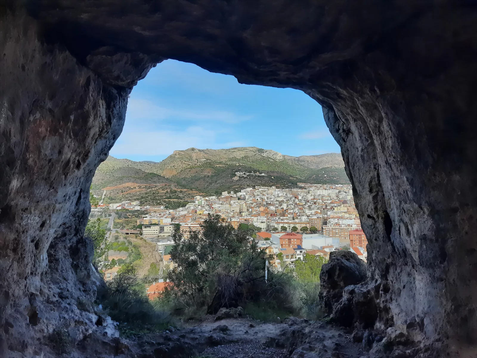
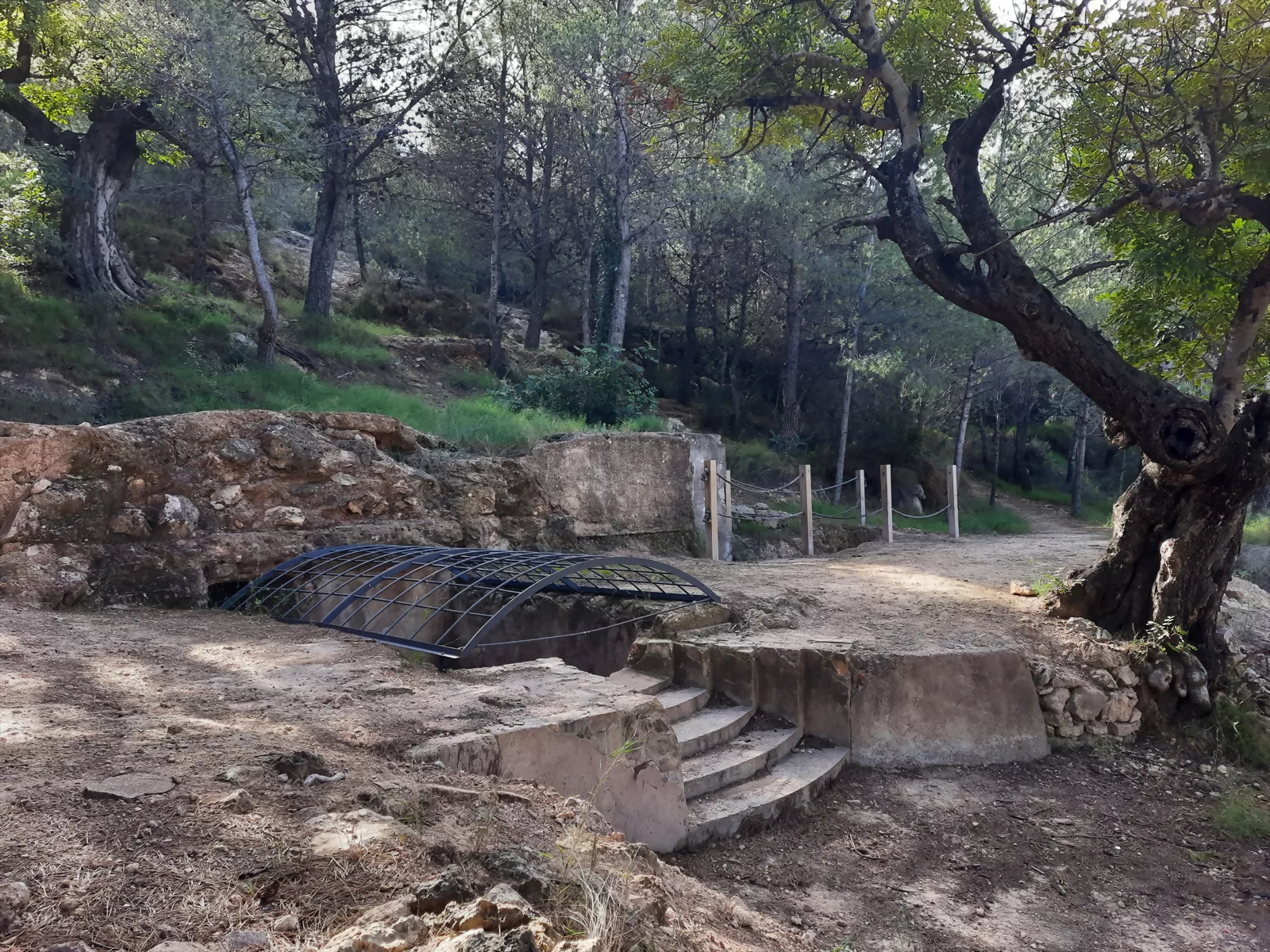
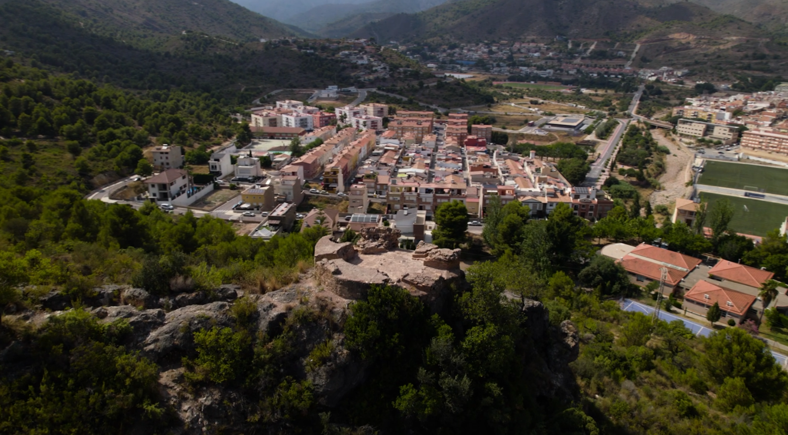
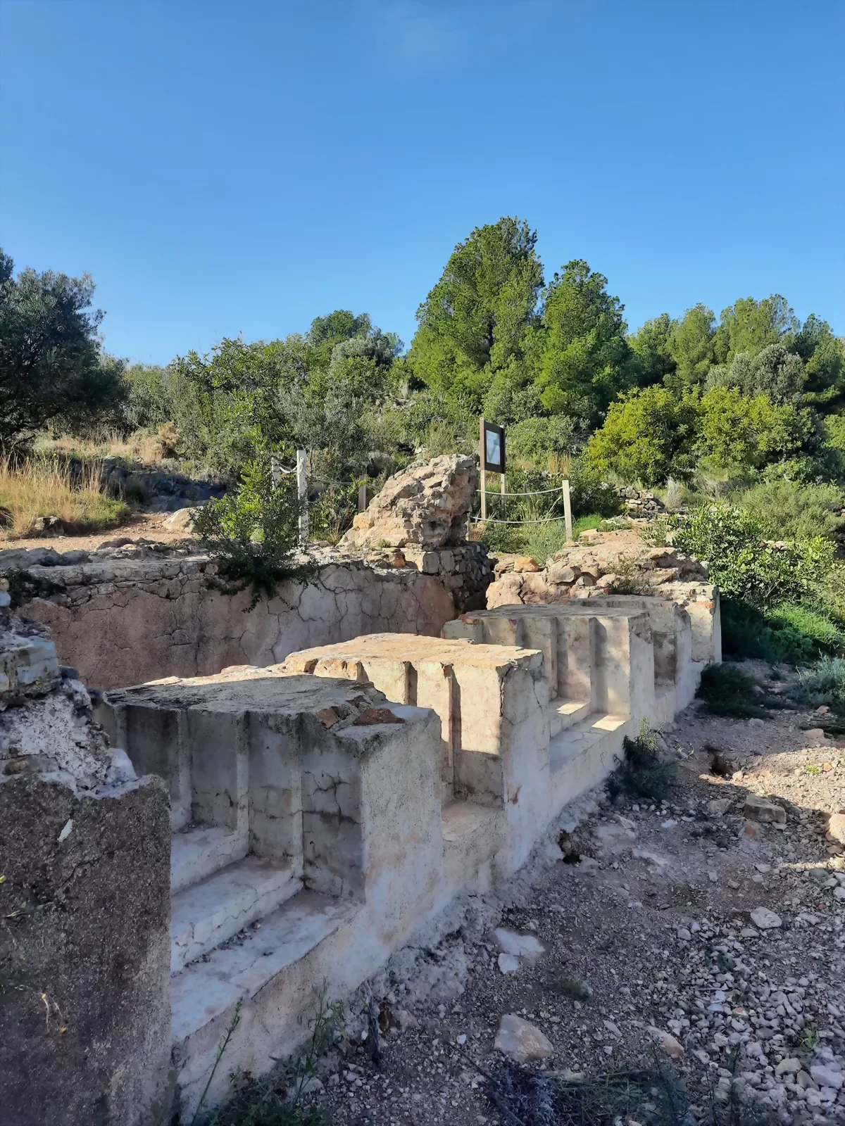
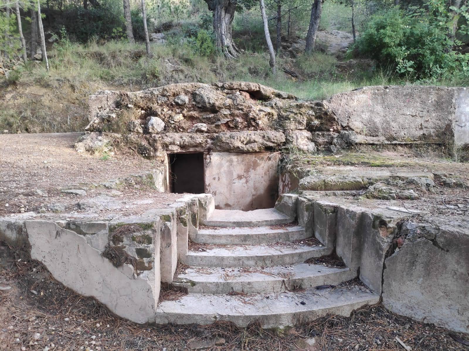
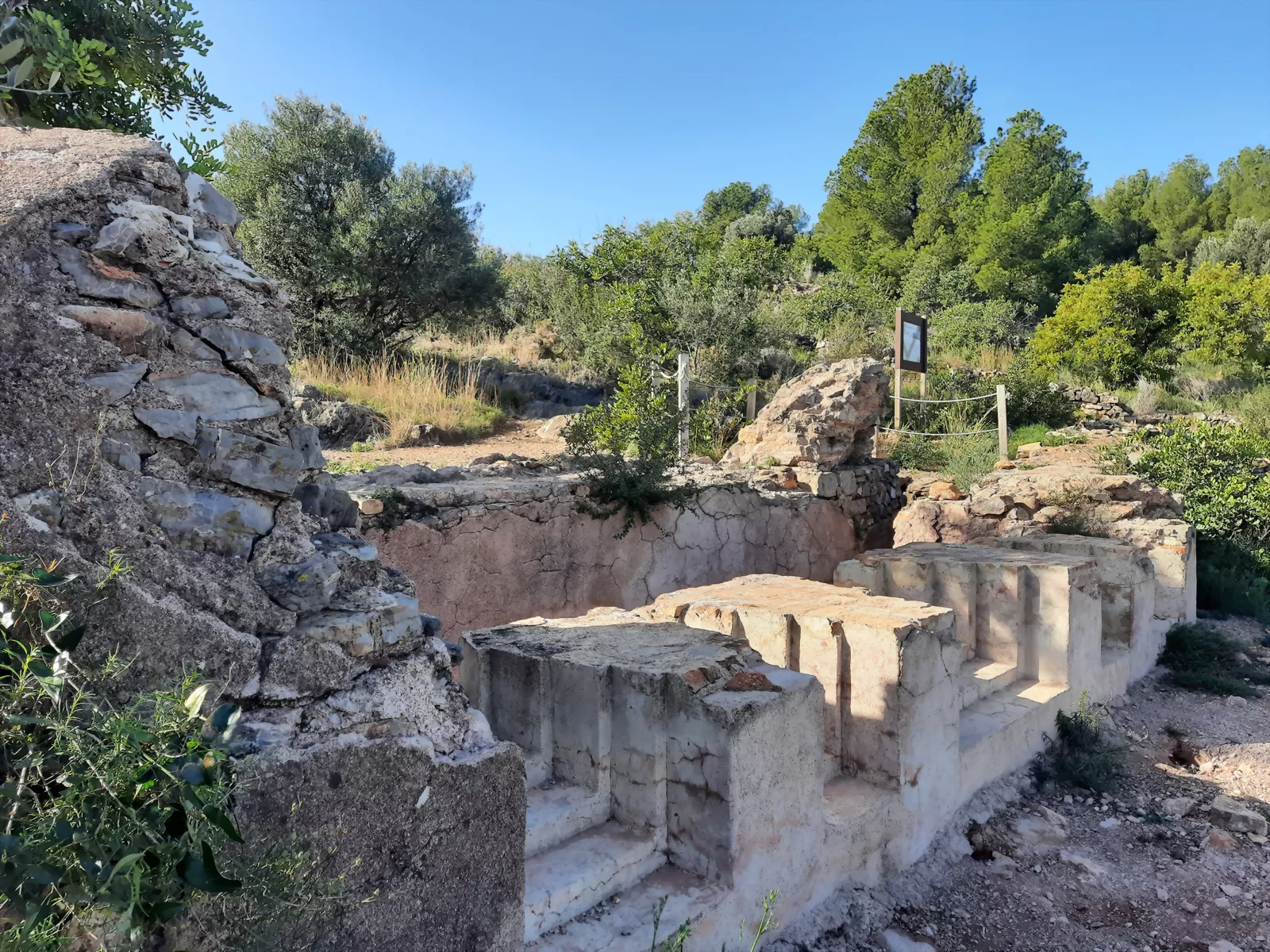
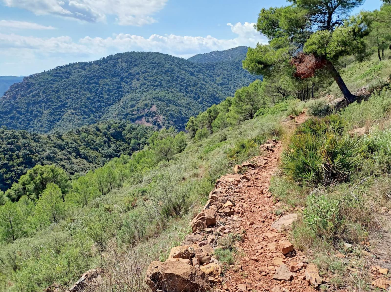
The PR-CV 164: Aigua i roca is a route that invites visitors to discover the natural and scenic richness of la Vall d’Uixó by following ancient mountain paths that connect springs, ravines and imposing rock formations. The route passes through some of the most iconic landscapes of the mountain range, where water and rock have shaped the terrain over the centuries.
Following trails and forest tracks, hikers enter a Mediterranean environment of great beauty, passing springs, mountain passes and places steeped in history, with exceptional panoramic views over la Vall and the surrounding mountains. It is an ideal route for connecting with nature and discovering the natural heritage that defines the landscape of la Vall d’Uixó.
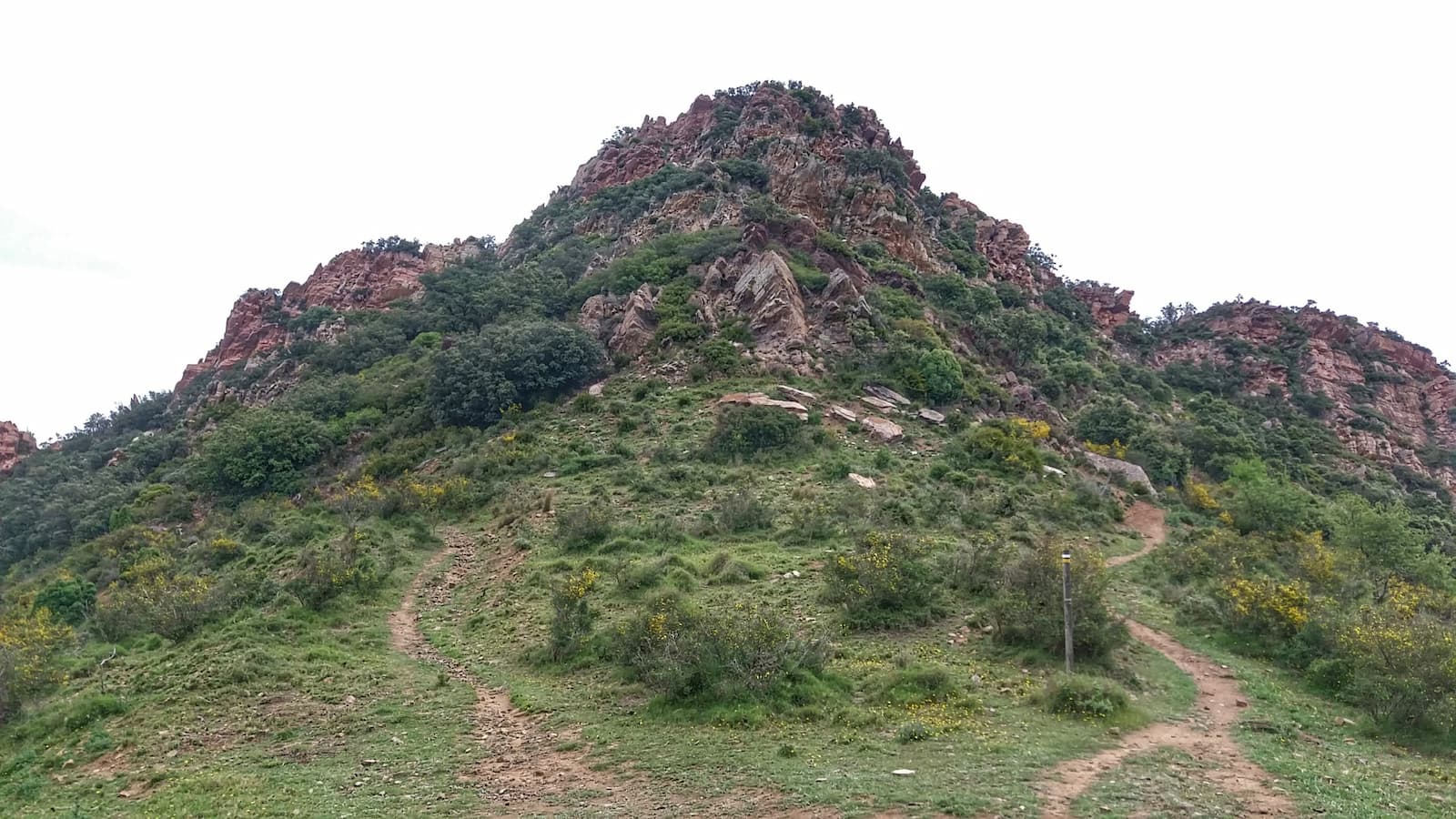
Images of the PR-CV 164 - Aigua i roca trail
PRV-241 From Sant Josep to Cel
Max elevation: 588 m
Min elevation: 125 m
Total climbing: 1051 m
Total descent: -1051 m
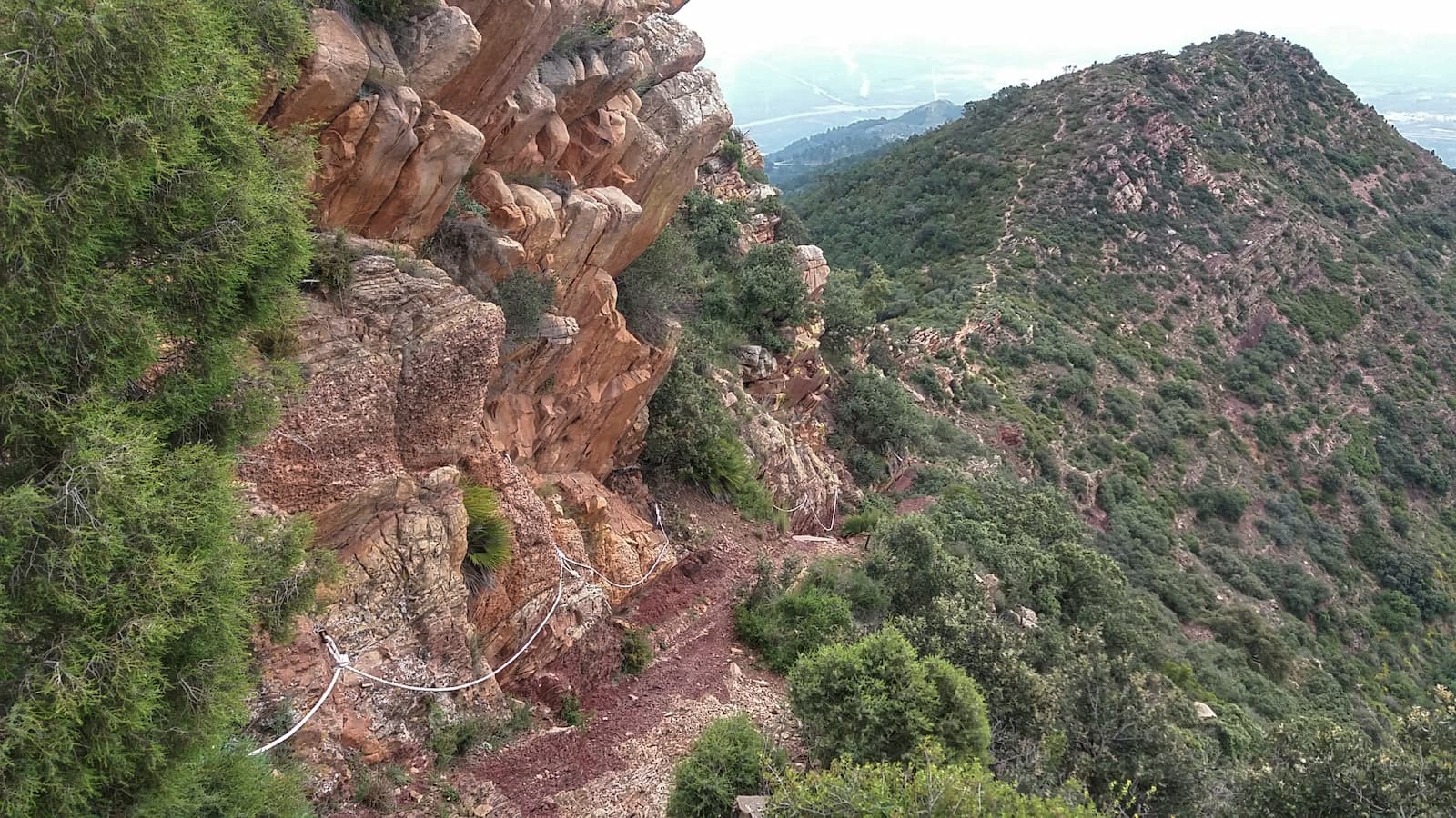
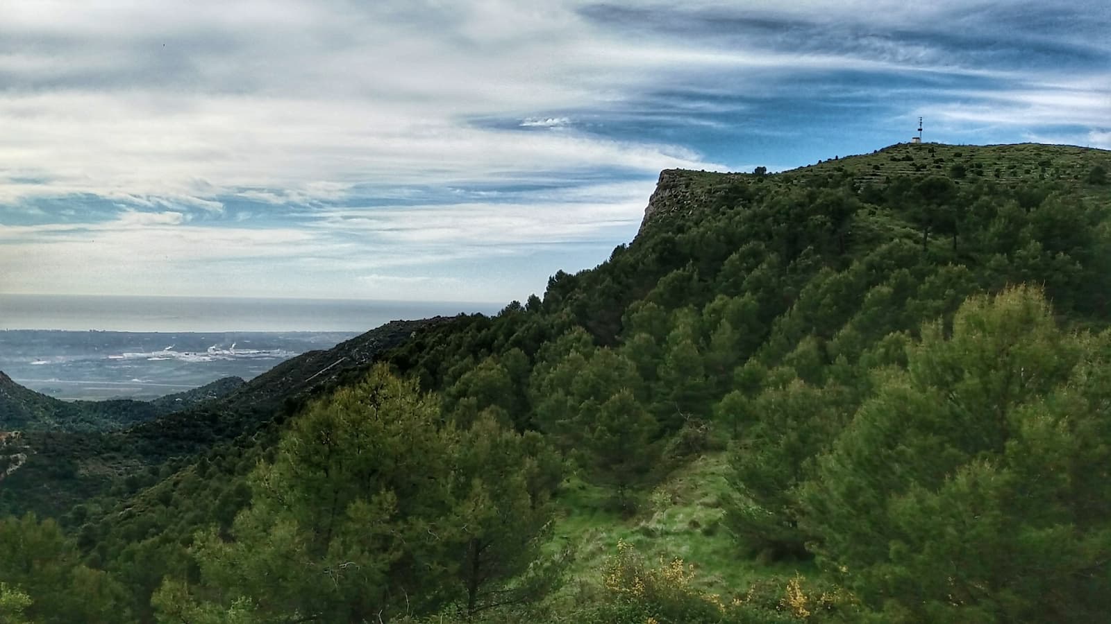
The route starts at the natural site of Sant Josep. After crossing the bridge, we take the path that goes to the left, known as the Cristal path (Senda de Cristal). After passing by the Cristal pool, we reach a crossroads with the path of Sant Antoni and Rincón de Montesinos, which ascends gently over a small hill. Although this section is narrower, it is comfortable and easy to walk. Along the way, we leave the hermitage of Sant Antoni on our right, while the landscape changes and wild vegetation begins to take over ancient farmlands.
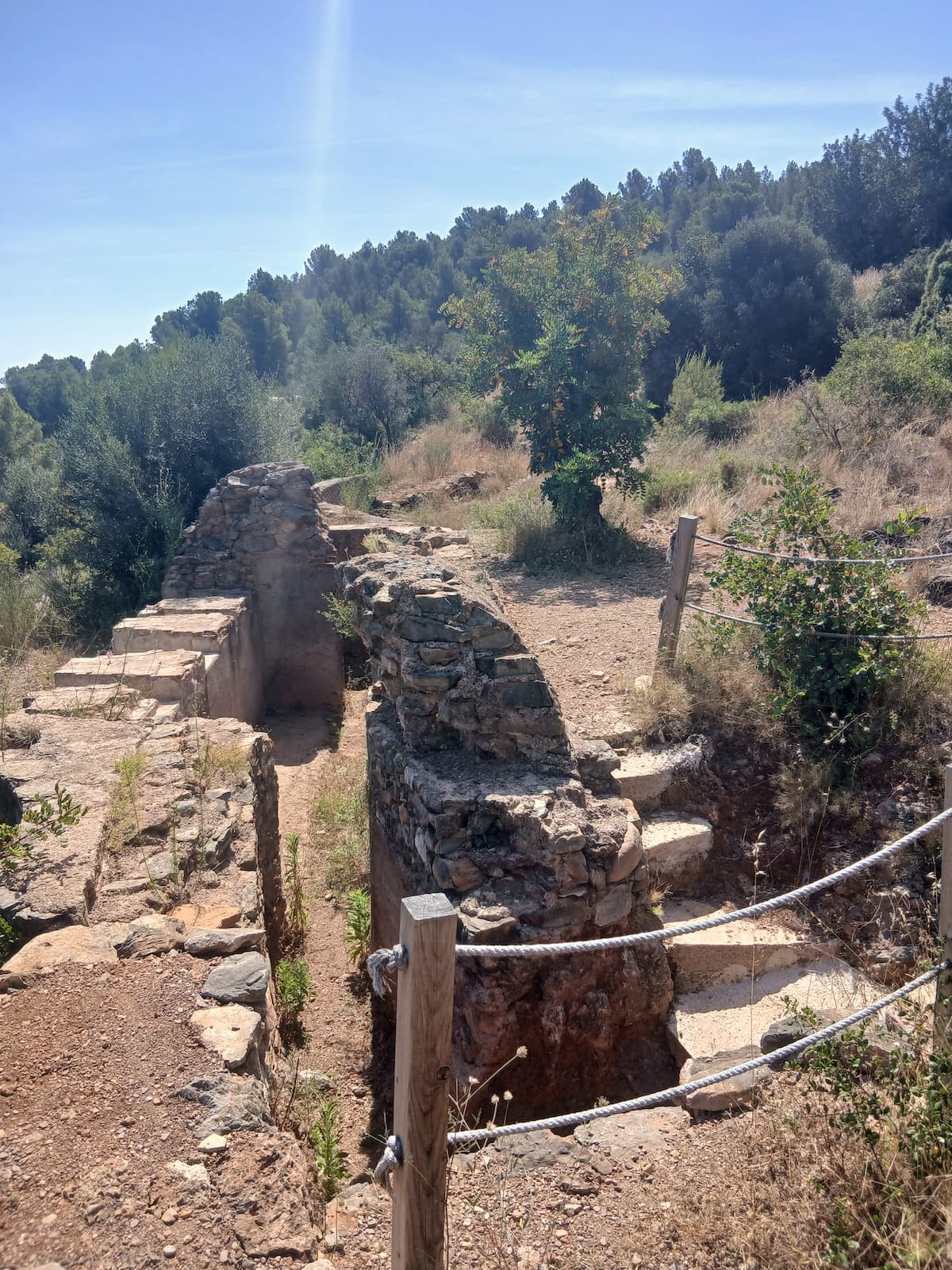
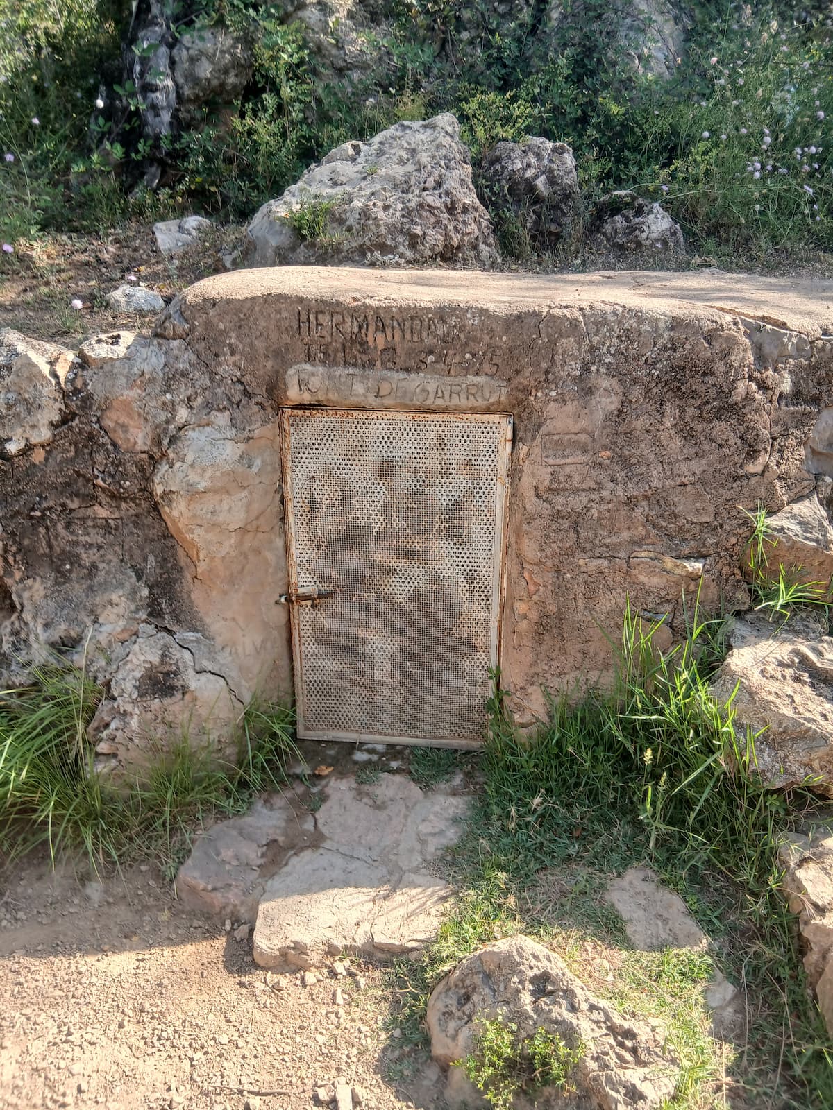
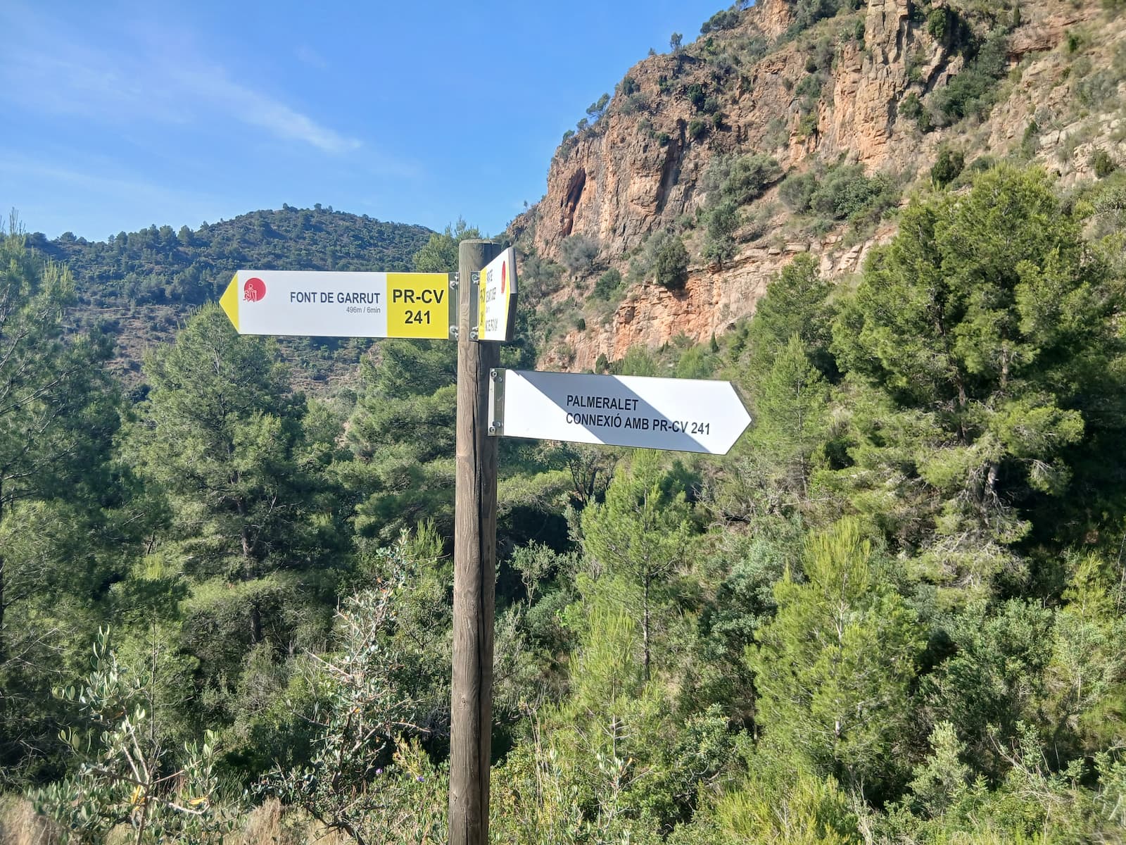
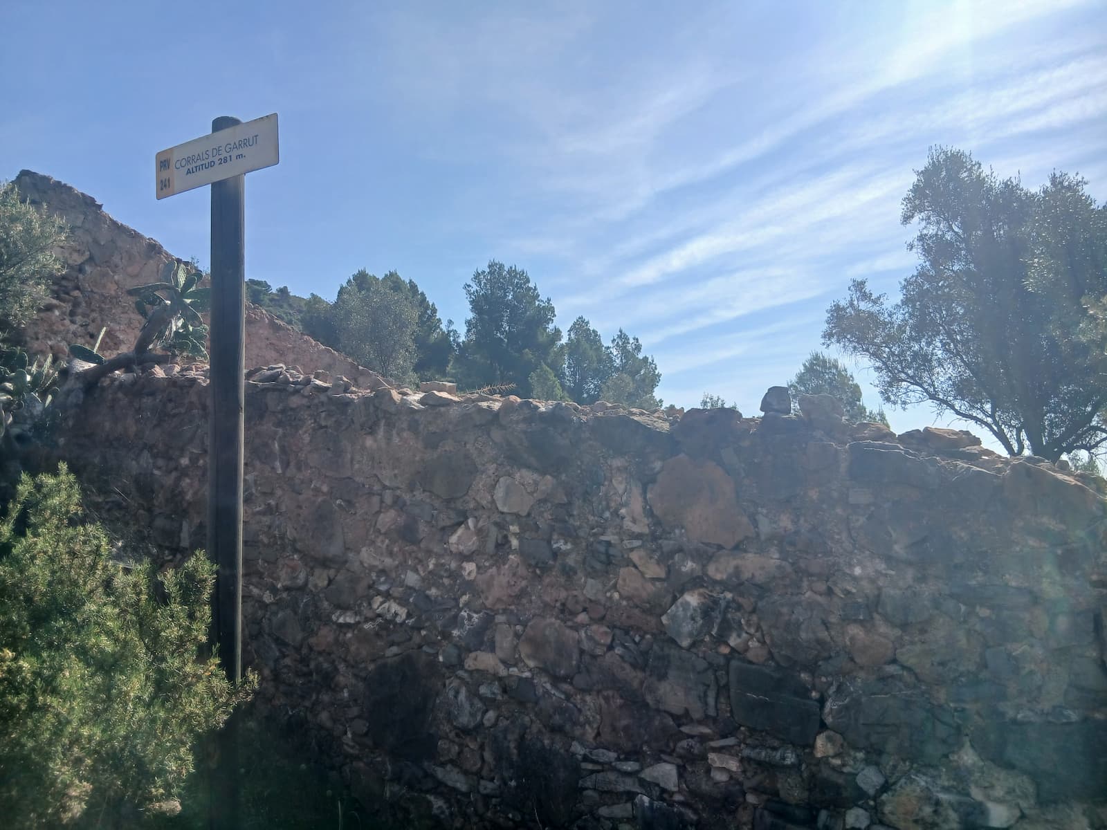
Further on, we join a forest track for about a kilometer and a half. In this section, a downhill path appears on the left, which we follow towards the corrals and the Garrut spring. Going down the Garrut path, we first find an old dry-stone cistern (aljibe) and, shortly after, the Garrut corrals. Crossing the valley, we continue along the Font de Garrut path.
About five hundred meters ahead begins the Cagarrita path, which climbs more steeply until it connects with the Solanes path. From there, we go around the Rodeno mountain and continue along a short paved section until we find, on the right, the Aiguamolls path, which runs along the mountainside.
Shortly after, another narrower path appears, located between an almond grove and a bank: the Rodeno path. After reaching the highest part of the route, the trail begins to descend to a crossroads where we continue straight ahead on the Palmeralet path, also known as the Pipa or Collado de Garrut path, which leads to the Alto de la Pipa.
The descent begins on the eastern slope via a narrow but well-marked trail. A few meters down, we find a fork that we ignore to continue descending. As we progress, the slope becomes less steep until we reach Racó del Batlle, located at the bottom of the Sant Josep ravine.
From there, we simply follow the ravine to the right to return to the natural site of Sant Josep.
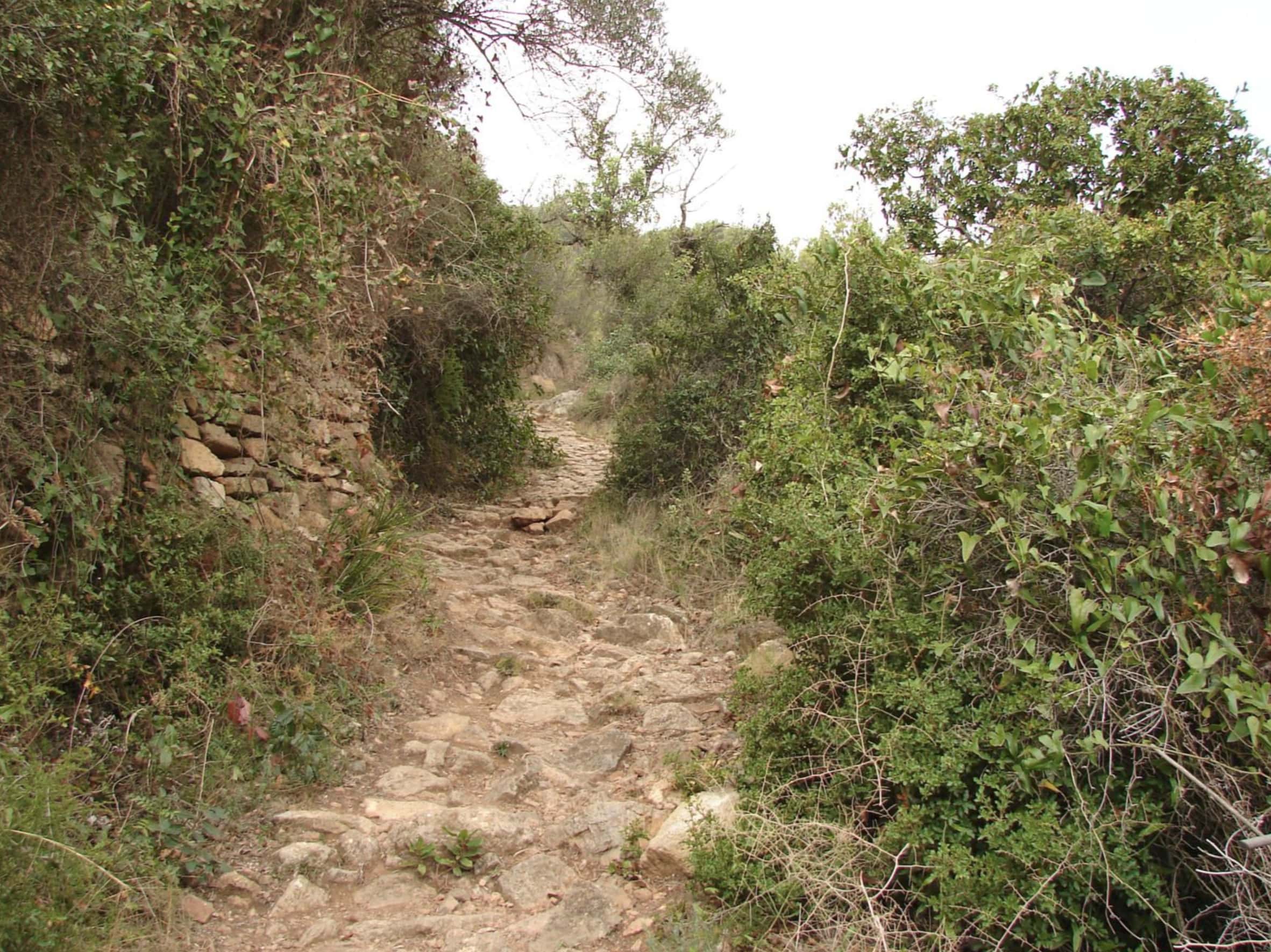
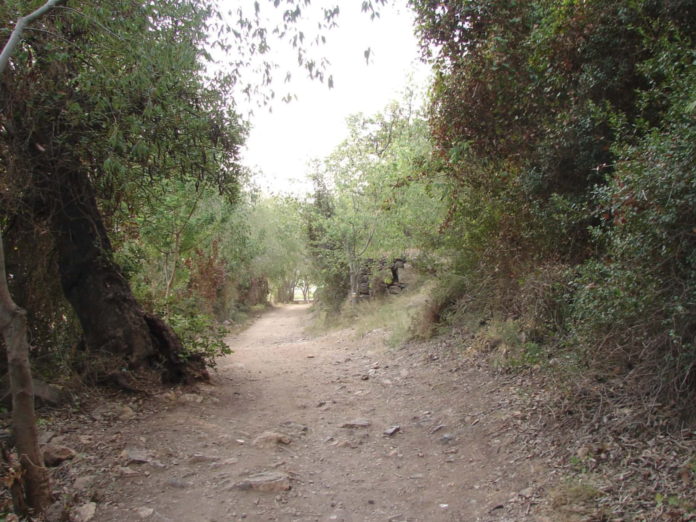
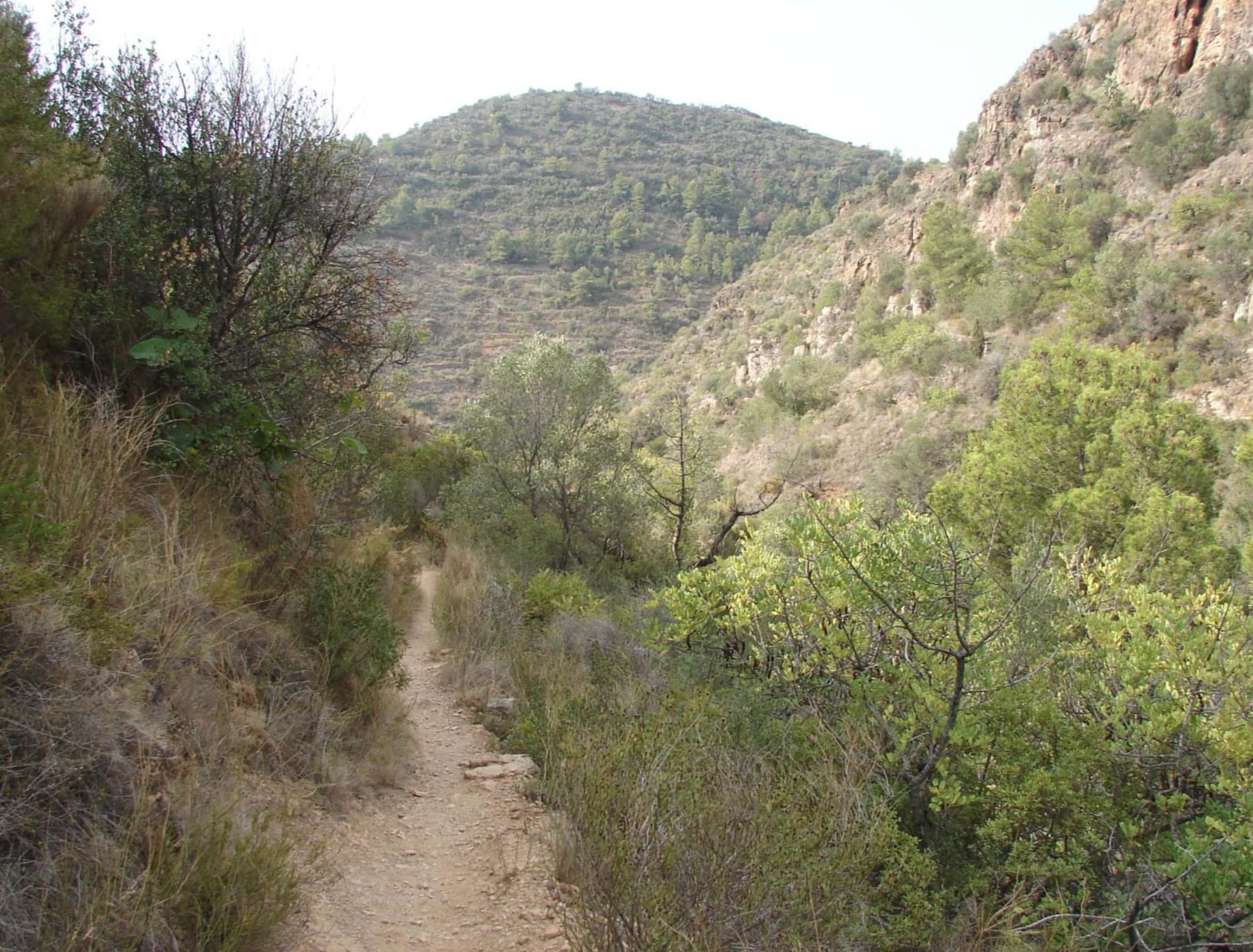
Images of the PR-V 241 trail
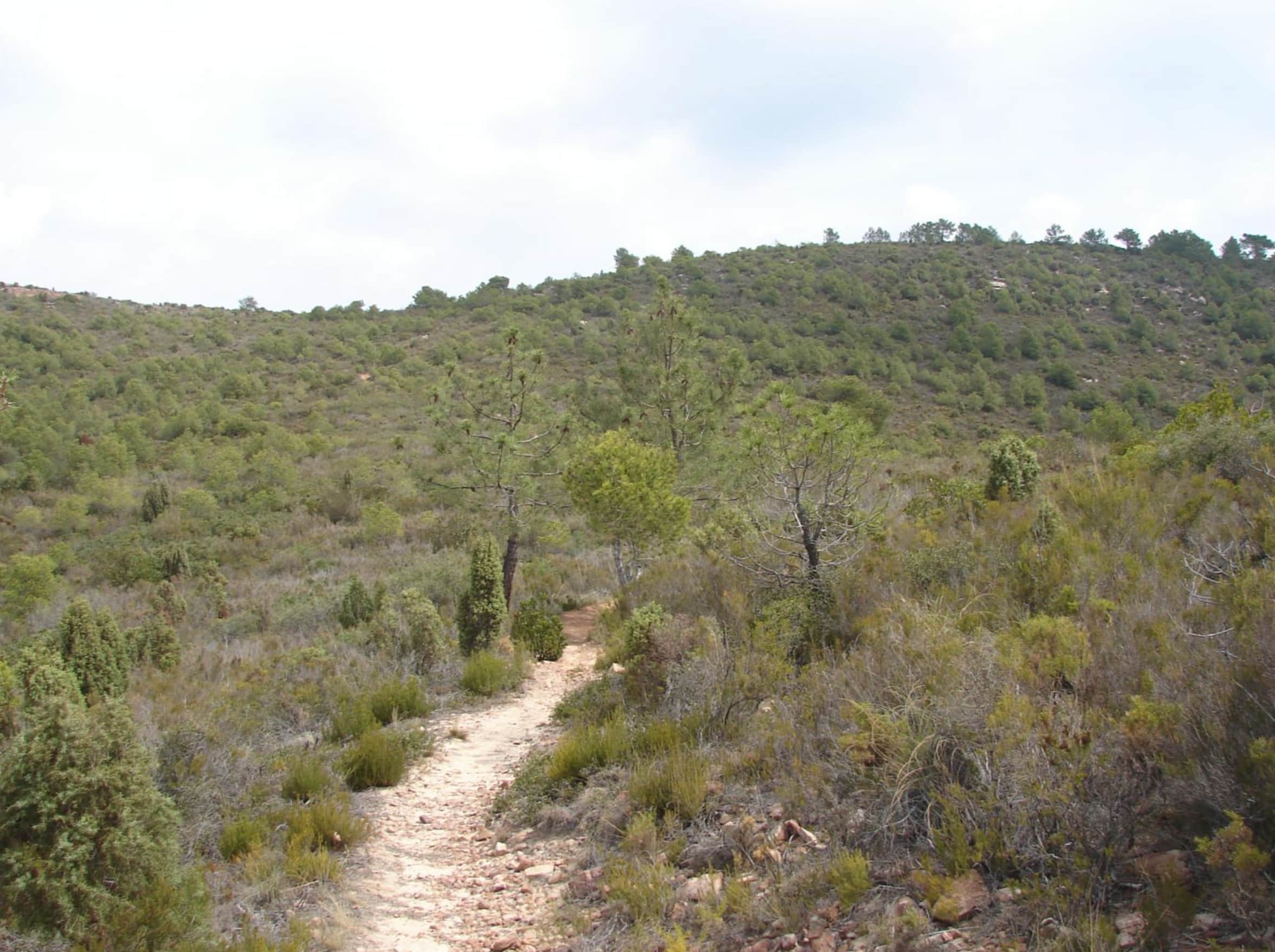
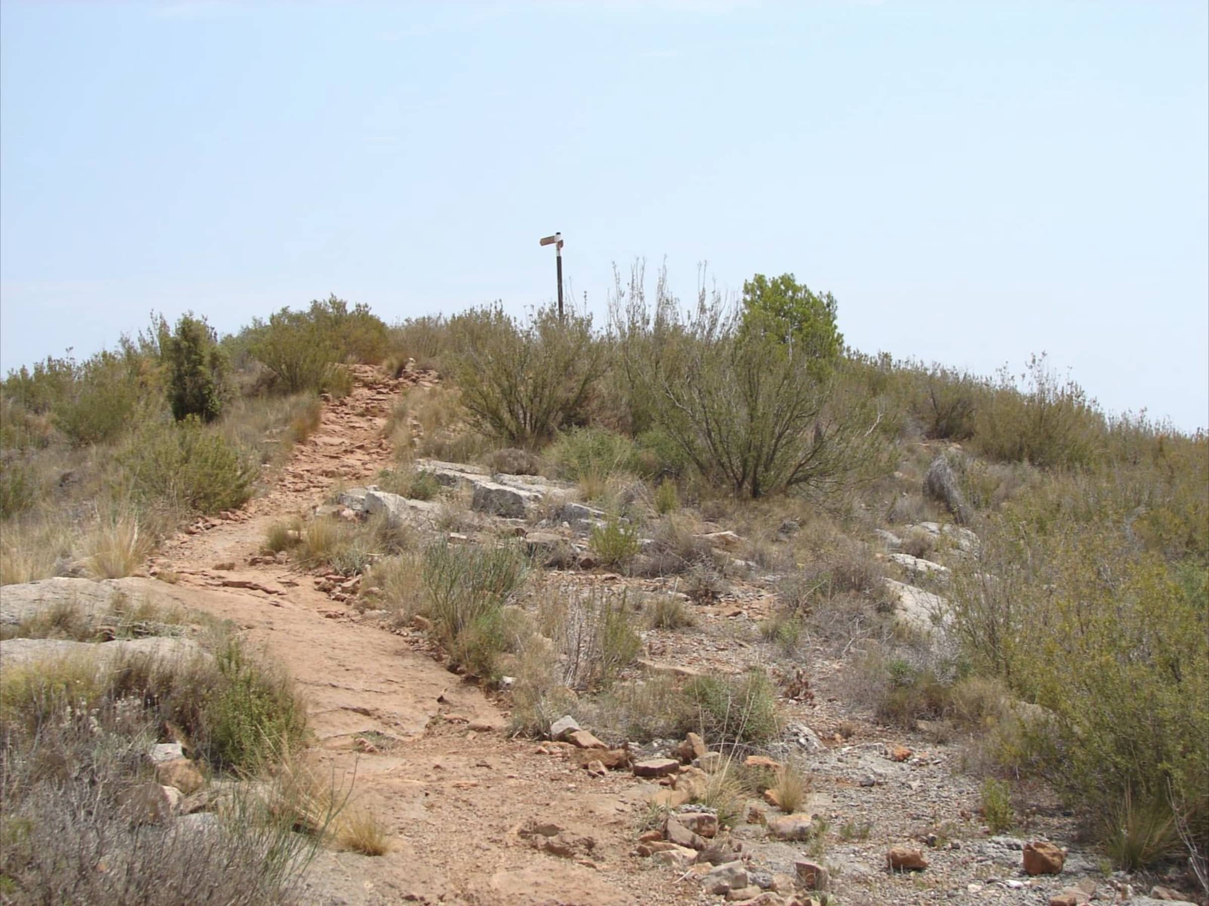
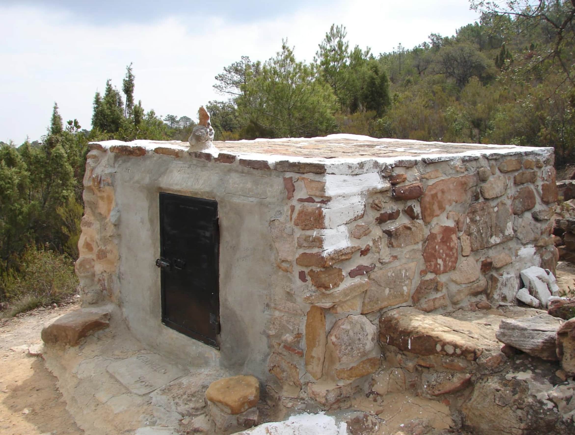
Font de la Severa
Max elevation: 227 m
Min elevation: 127 m
Total climbing: 173 m
Total descent: -90 m
Total time: 00:06:32
Font de la Servera is a route that invites you to discover one of the most peaceful natural spots in the Vall d’Uixó, following paths through ravines, pine woods and old mountain trails to the Font de la Servera, a spring closely linked to the traditional use of water and to life in the hills.
Along the way, walkers enjoy a beautiful Mediterranean setting, with changing landscapes and wide views over the Vall and its surrounding mountains. An ideal route to connect with nature, discover the area’s water heritage and enjoy one of the most distinctive and best-preserved places in the municipality.
Puntal Redo
Max elevation: 339 m
Min elevation: 127 m
Total climbing: 357 m
Total descent: -357 m
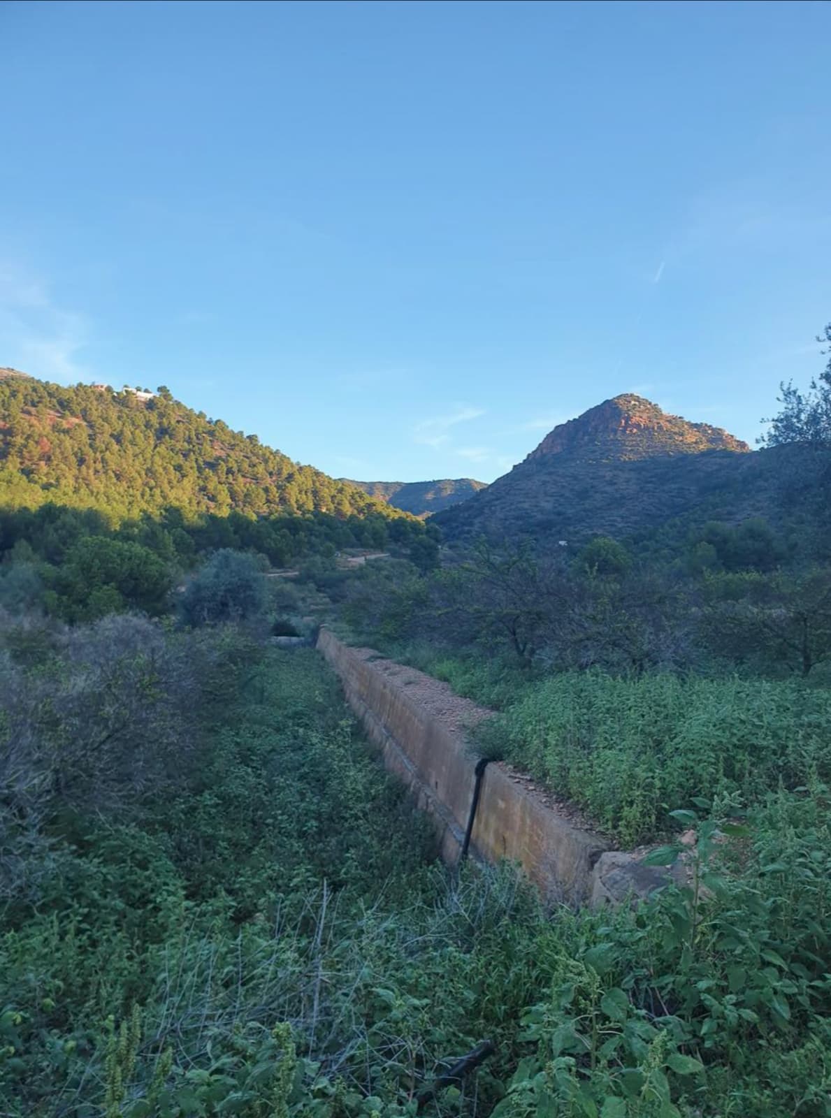
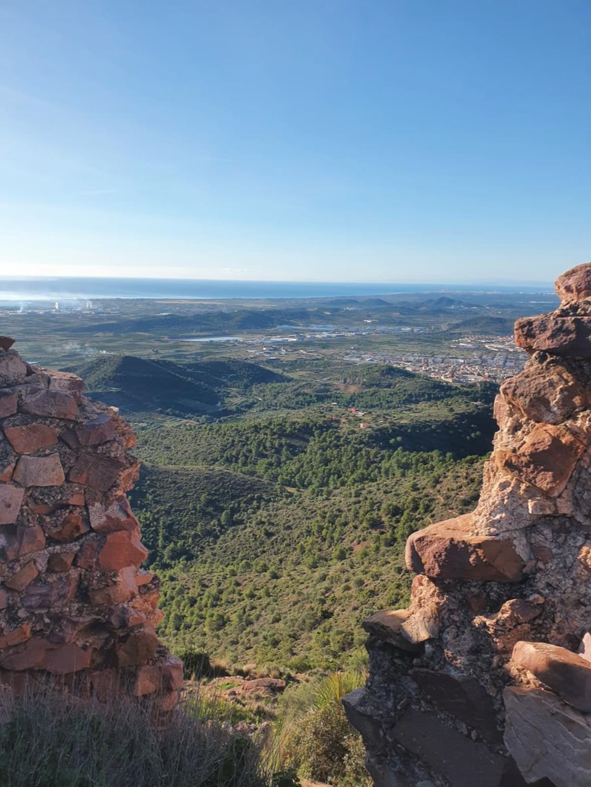
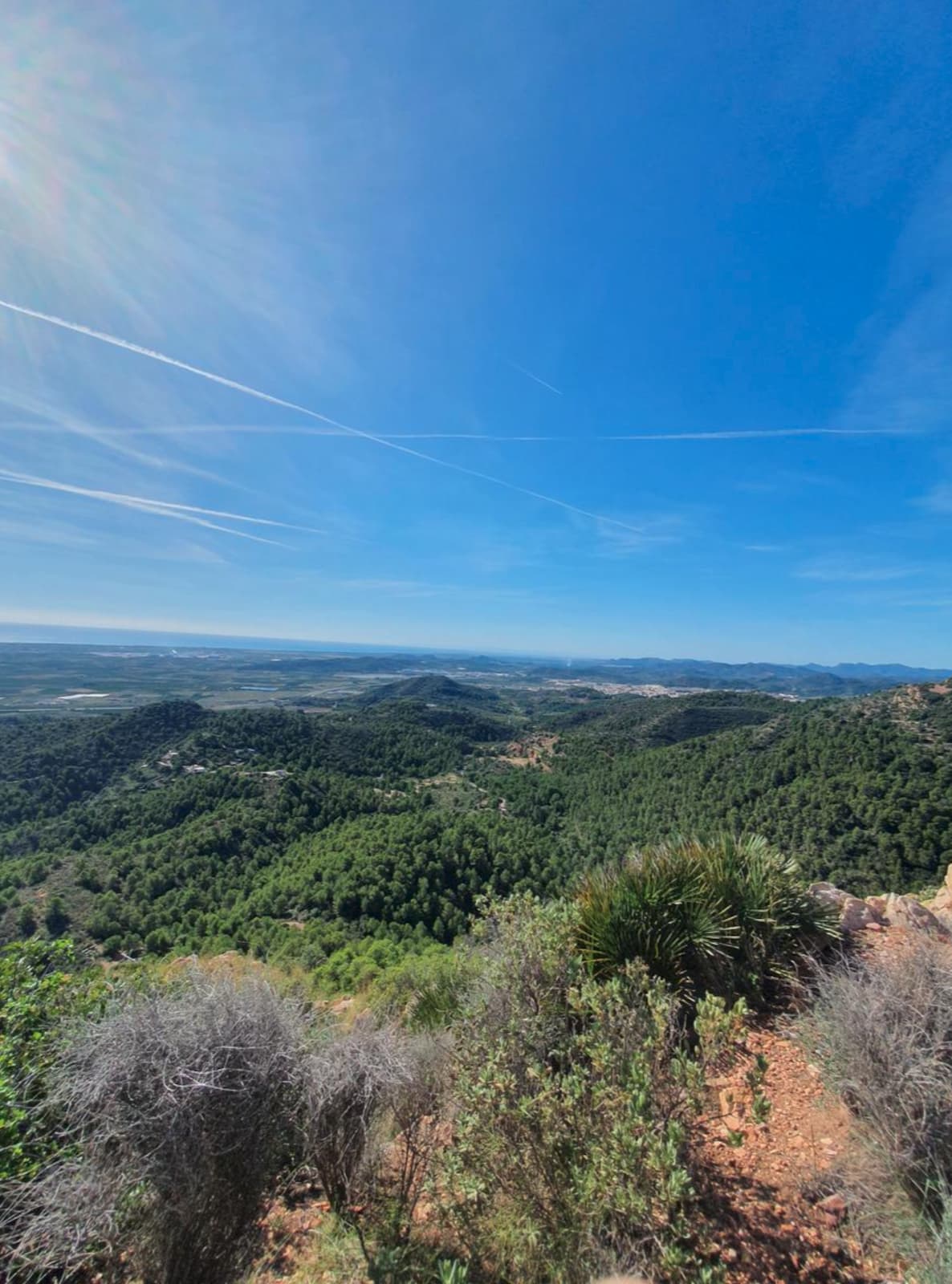
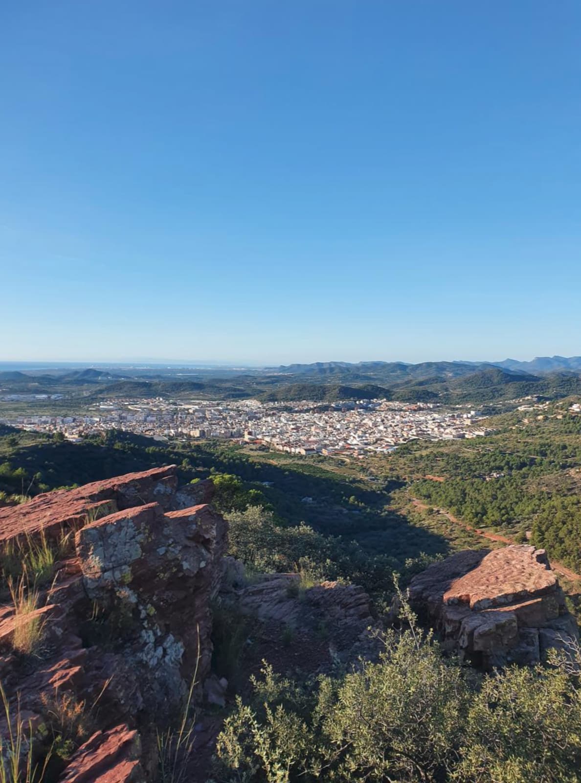
Puntal Redó is a route that climbs to one of the finest natural viewpoints in the Vall d’Uixó, combining nature, effort and spectacular panoramas. Along mountain paths, the trail crosses a Mediterranean landscape where pine woods, scrubland and rock formations create a setting of great beauty.
From the summit of Puntal Redó, the views take in the Vall d’Uixó, the Sierra de Espadán and La Plana, making this an ideal outing for lovers of hiking and sweeping landscapes. A perfect route to discover the natural wealth of the municipality and enjoy the mountains from one of their most privileged spots.
Images of the Puntal Redo trail
Uixó Castle
Max elevation: 487 m
Min elevation: 125 m
Total climbing: 461 m
Total descent: -443 m
Total time: 02:30:25
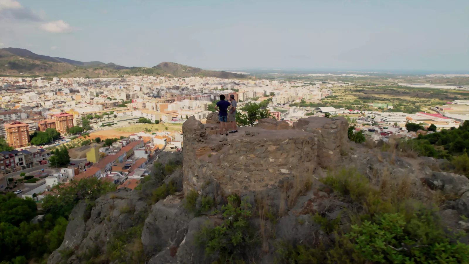
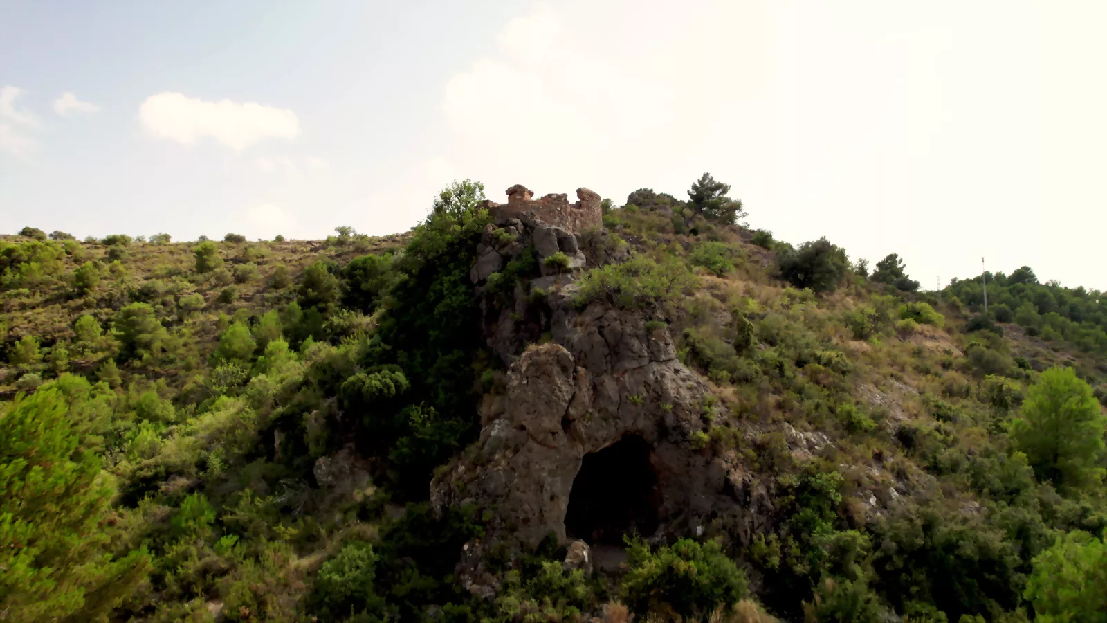
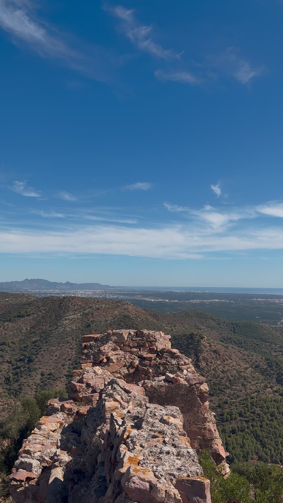
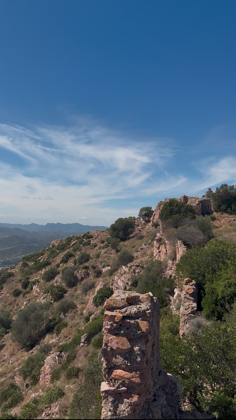
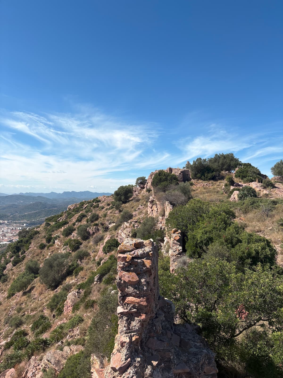
Castillo de Uixó es una ruta que invita a descubrir los orígenes históricos de la Vall d’Uixó a través de un itinerario que asciende hasta los restos del antiguo castillo, una fortaleza de origen islámico situada en un enclave privilegiado. El recorrido combina patrimonio, naturaleza e historia, y ofrece una visión única de la evolución del territorio a lo largo de los siglos.
A lo largo del camino, el senderista atraviesa un paisaje típicamente mediterráneo entre pinares, bancales y sendas de montaña, mientras disfruta de magníficas panorámicas sobre la Vall, la Sierra de Espadán y la Plana. Una ruta ideal para descubrir uno de los espacios con más valor histórico del municipio y adentrarse en el pasado que dio origen a la Vall d’Uixó.
Images of the Uixó Castle trail
PR-164 Corrales de Turmó
Max elevation: 476 m
Min elevation: 56 m
Total climbing: 654 m
Total descent: -595 m
Total time: 02:39:38
We start our route at the Plaza de la Asunción and head up the street towards the ascent of the Turmón Ravine (Barranco del Turmón). From there, we take a paved track (PR-164), which we follow for approximately 1 km until we find a detour, where we take a dirt track that runs parallel to the Turmón Ravine.
We will follow the track without leaving it until its end, where we will find an old farmhouse (masía) and a small esplanade. If we continue along the path running parallel to the ravine, in about 500 meters we will reach the Estamero Mines.
Once the mines have been visited, we must return along the same path back to the esplanade. There, to the right of the farmhouse entrance, we will see an ascending path. We take it and, after walking about 40 meters, we must pay attention to turn northwest.
We will continue along a well-defined path until we reach a hillside where the Fronto Cistern (Aljibe de Fronto) is located. Although the vegetation practically covers it today, we will also find a signpost. At this point, we must head in the direction of Ereta.
Following that direction, about 1 km further on, we will reach the Corral de Turmo, an ideal place to take a break and eat something while enjoying the good shade in the area.
From there, we will descend via the well-known Hunters' path (senda de los Cazadores), a very clear and easy-to-follow trail. We must pay attention halfway down the descent, as we will find several side trails that we should ignore until we reach the track that goes up towards Sant de la Pedra.
Once on the track, all that remains is to walk down peacefully to the start of the route, passing by the characteristic Casota.
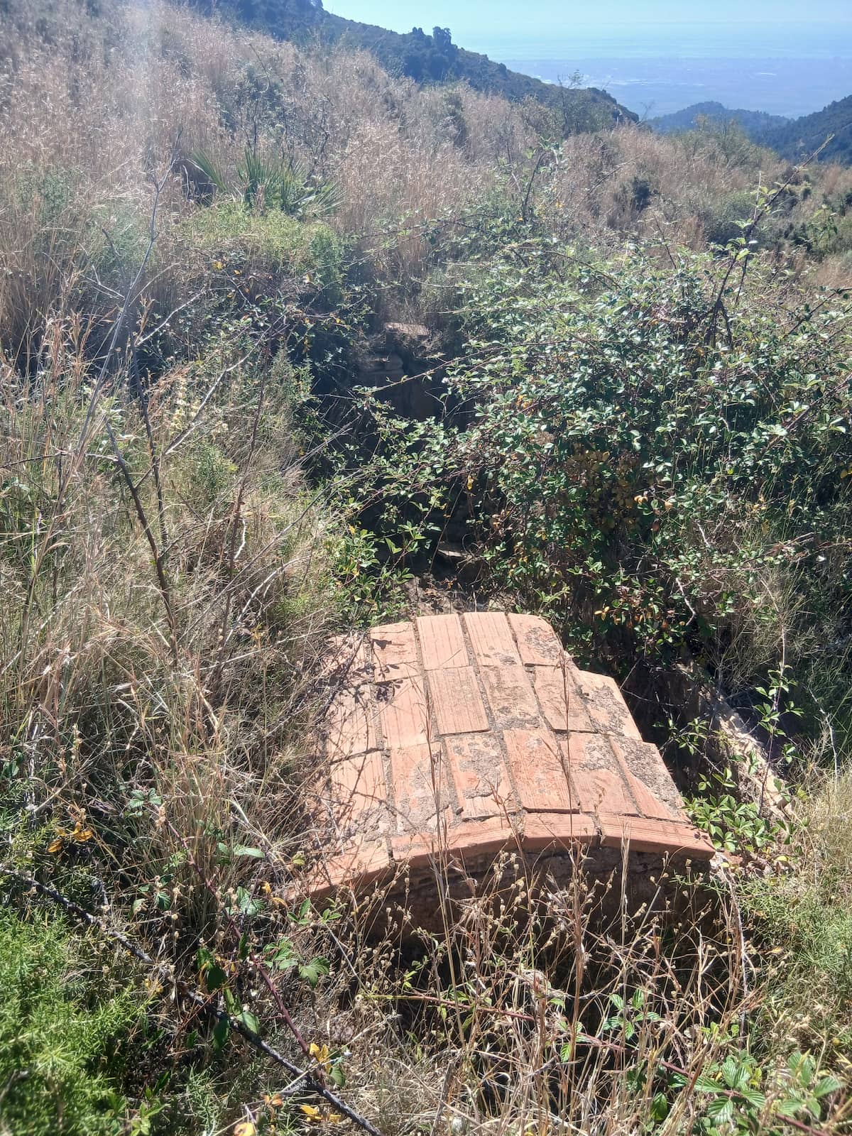
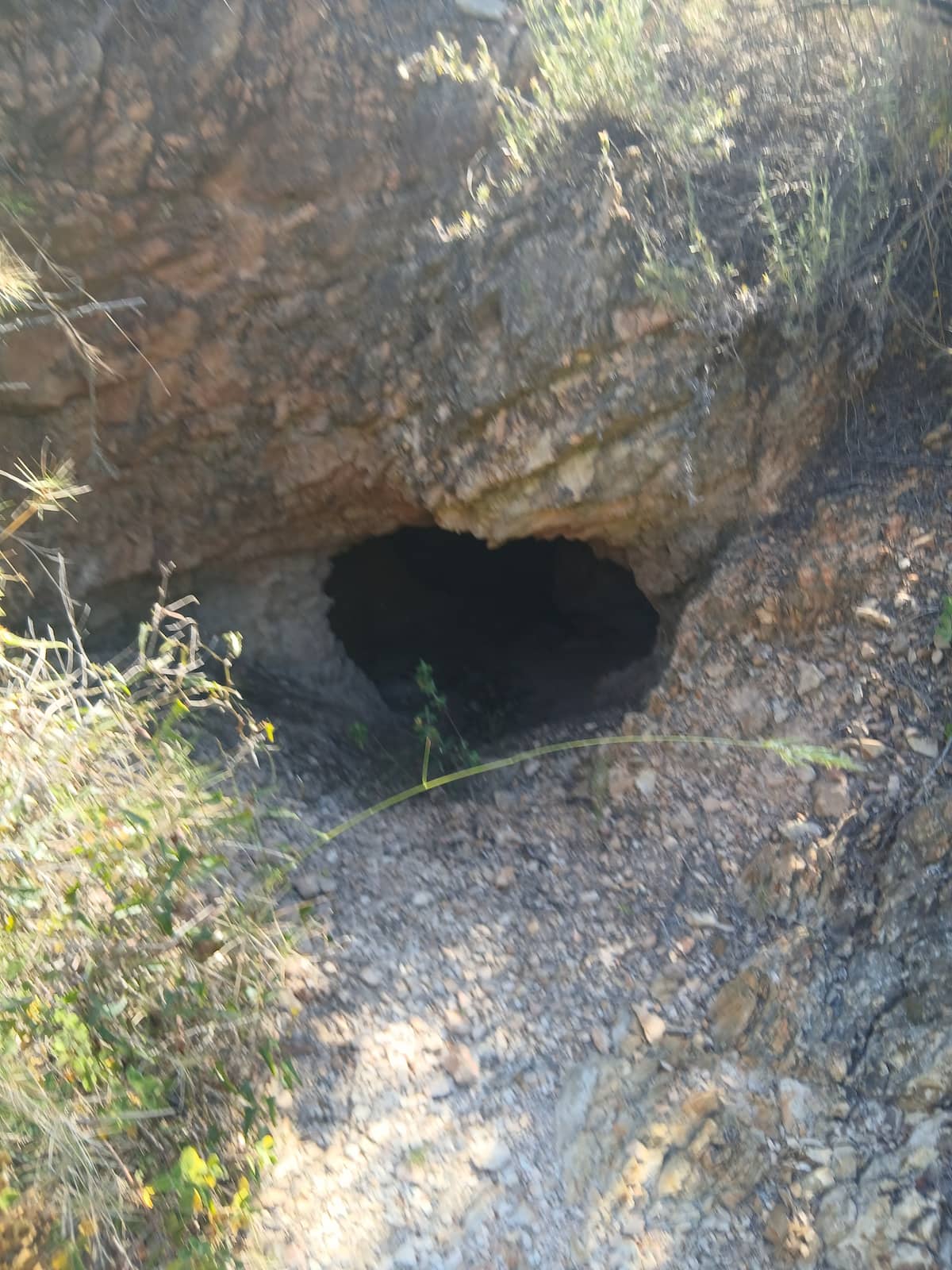
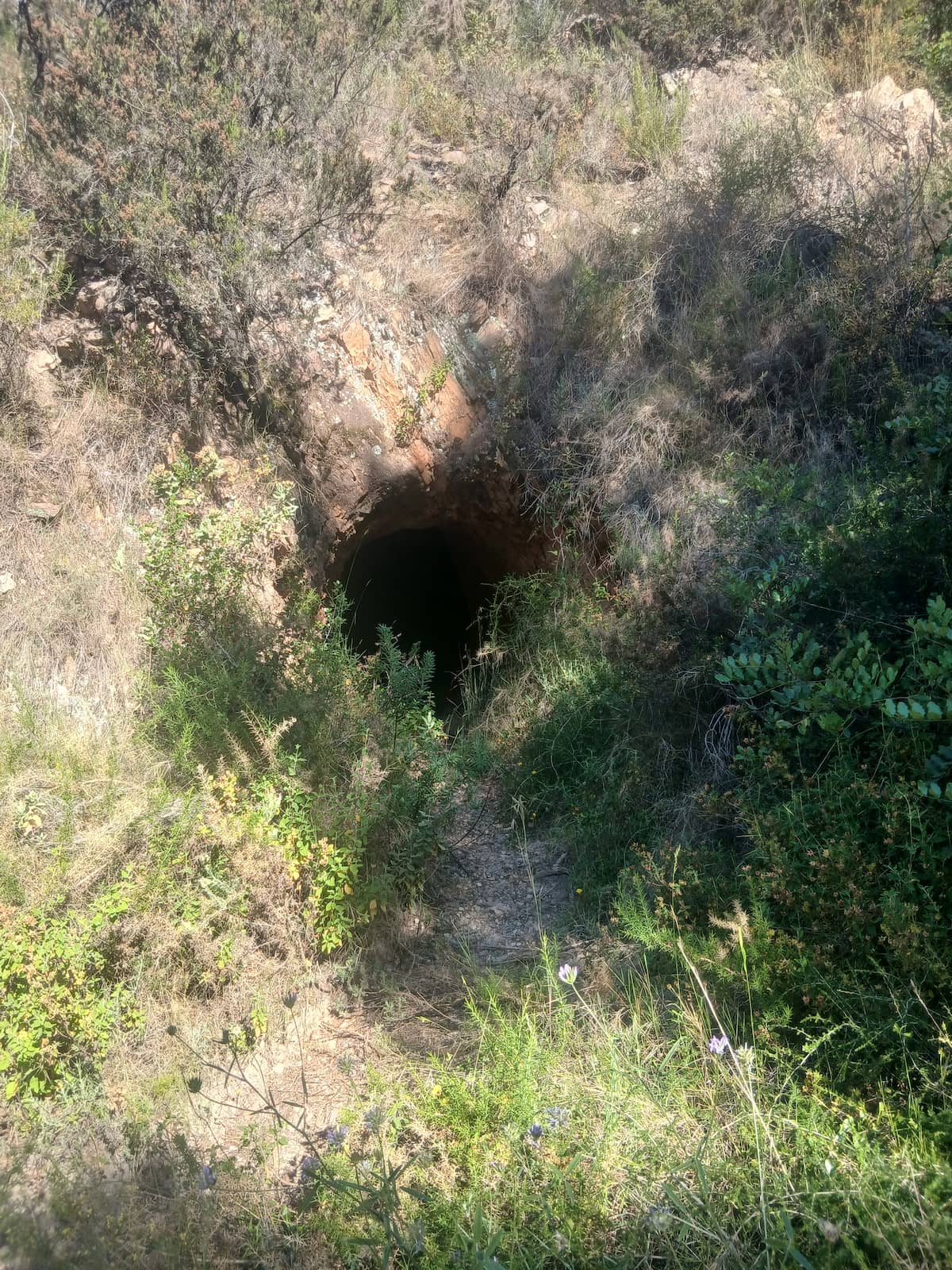
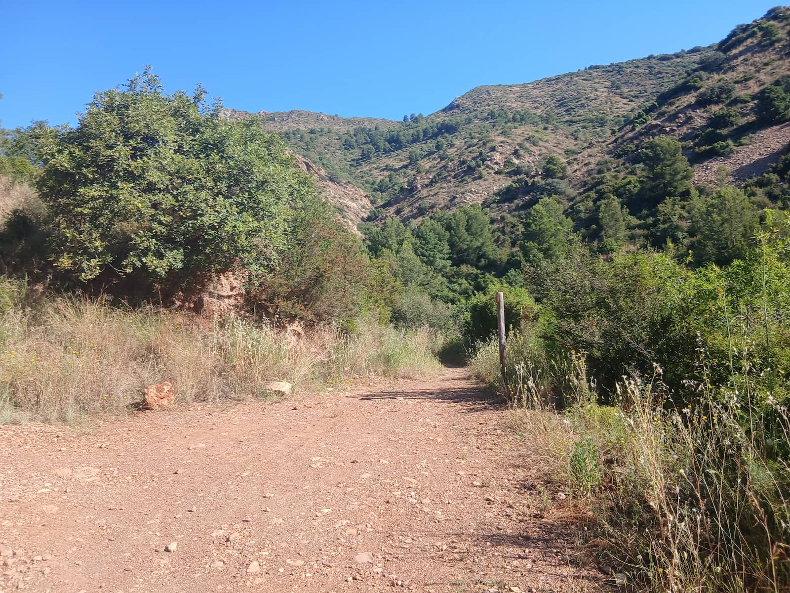
Images of the Corrales de Turmó trail

Rising from the Ashes
Max elevation: 569 m
Min elevation: 119 m
Total climbing: 573 m
Total descent: -574 m
Total time: 01:57:41
We start the route at the Plaza de la Asunción and climb through the streets towards the Barranco del Turmón. Once level with the ravine, we cross part of the town towards the Carbonaire Health Centre, where we take a track that climbs towards El Sumet, leaving on our right the ravine we will later use for the descent.
We climb for about 30 minutes until we reach a small hut with a sign reading «Sumet – Finca de Eduardo Sorribes».
From here we continue along the track for about five more minutes until we reach another fork. There we take an uphill path on our right. This stretch is best tackled patiently, as in little more than half an hour we will cover almost all of the route's elevation gain.
It is a demanding climb, but a very interesting one from a historical point of view, as on the way up we pass several trenches before reaching the summit of El Sumet.
Once at the top, in the Peña Migdia area, we can enjoy privileged views over the Vall d’Uixó, Alfondeguilla and much of the Sierra de Espadán.
We carry on until we reach an area of farmhouses known as the Coll de Aigualit. There we take the downhill track on our right and, about 200 metres further on, leave it to follow a path that runs halfway down the side of the ravine.
This path leads us to the bottom of the ravine and into the Vall Verda area. From there, we simply follow the riverbed until we reach the bridge next to the Carbonaire Health Centre.
From that point, all that remains is to retrace the urban stretch back to the starting point to complete the route.
Images of the Rising from the Ashes trail
Roads of war
Max elevation: 671 m
Min elevation: 105 m
Total climbing: 828 m
Total descent: -792 m
Total time: 04:02:23
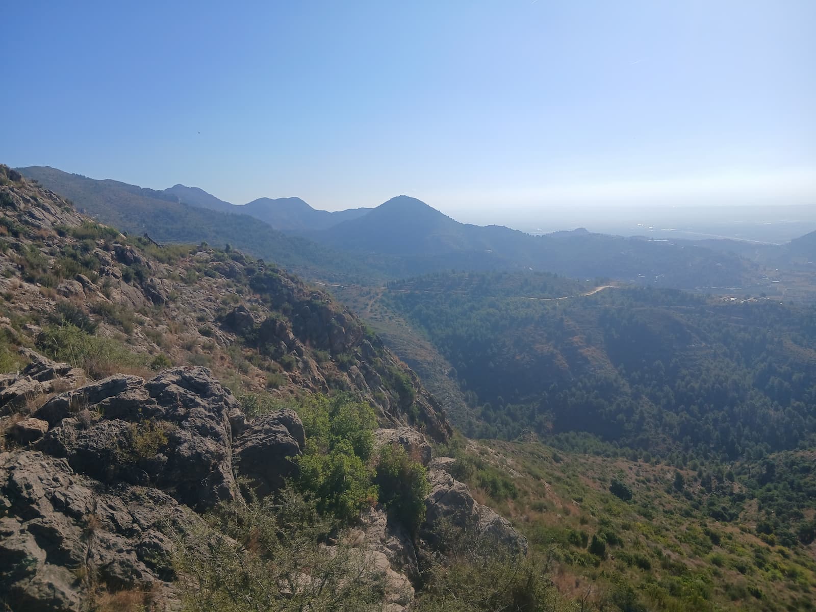
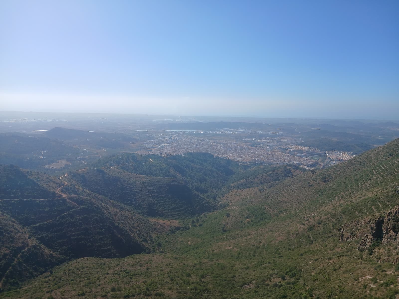
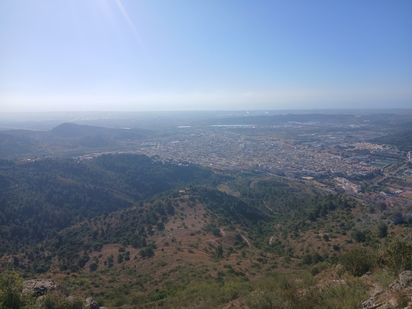
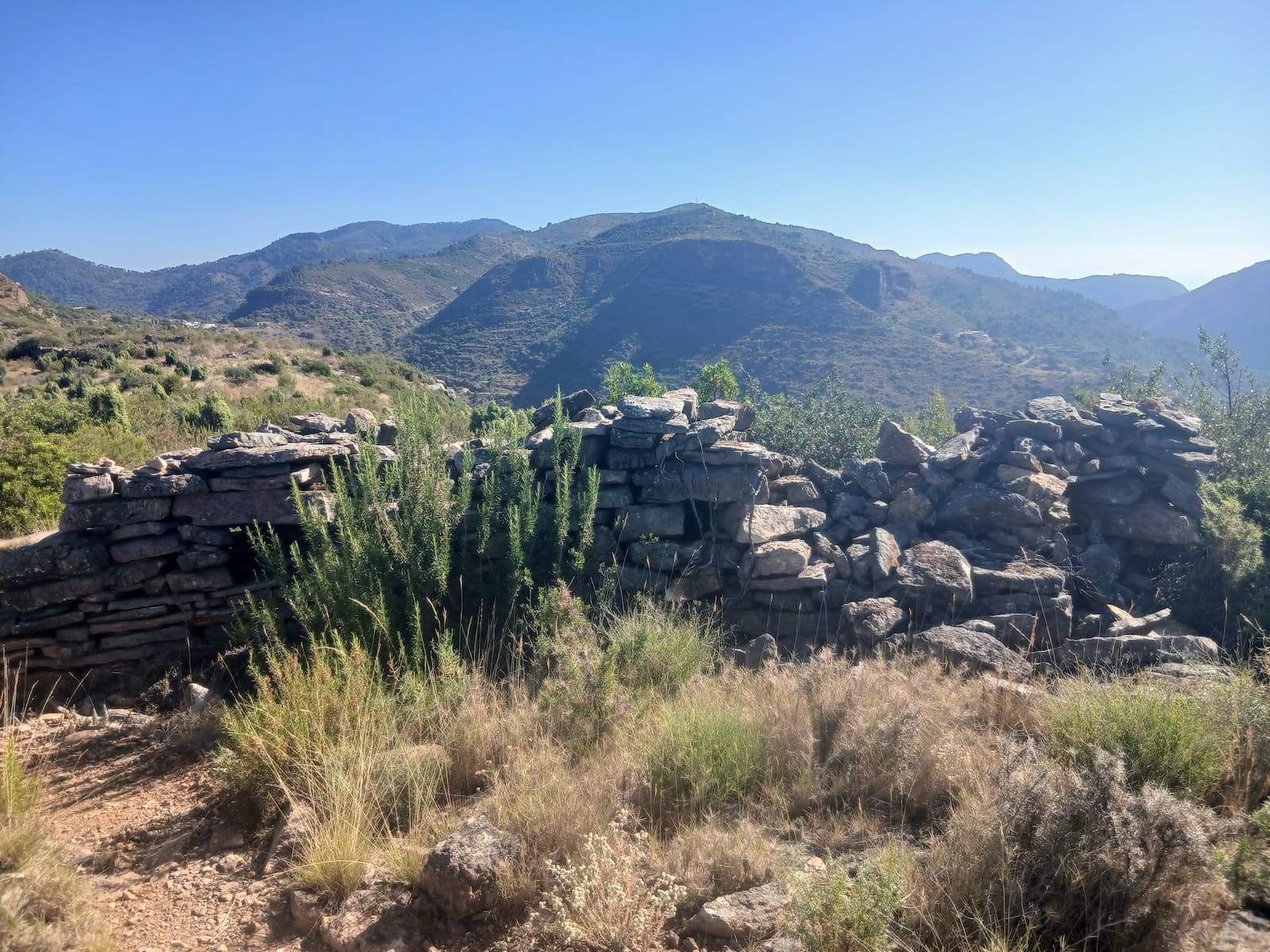
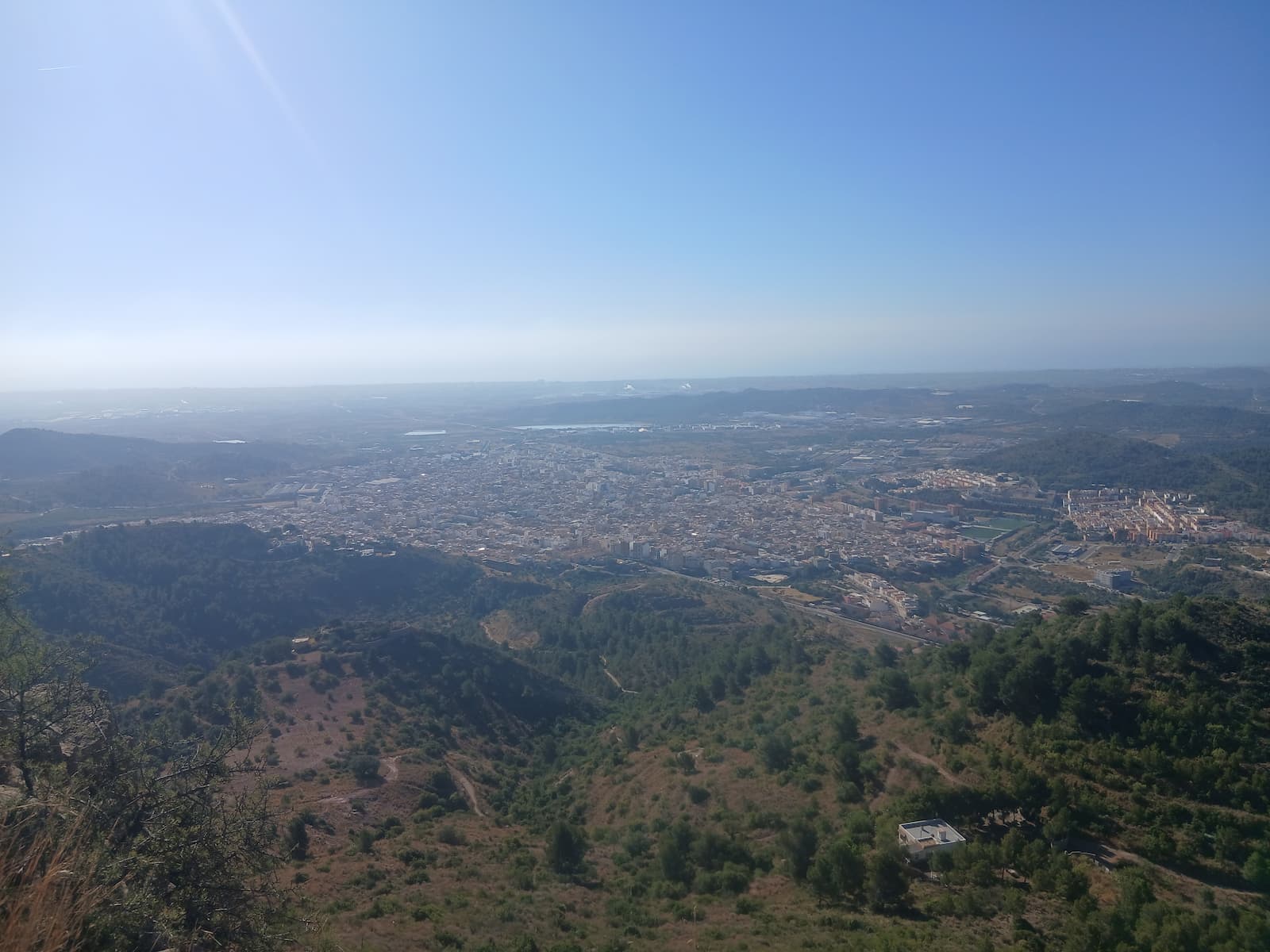
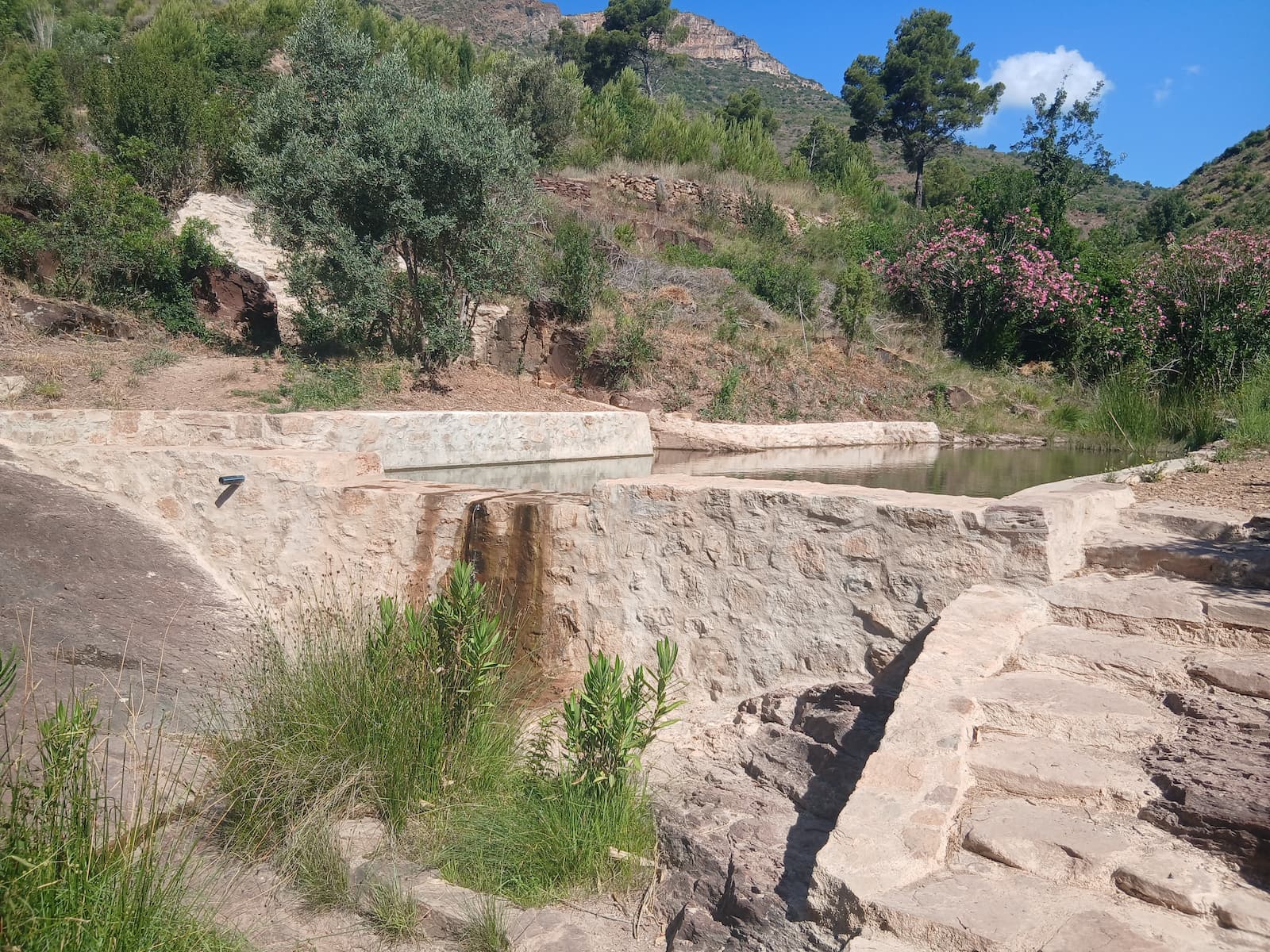
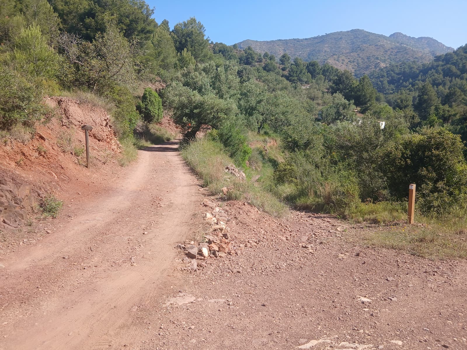
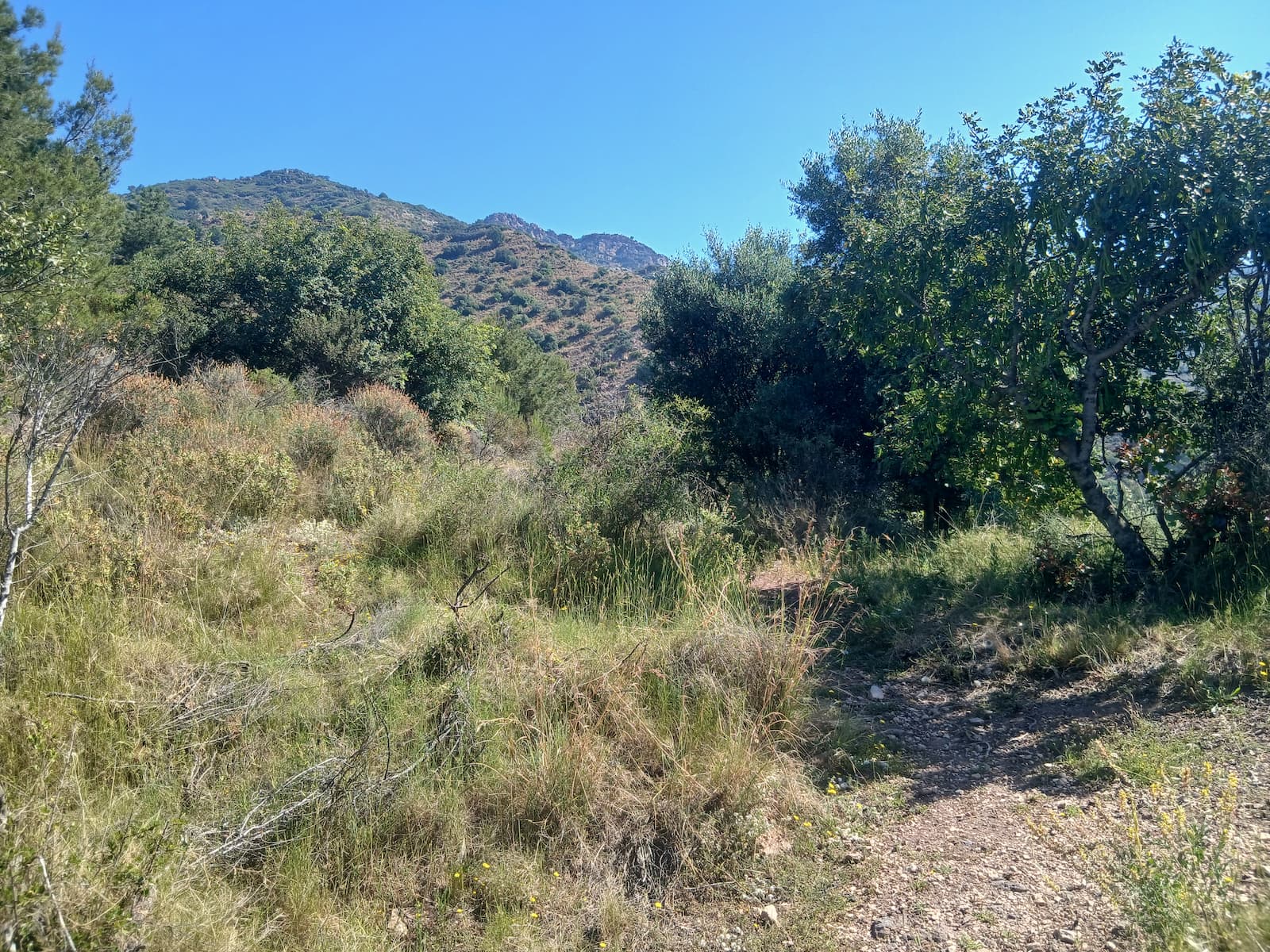
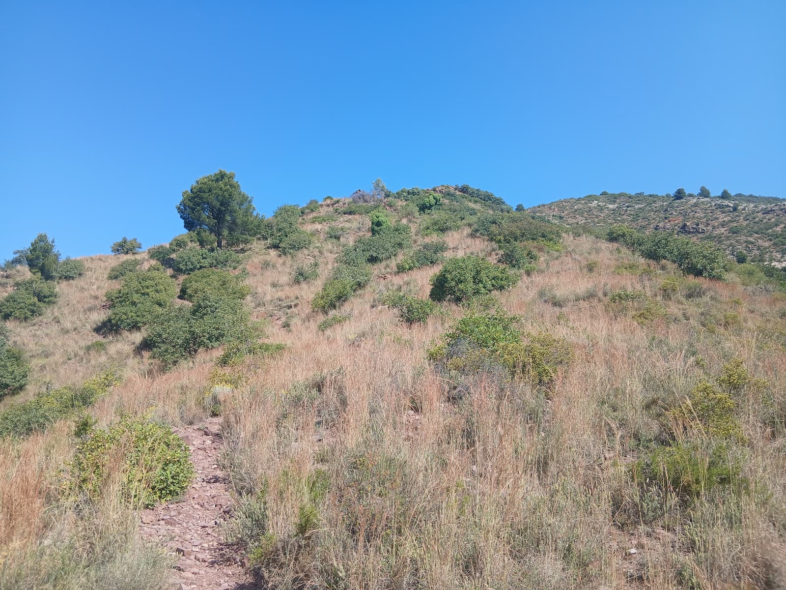
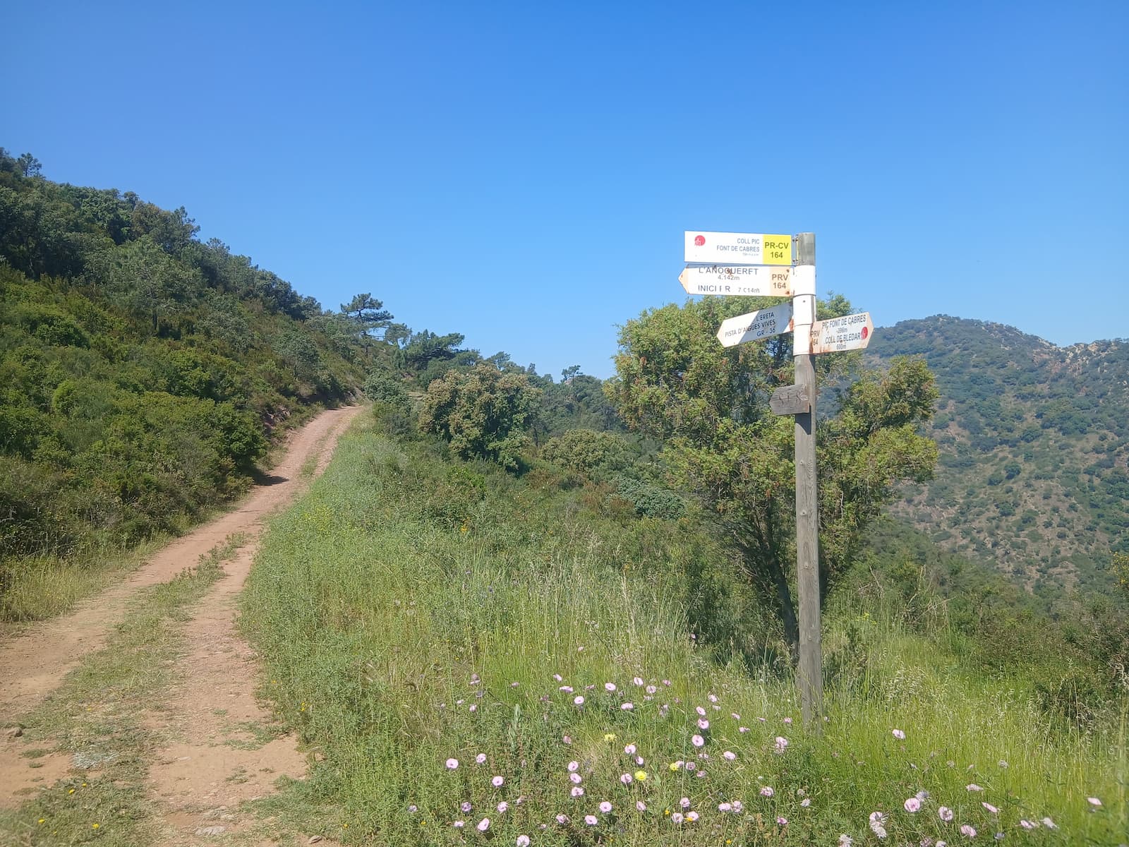
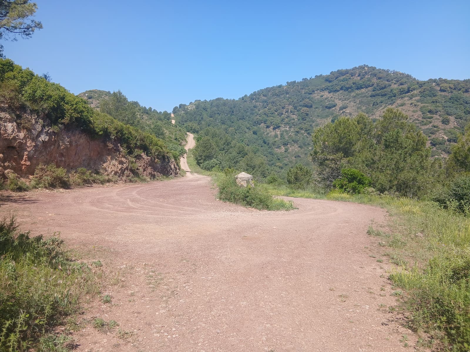
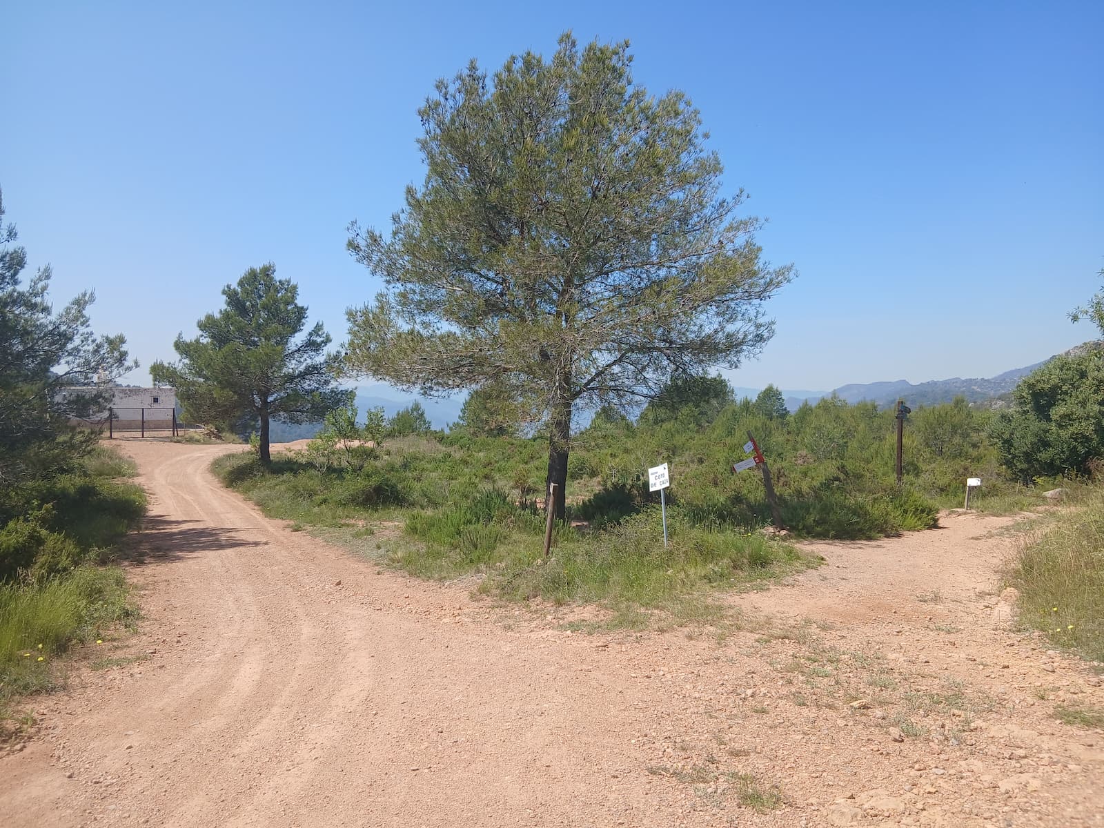
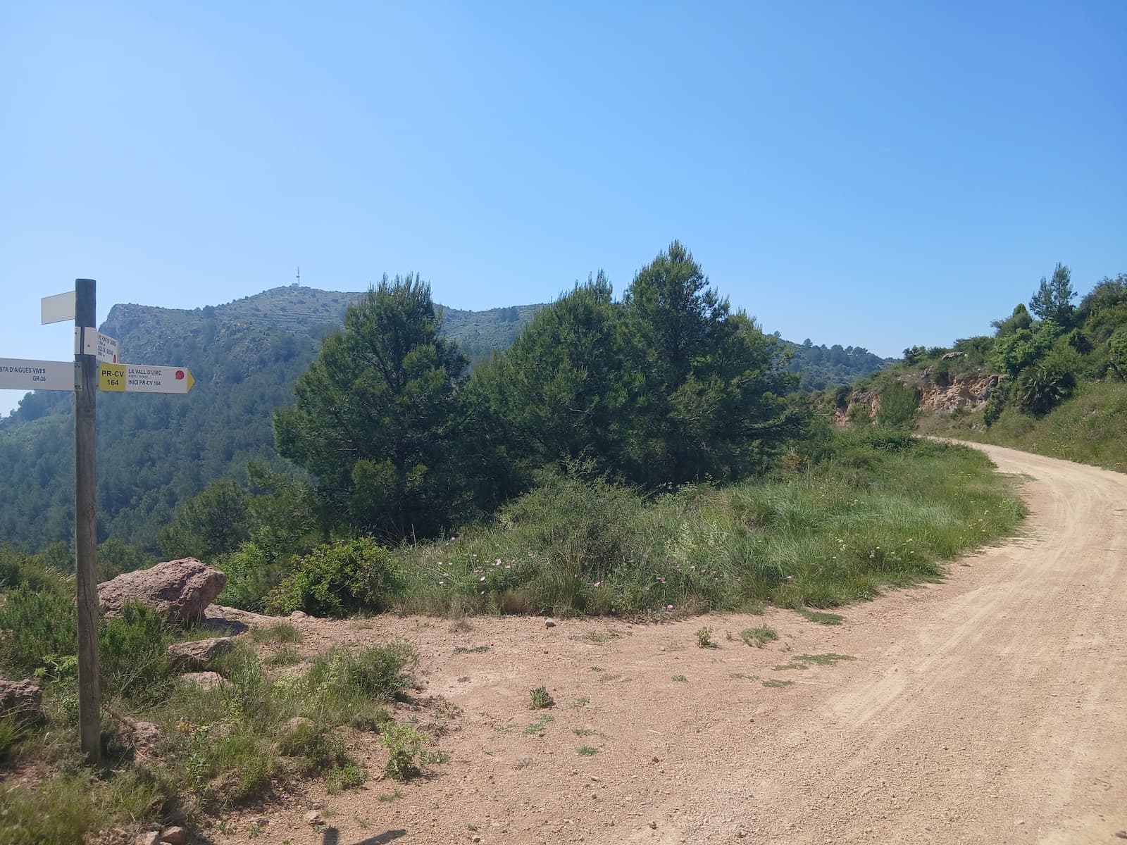
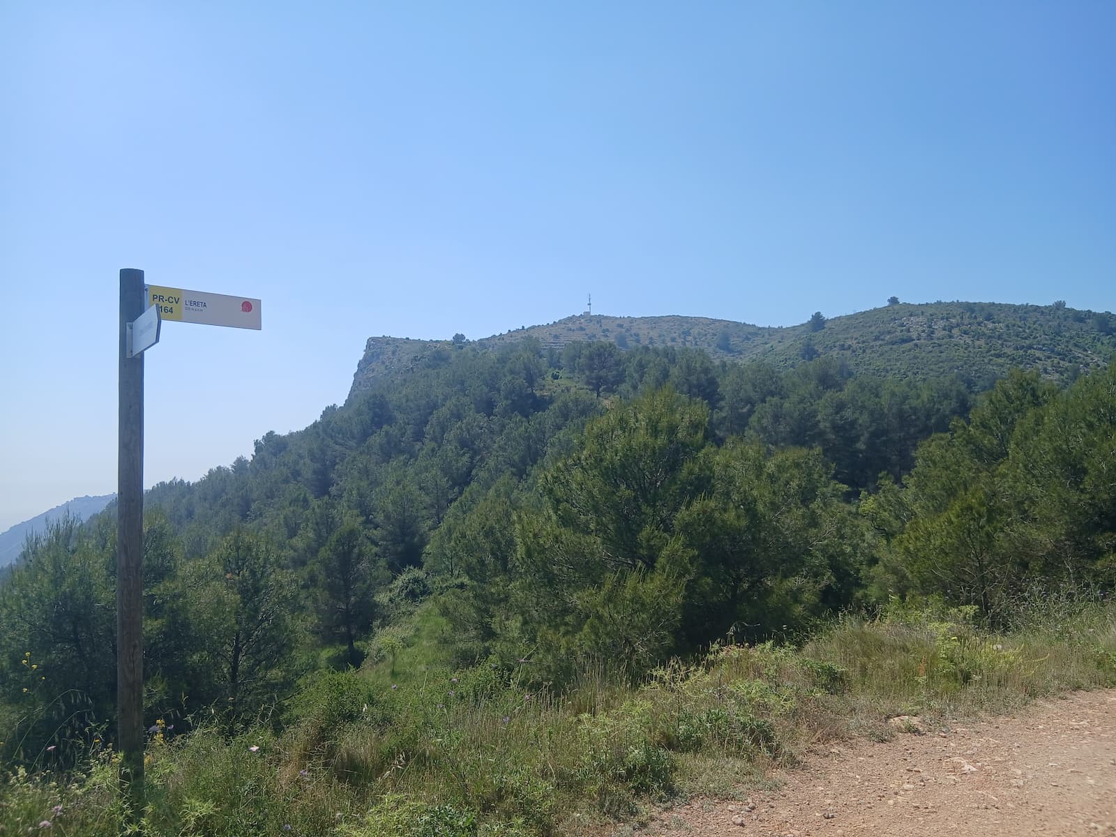
Images of the path Roads of War
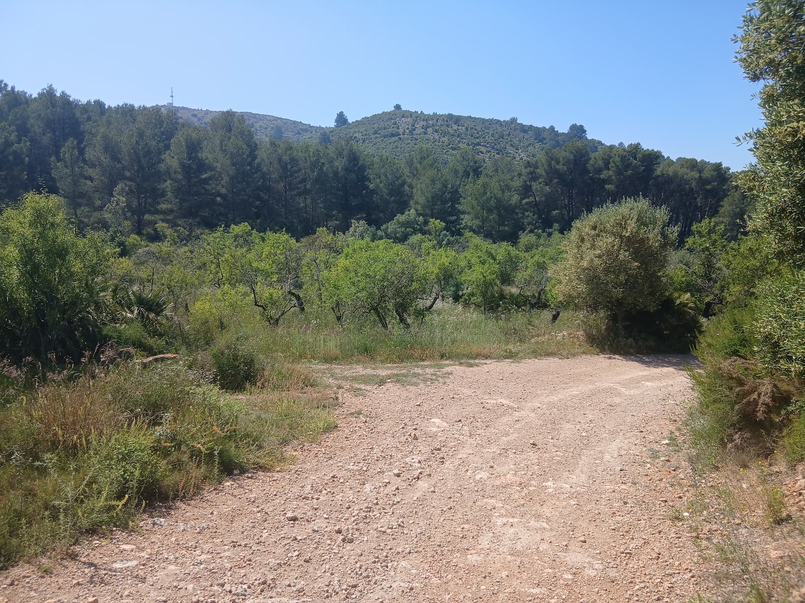
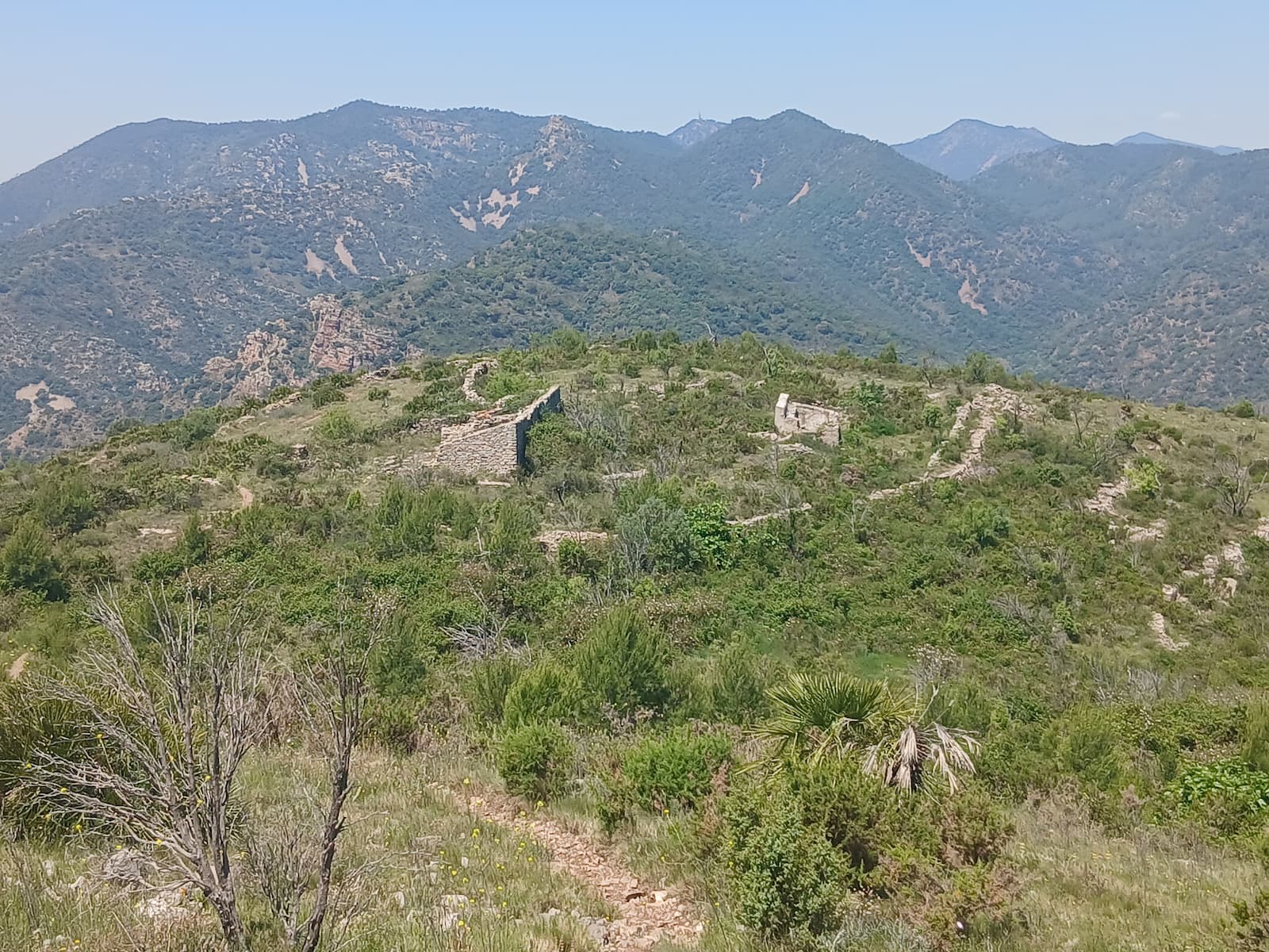
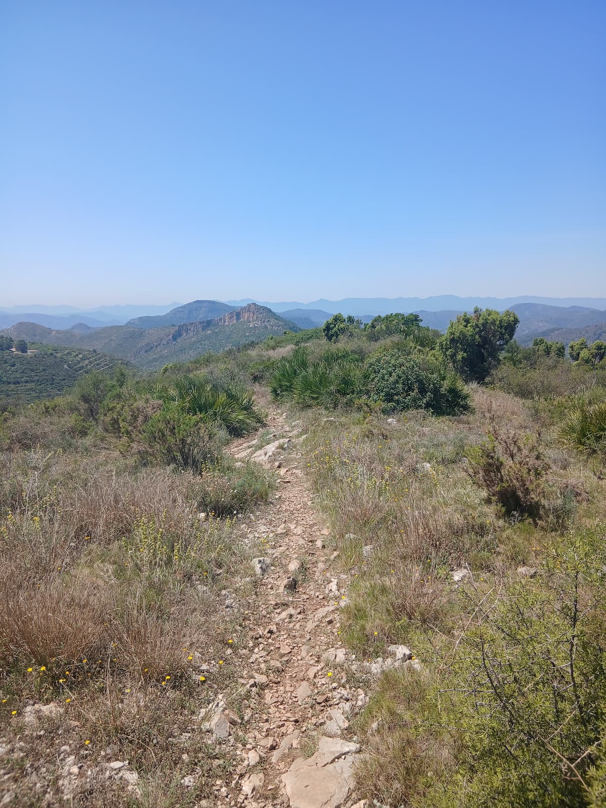
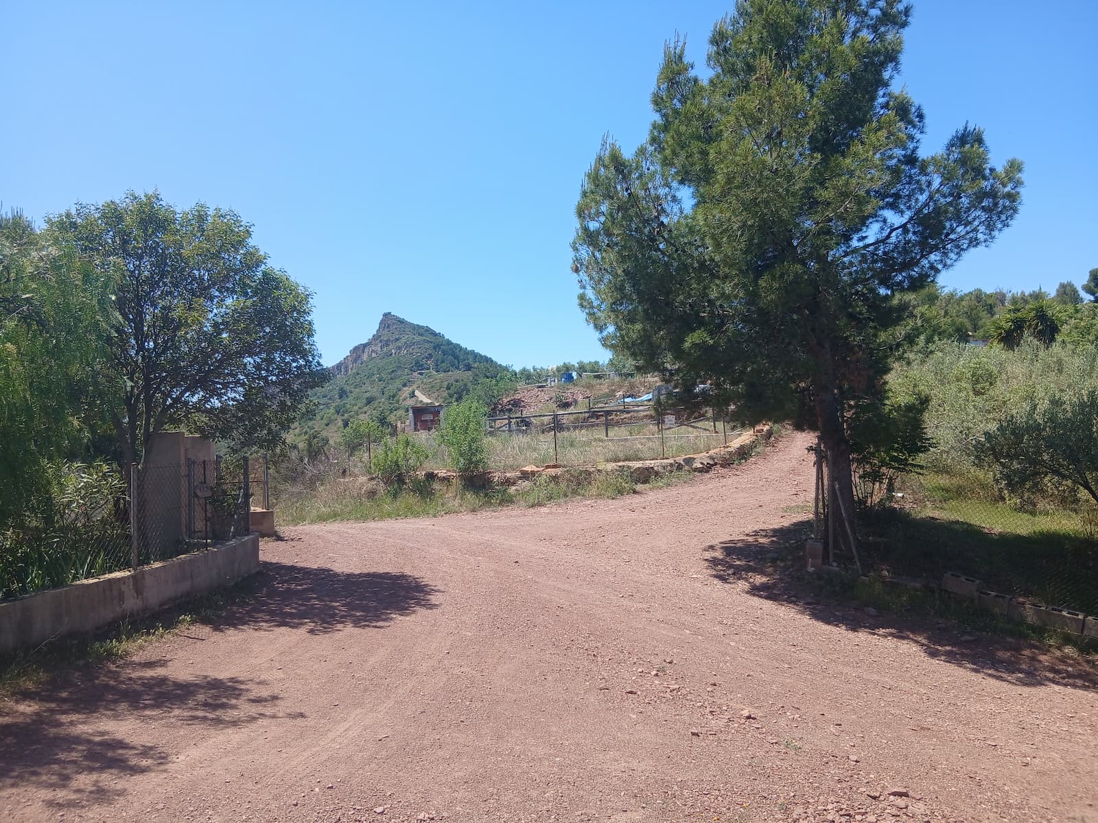
Garrut Circular
Max elevation: 437 m
Min elevation: 95 m
Total climbing: 562 m
Total descent: -538 m
Total time: 03:03:10
This circular route offers an excellent combination of nature, mining heritage, and traditional elements of the rural landscape of La Vall. The itinerary begins at the Plaza de la Asunción and heads towards the Turmón Ravine, initially following a paved track that gives way to a pleasant walk through pine forests and Mediterranean vegetation.
The first notable point of interest is the Estamero Mines, a vestige of the mining activity that formed part of the local economy for decades. Visiting this site allows us to discover an important part of the municipality's history and enjoy a natural setting of great beauty.
After returning to the esplanade next to an old farmhouse, the route continues along an ascending path that leads to the Fronto Cistern (Aljibe de Fronto), a traditional construction meant for water storage and an example of how past generations used natural resources. Although it is currently partially hidden by vegetation, it remains one of the most unique heritage elements on the route.
From this point, we move towards Ereta until we reach the Corral de Turmo, an old livestock structure situated in a quiet and shaded environment, ideal for a stop to enjoy the landscape. Along this section, hikers can take in wide views of the mountains and ravines that characterize the territory.
The return trip is made via the well-known Hunters' path (senda de los Cazadores), a traditional trail that gently descends through pine forests and scrubland, offering new perspectives of the natural surroundings. Finally, the route links up with the Sant de la Pedra track and passes by the emblematic Casota, before returning to the town center.
From there, we will descend via the well-known Hunters' path, a very clear and easy-to-follow trail. We must pay attention halfway down the descent, as we will find several side trails that we should ignore until we reach the track that goes up towards Sant de la Pedra.
This is a route of moderate difficulty, recommended for hikers accustomed to walking on mountain trails. Its combination of landscapes, historical heritage, and ethnographic elements makes it one of the most complete options for discovering the natural and cultural wealth of La Vall.
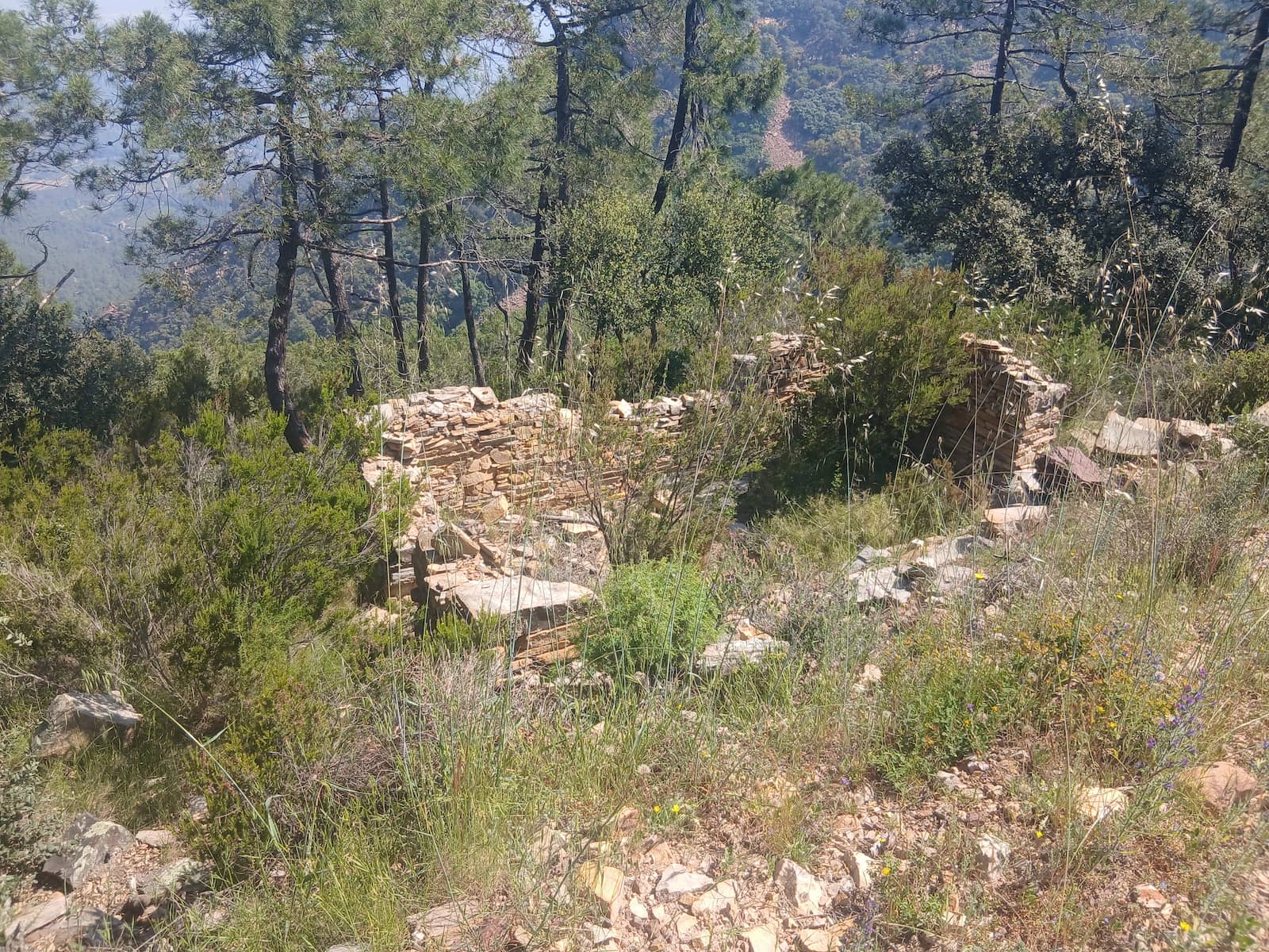
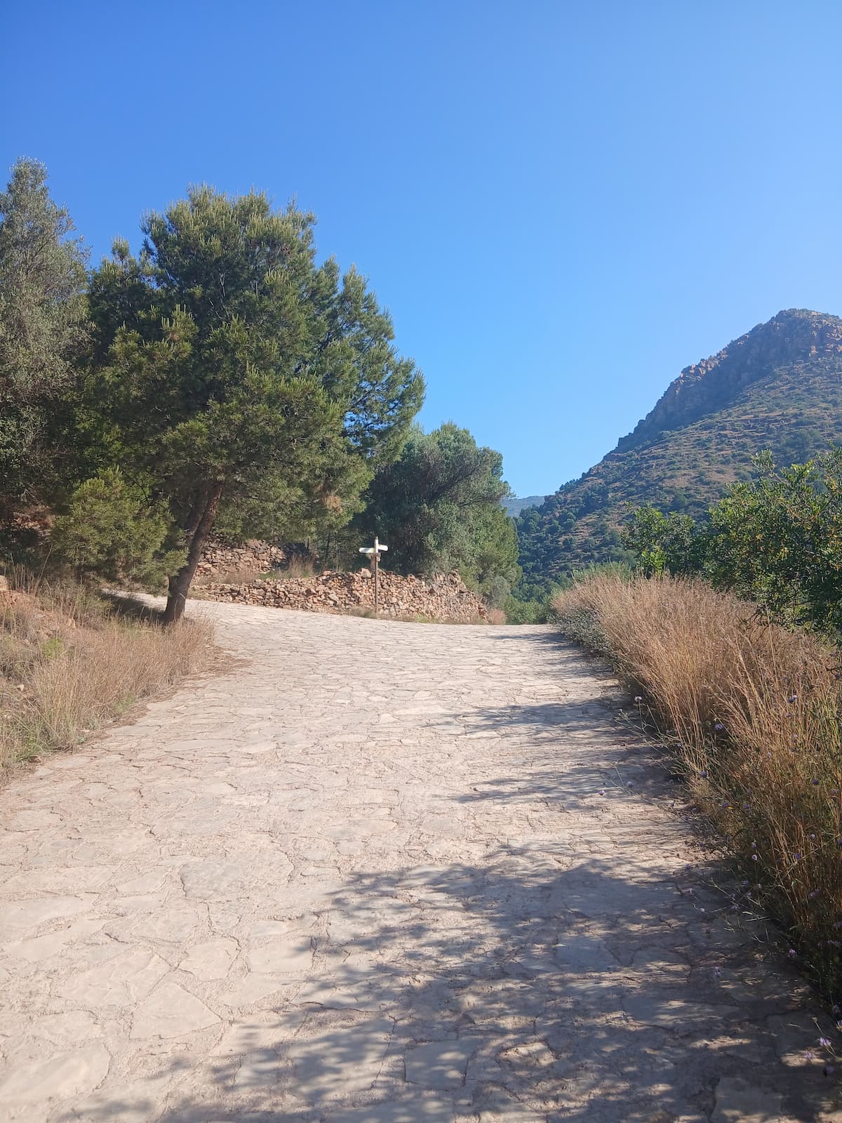
Images of the Garrut Circular Trail
Moorish Orchards
Max elevation: 501 m
Min elevation: 126 m
Total climbing: 2056 m
Total descent: -2056 m
Total time: 00:22:27
Moorish Orchards is a route through one of the most representative cultural landscapes of the Vall d’Uixó, where water, farming and history have shaped the land over the centuries. The trail runs between fields, irrigation channels and traditional paths that preserve the essence of the old orchards of Andalusi origin.
Along the way, walkers discover a unique agricultural heritage, closely linked to the use of water and to irrigation systems that are still part of the Vall’s identity today. An ideal route for a peaceful walk through nature and heritage, discovering a living landscape that preserves the memory of the generations who have worked it for centuries.
Penyalva i Sant de la pedra
Max elevation: 637 m
Min elevation: 5 m
Total climbing: 955 m
Total descent: -833 m
Total time: 03:47:41
Penyalba y Sants de la Pedra es una ruta que combina naturaleza, patrimonio y tradición, recorriendo algunos de los parajes más emblemáticos de la Vall d’Uixó. El itinerario asciende hasta Penyalba, un excelente mirador natural desde donde se contemplan amplias panorámicas de la Vall, la Sierra de Espadán y la Plana, para continuar hasta la ermita dels Sants de la Pedra, un espacio estrechamente vinculado a la historia y las tradiciones del municipio.
A lo largo del recorrido, el senderista atraviesa un paisaje mediterráneo de gran belleza, entre pinares, sendas y antiguas zonas de cultivo, descubriendo un entorno donde la naturaleza y el patrimonio conviven en perfecta armonía. Una ruta ideal para disfrutar de la montaña, conocer uno de los enclaves más queridos por los vallers y adentrarse en las tradiciones que forman parte de la identidad de la Vall d’Uixó.
Imágenes de la senda de Penyalva i Sant de la pedra
Pipa
Max elevation: 579 m
Min elevation: 130 m
Total climbing: 474 m
Total descent: -466 m
Total time: 01:53:43
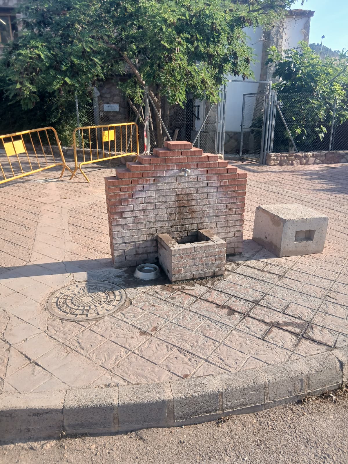
We start our route at the tourist information point of les Coves de Sant Josep, where we will find a nearby fountain to refill water before starting our walk.
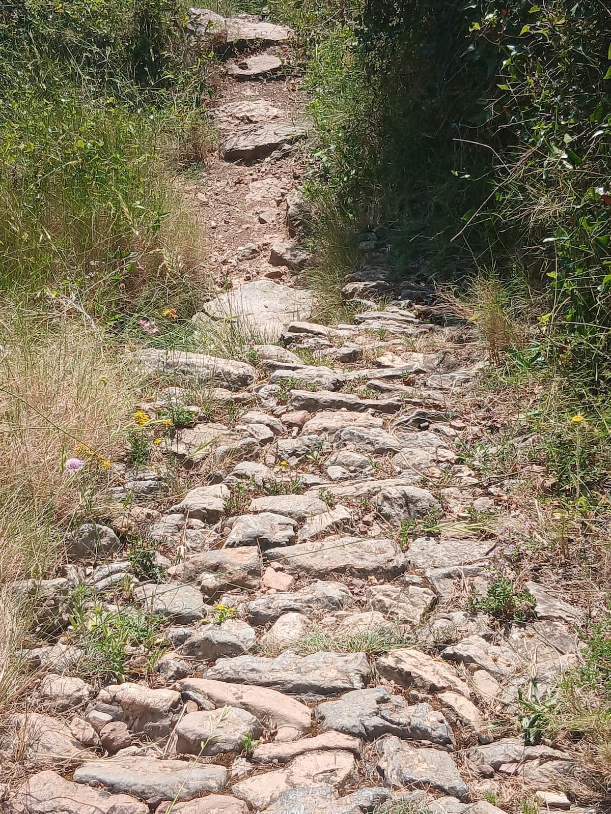
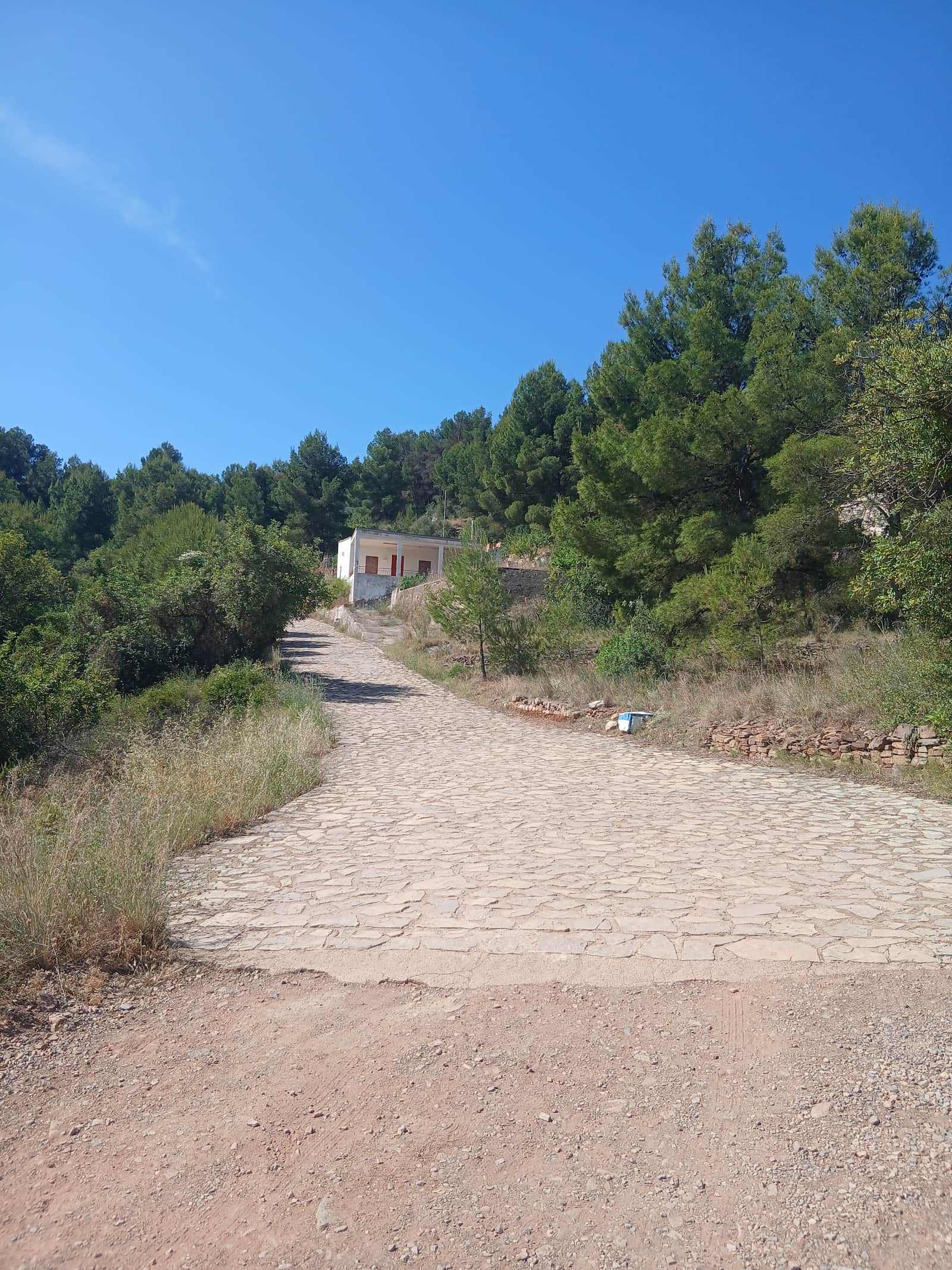
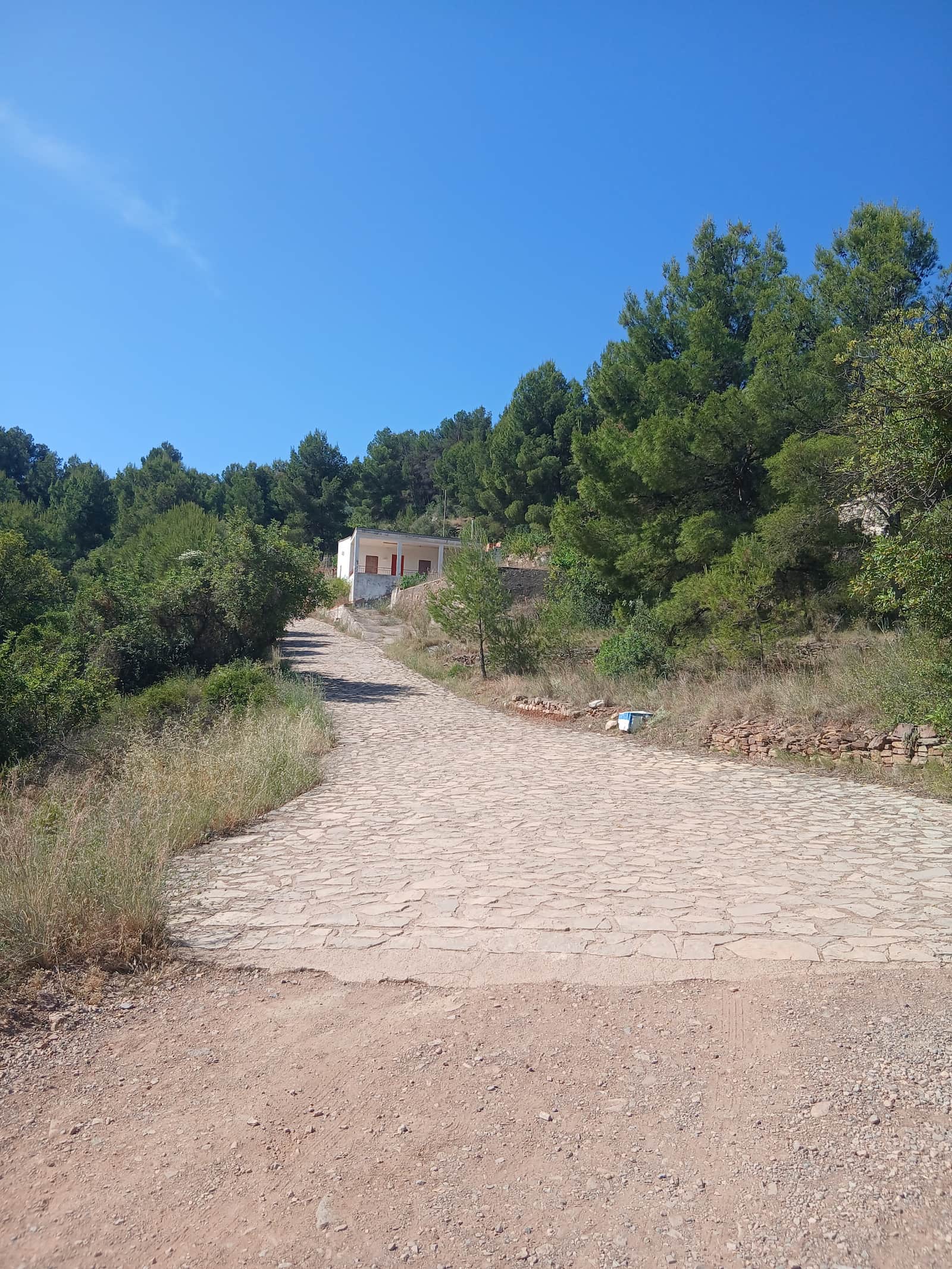
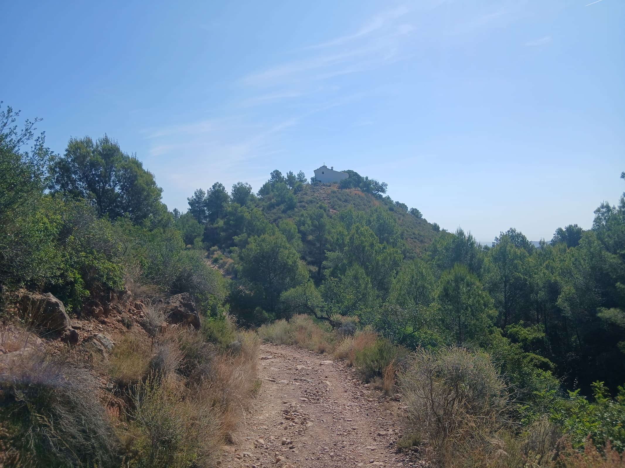
From the office, we head towards the bridge that crosses the Sant Josep Ravine. As soon as we cross it, we take the cobbled slope where the PR-CV 241 trail runs. We follow this marked trail until we reach a crossroads, where we leave the Sant Antoni Hermitage behind us to continue ascending towards the Penya Creus mountain pass.
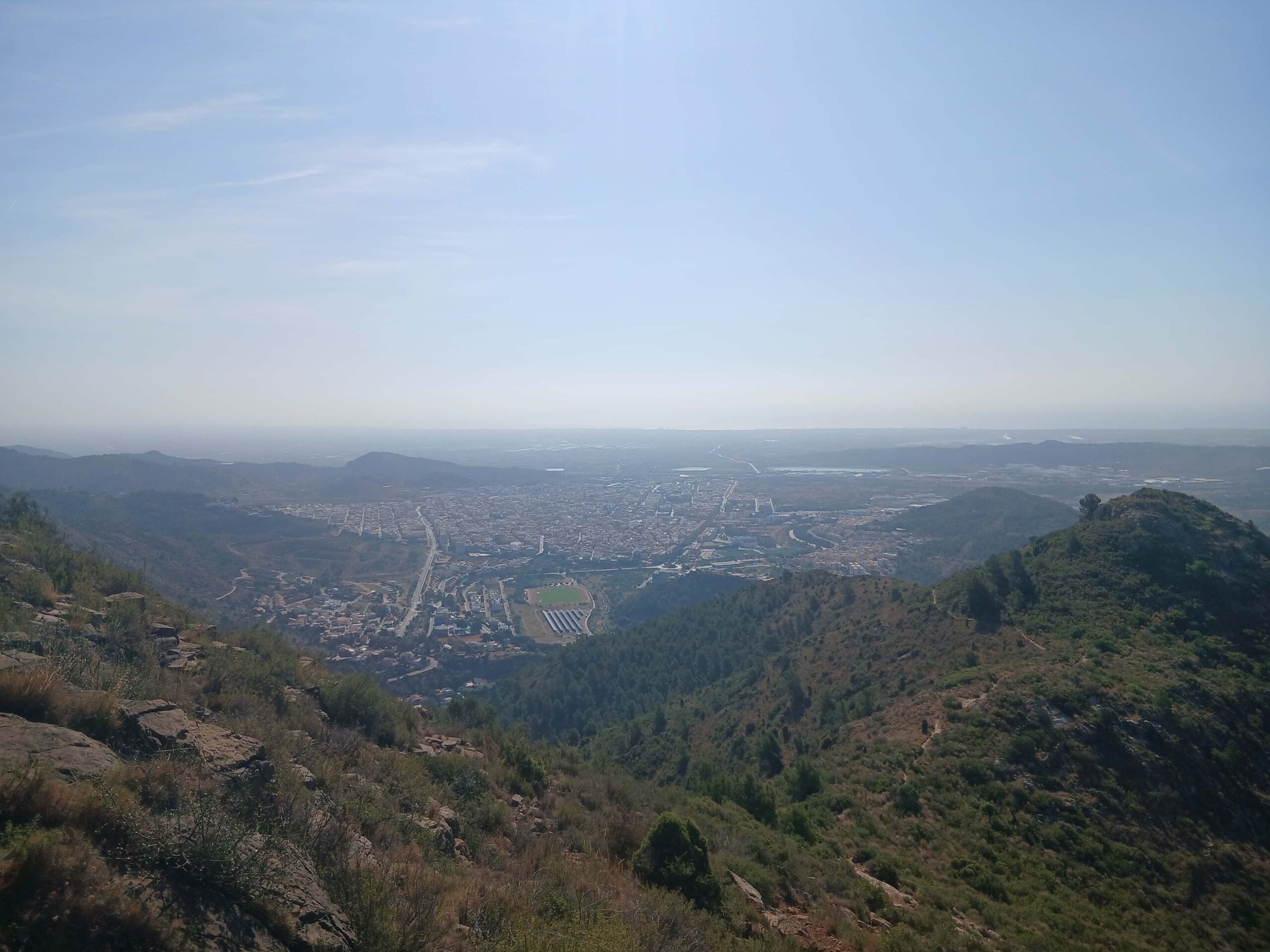
Once at the pass, we take the right fork towards La Balona. From this point on, we will walk steadily along the ridge, enjoying sweeping views over the town of la Vall d'Uixó. We must follow the entire ridge line, leaving the Balona peak on our left.
After passing the Balona peak, we can clearly spot the Falso Pipa and, behind it, the Pipa, our main objective.
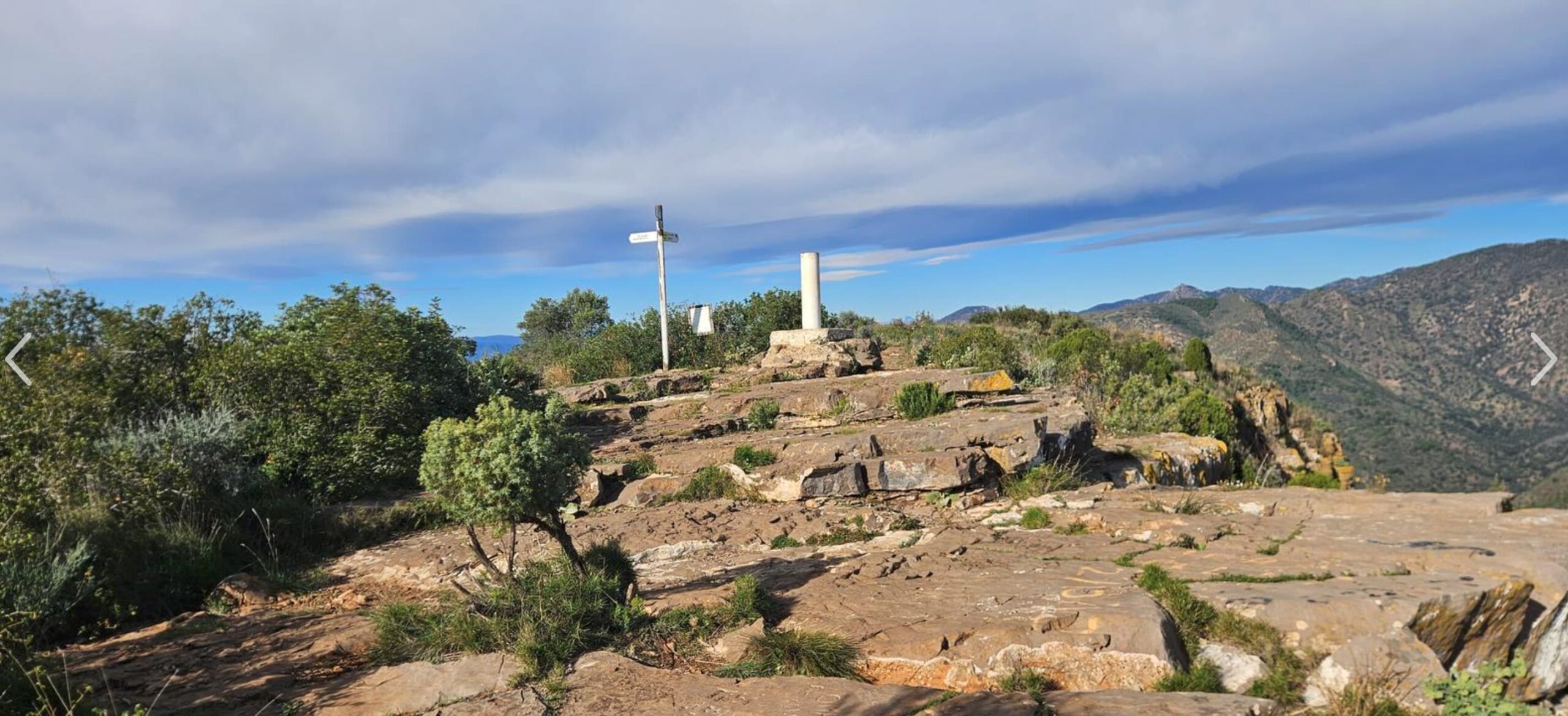
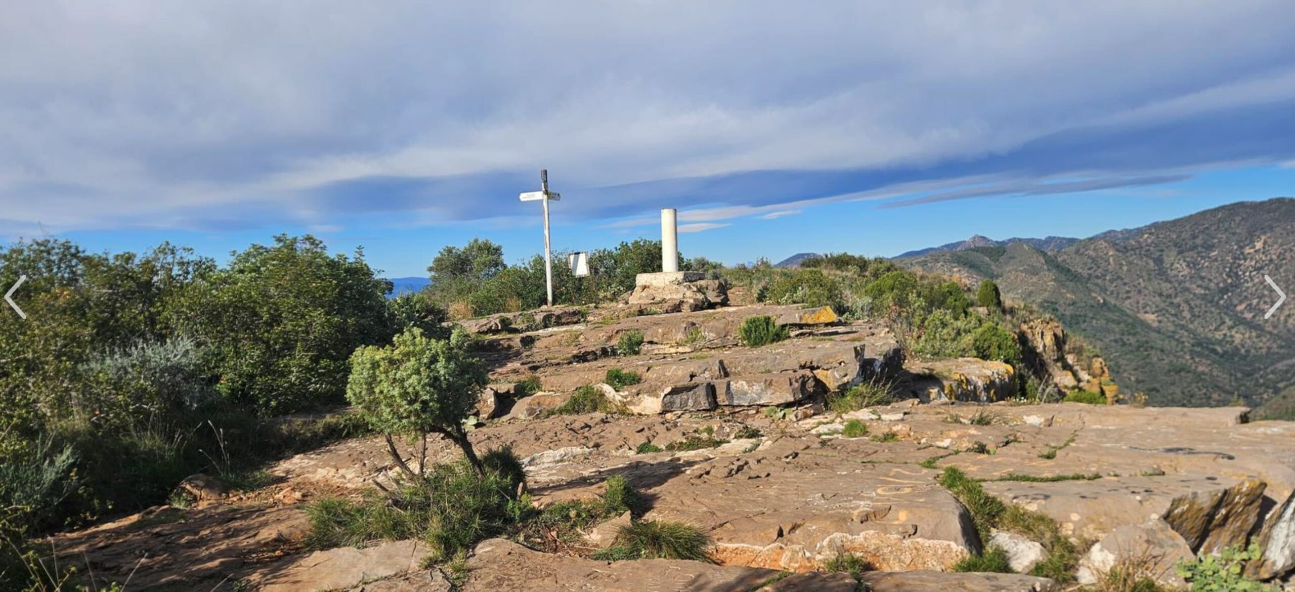
We continue following the PR trail along the top of the mountain range, crossing an interesting area of trenches. In approximately 15 minutes, we will reach the Pipa peak, a spectacular natural vantage point with 360-degree panoramic views.
From the summit, we can see:
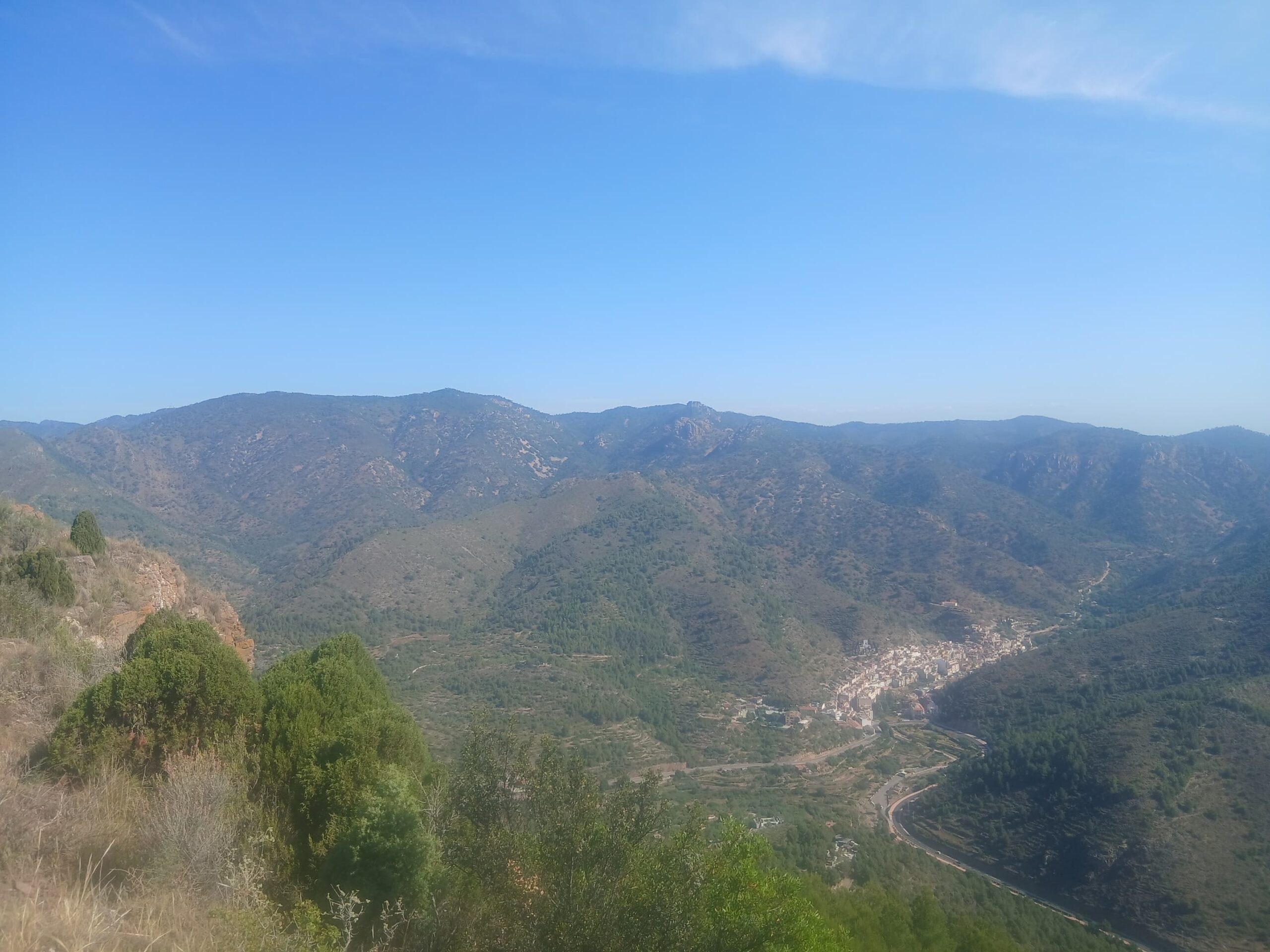
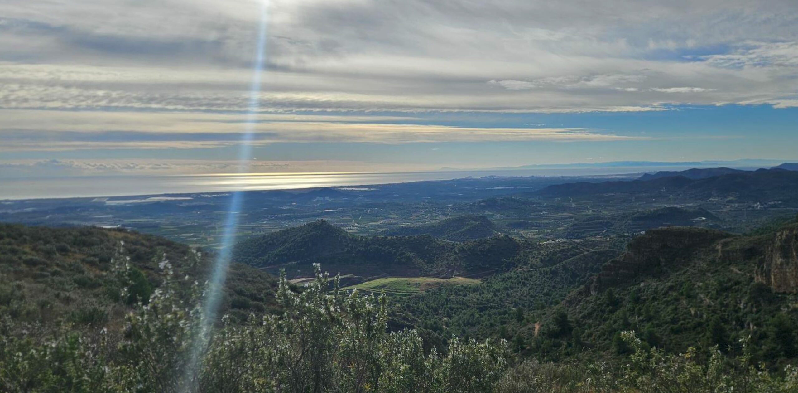
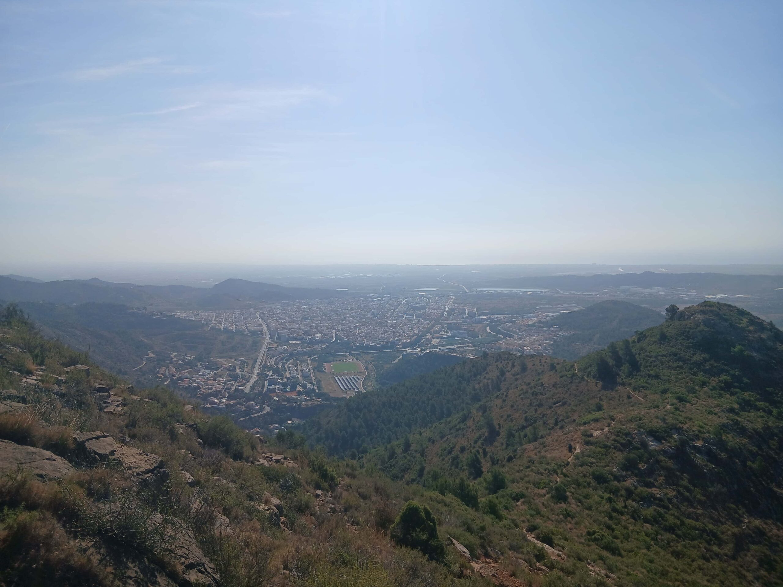
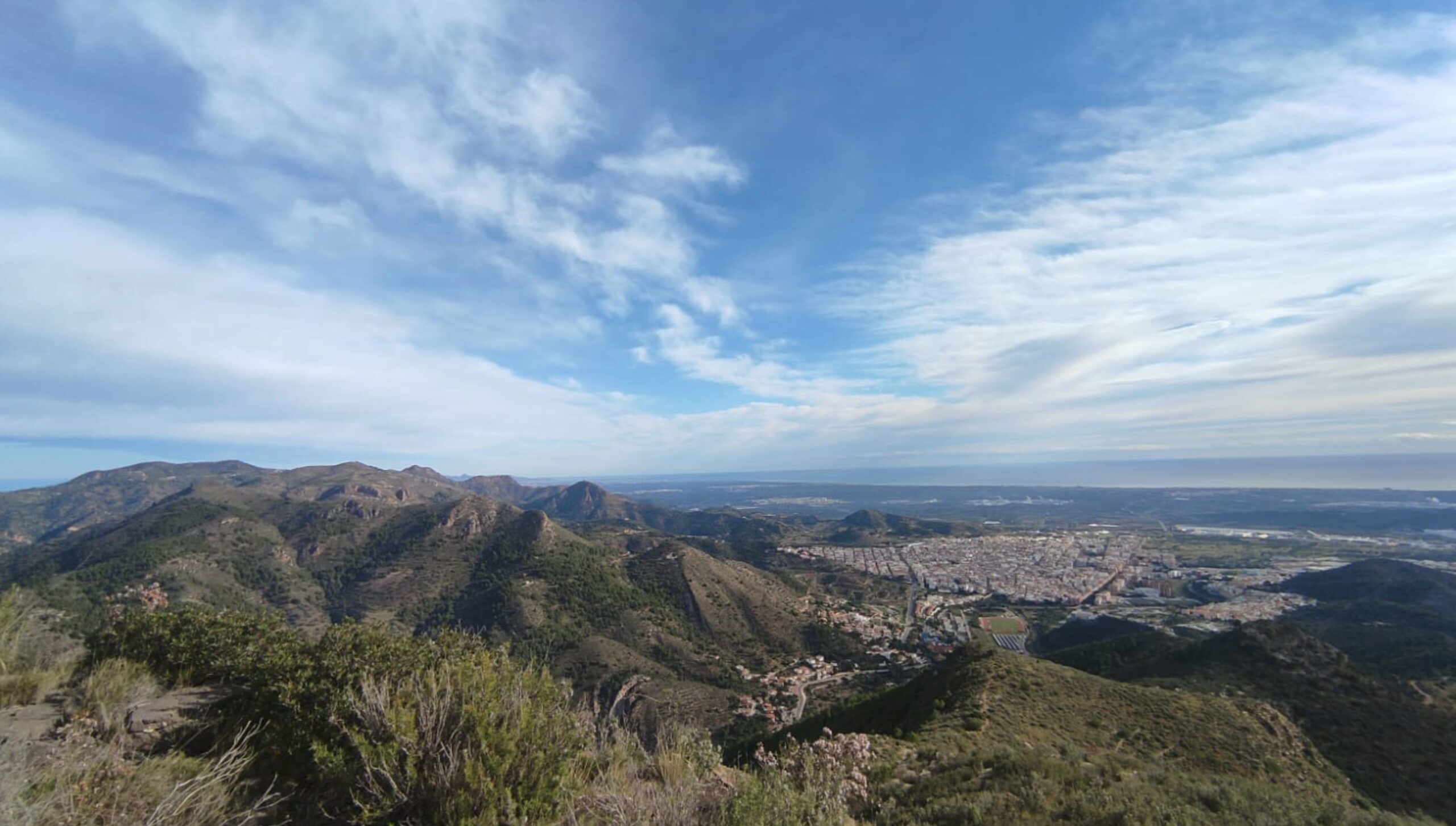
- To the east, the town of la Vall d'Uixó and the Mediterranean coast.
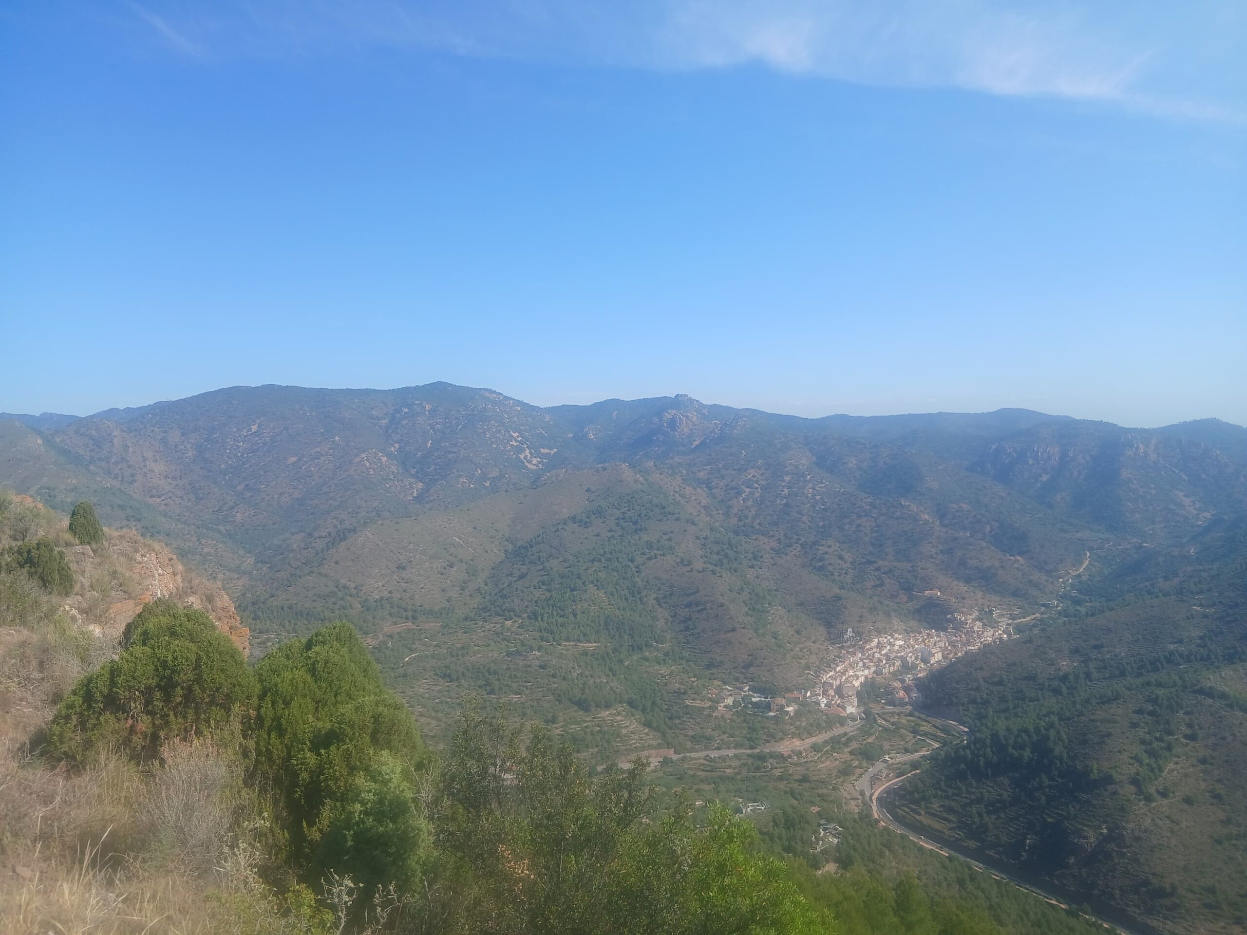
- To the north, the town of Alfondeguilla.
- To the west, a large part of the Sierra de Espadán.
After enjoying the views and a well-deserved rest, we start our return journey by retracing our steps back to La Balona. This time, we will go around the peak on the opposite side to return to the Penya Creus mountain pass.
From there, all we have to do is descend via the same PR-CV 241 route we used on the way up, until we return to the starting point of the hike at les Coves de Sant Josep.
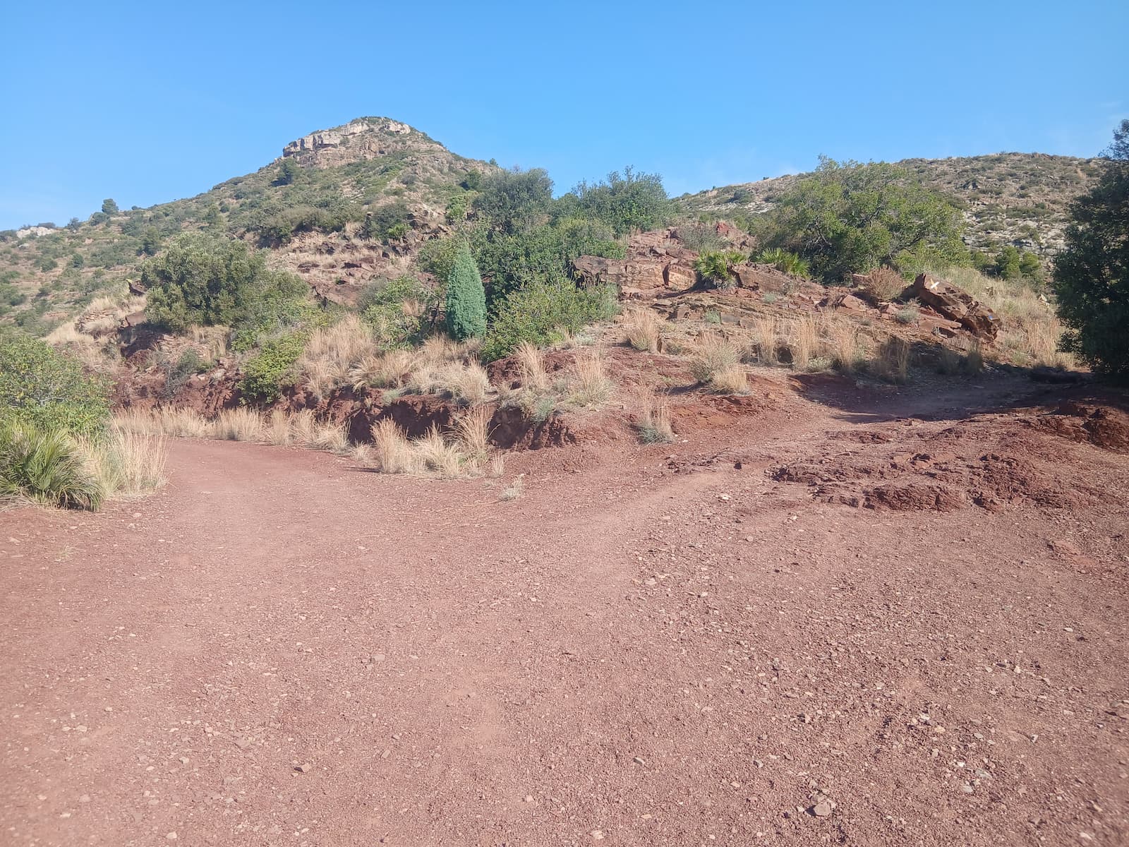
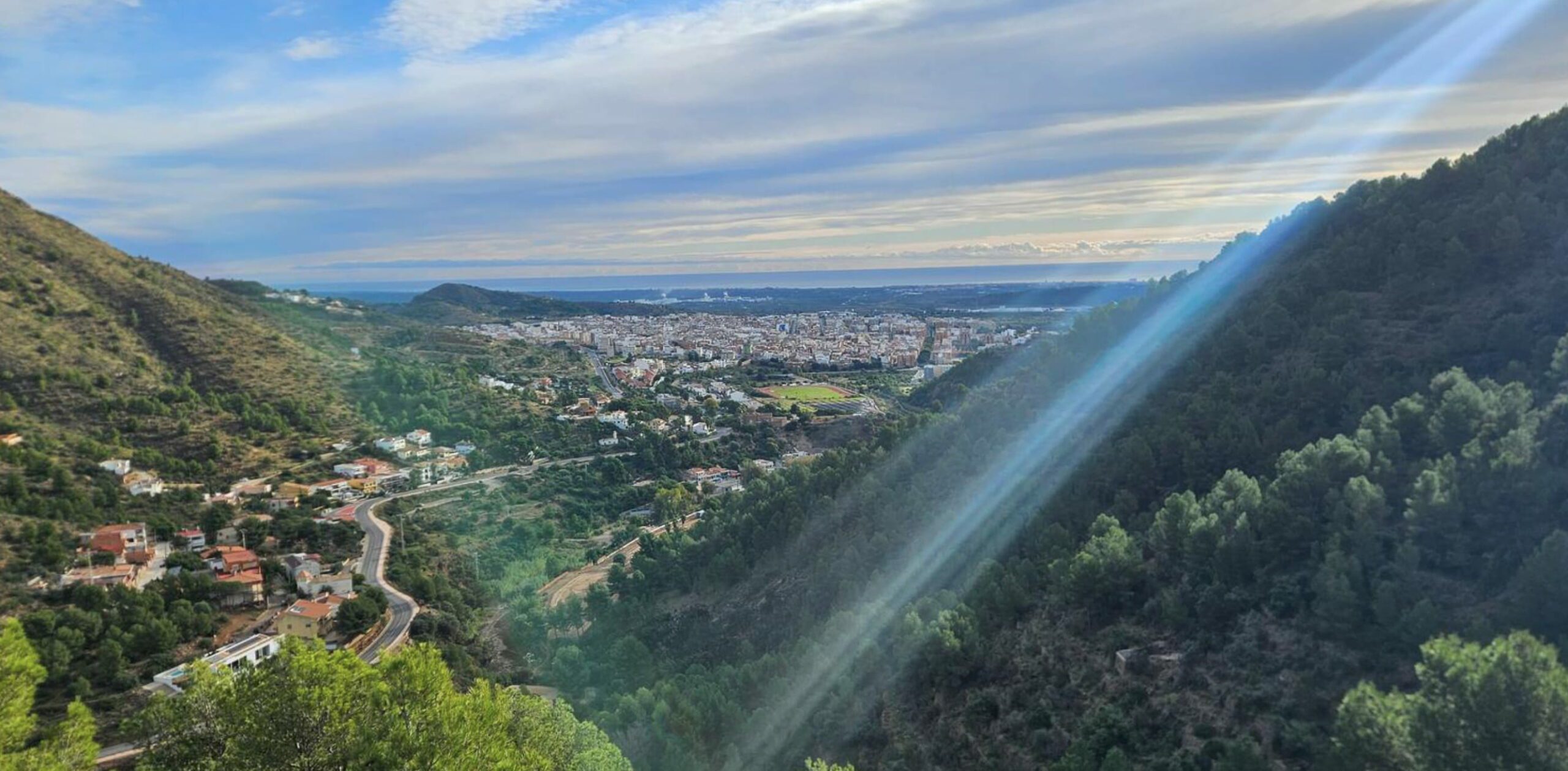
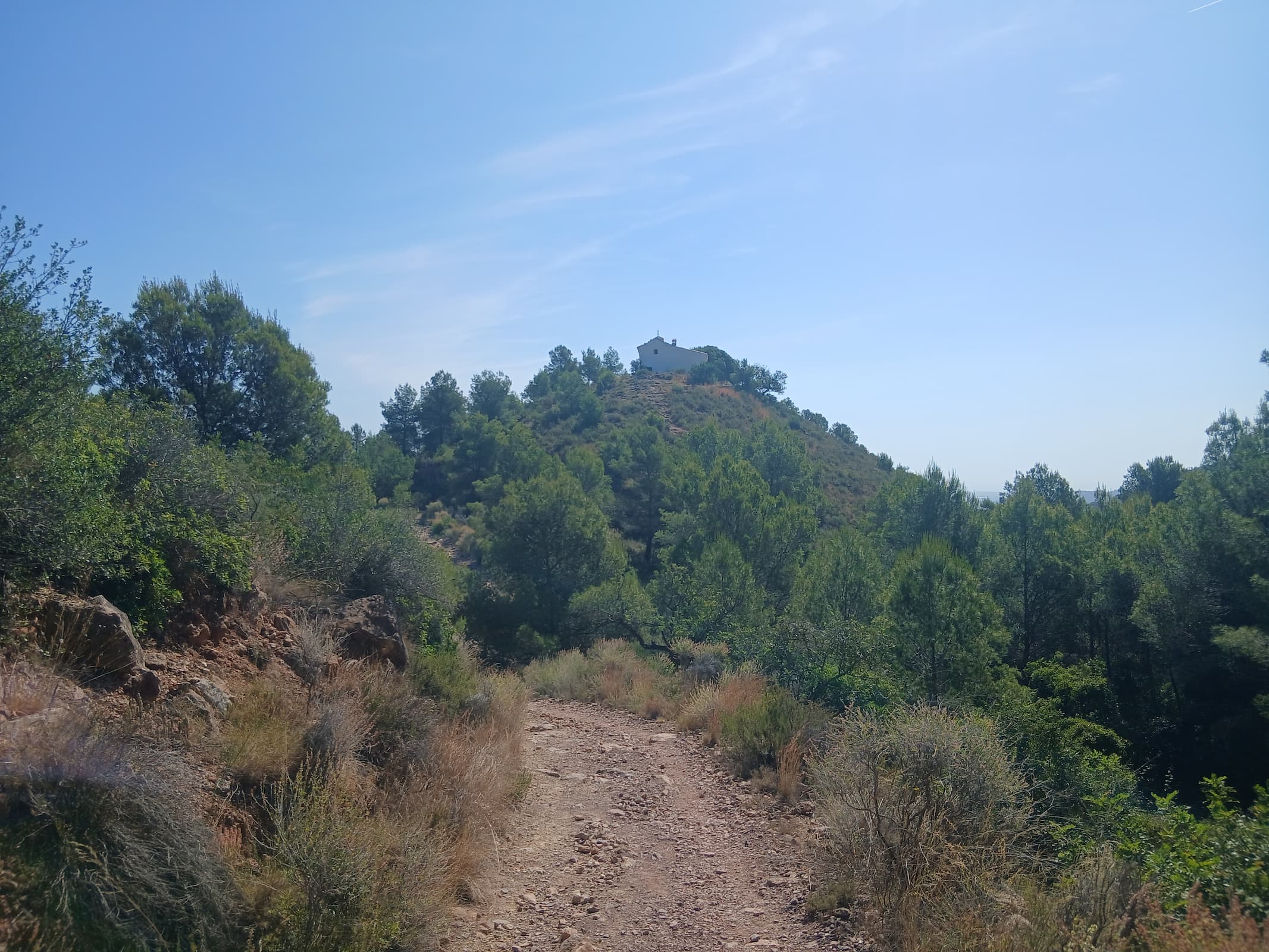
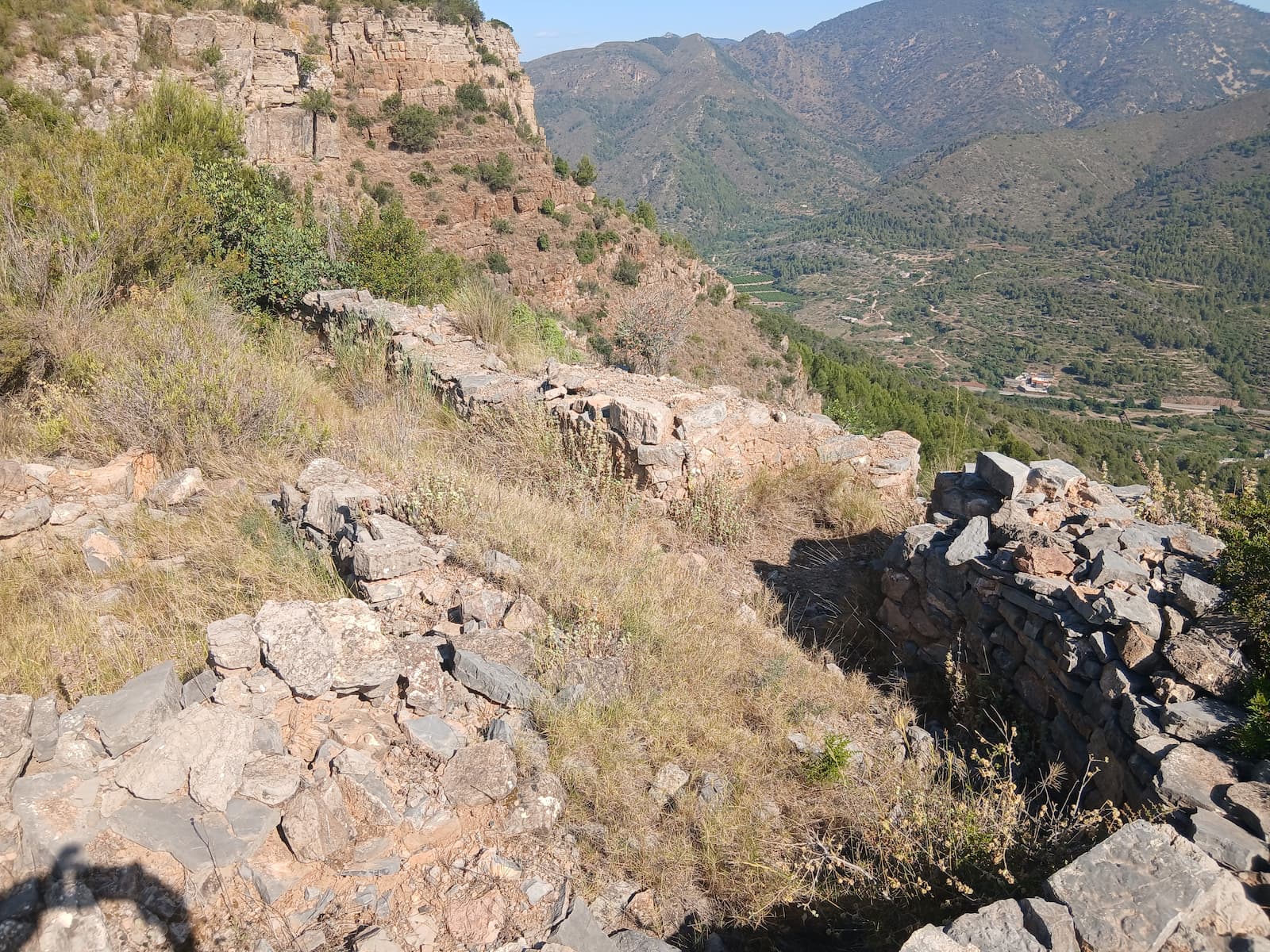
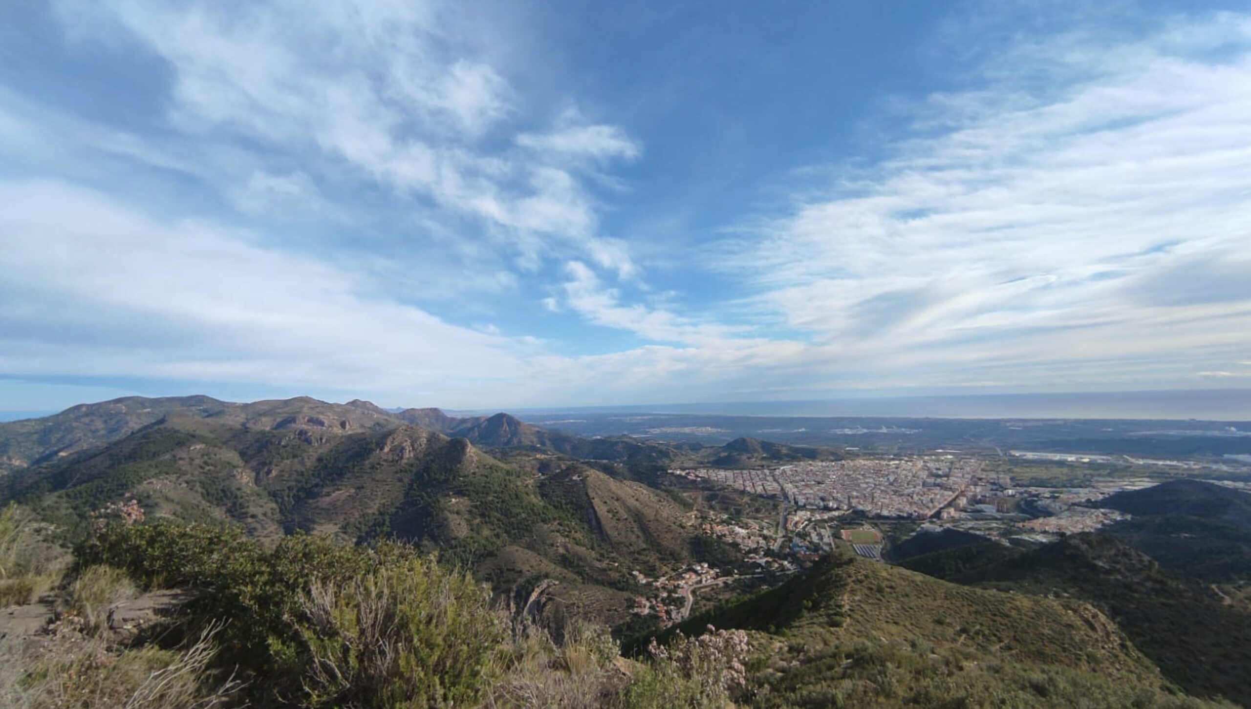
Images of the Pipa trail
Montalar and El Fondo Lagoon
Max elevation: 153 m
Min elevation: 62 m
Total climbing: 189 m
Total descent: -189 m
Montalar and El Fondo Lagoon is a route combining nature, landscape and biodiversity through some of the most distinctive areas of the Vall d’Uixó. It climbs to Montalar, with magnificent views over the town and its surroundings, and continues to the El Fondo lagoon, a site of great environmental interest.
Along the way, walkers discover the variety of landscapes that characterise the Vall, alternating mountain paths with wetlands of great ecological value. An ideal route to enjoy nature, observe native wildlife and plants, and get to know one of the most surprising and least-known places in the municipality.
La Torrassa
Max elevation: 216 m
Min elevation: 73 m
Total climbing: 329 m
Total descent: -329 m
La Torrassa is a route that invites you to discover one of the spots of greatest historical and scenic value in the Vall d’Uixó. It follows old mountain paths to the surroundings of La Torrassa, with wide views over the valley, the Sierra de Espadán and the coastal plain.
Along the way, walkers cross a typically Mediterranean landscape of pine woods, ravines and rock formations, also discovering features linked to the history and old uses of the land. An ideal route to enjoy nature, heritage and the spectacular views that make this spot one of the most privileged viewpoints in the Vall d’Uixó.
Iberian Trail
Max elevation: 569 m
Min elevation: 119 m
Total climbing: 573 m
Total descent: -574 m
Total time: 01:57:41
We start the route in Plaza de la Asunción and ascend through the streets towards the Turmón Ravine. Once we reach the ravine, we cross part of the town centre towards the Carbonaire Health Centre, where we take a track that climbs towards Sumet, leaving the ravine that we will later use for the descent on our right.
We continue ascending for approximately 30 minutes until we reach a small building with a sign indicating “Sumet – Eduardo Sorribes Estate”.
From this point, we continue along the track for another five minutes until we reach another fork. Here, we take the ascending path on our right. It is advisable to approach this section patiently, as in just over half an hour we will cover practically all the positive elevation gain of the route.
This is a demanding climb, but it is also very interesting from a historical perspective, as we pass several trenches during the ascent before reaching the summit of Sumet.
Once at the top, in the Peña Migdia area, we can enjoy privileged views over la Vall d'Uixó, Alfondeguilla and much of the Sierra de Espadán.
We continue until we reach an area of farmhouses known as Coll de Aigualit. Here, we take the descending track on our right and, approximately 200 metres further on, leave it to join a path that runs halfway up the side of the ravine.
This path leads us to the bottom of the ravine and allows us to reach the Vall Verda area. Once there, we simply continue walking along the ravine bed until we reach the bridge next to the Carbonaire Health Centre.
From this point, all that remains is to retrace the urban section back to the starting point and complete the route.
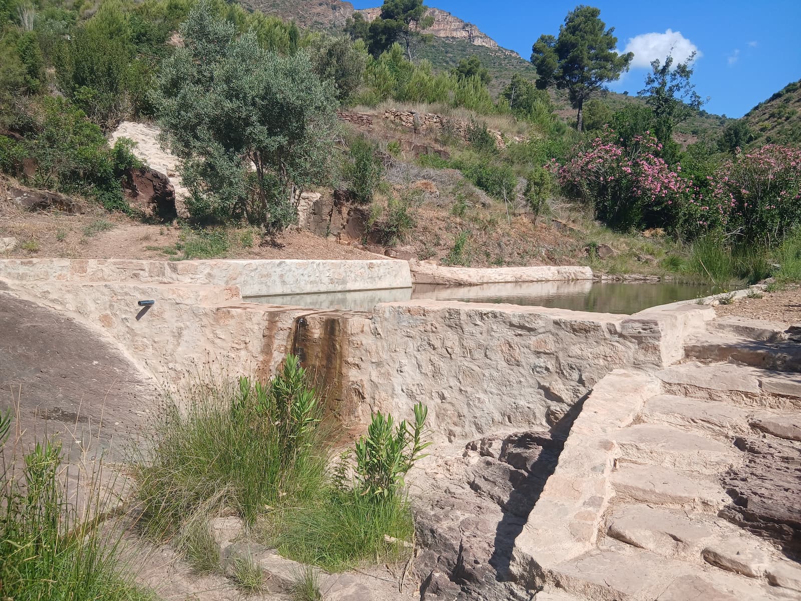
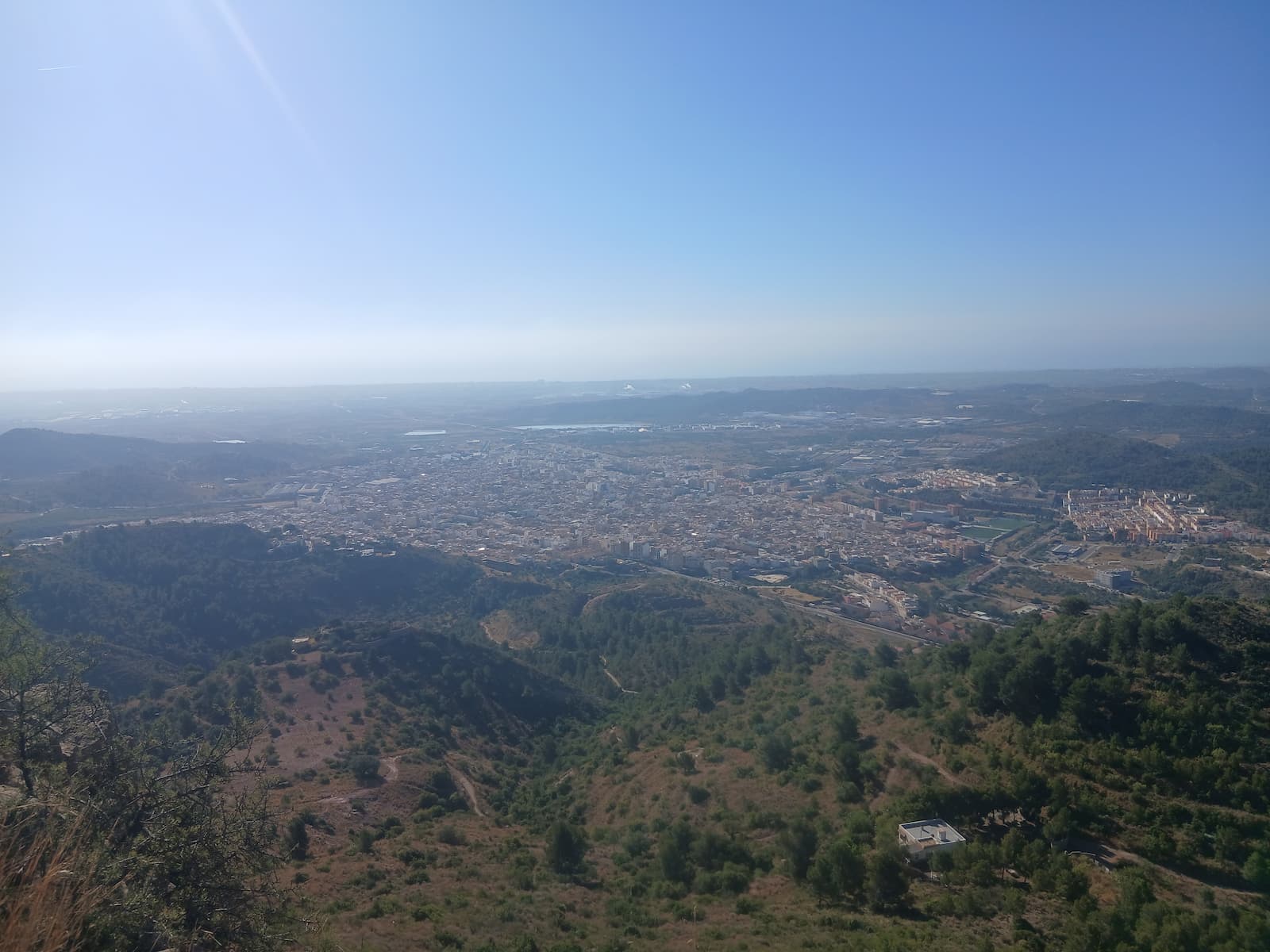
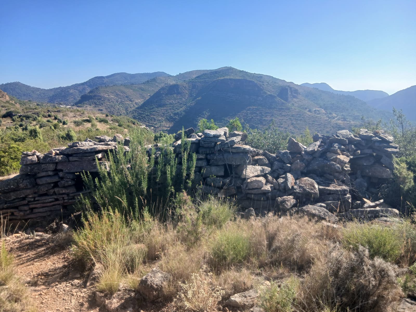
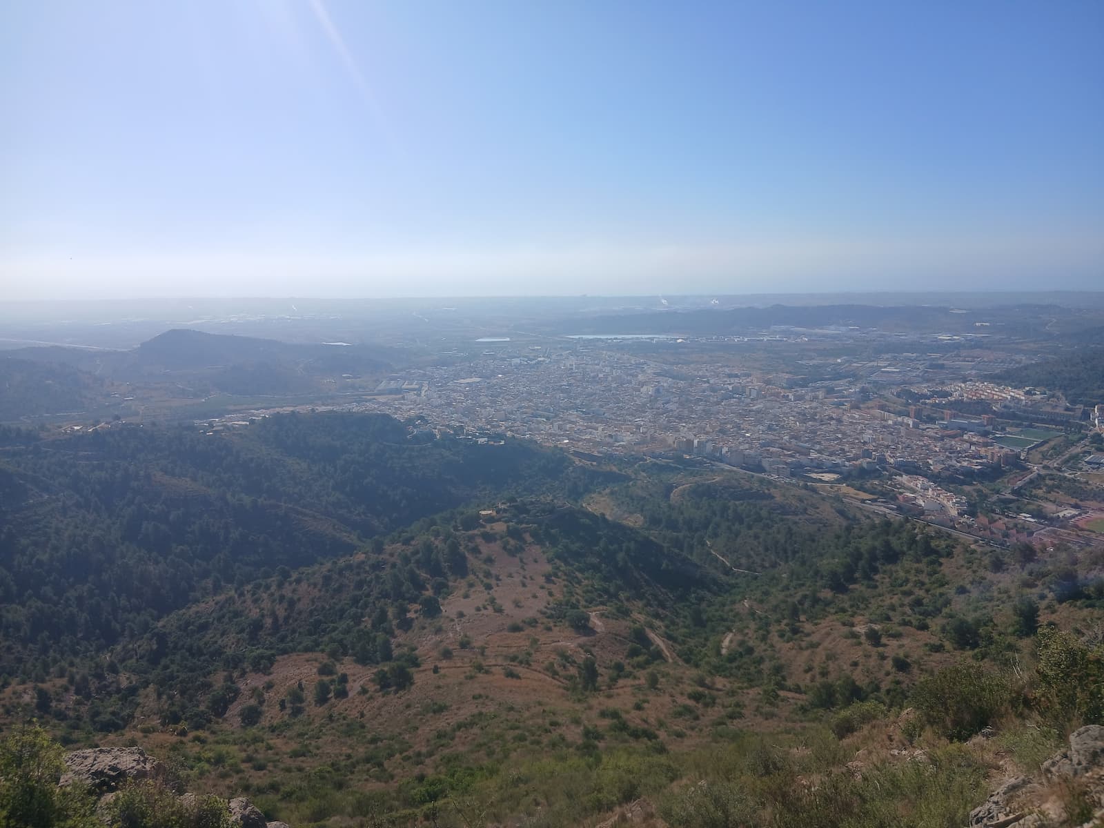
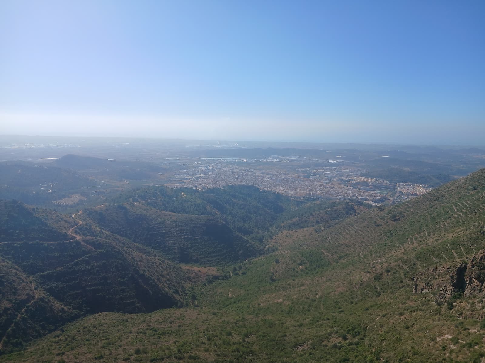
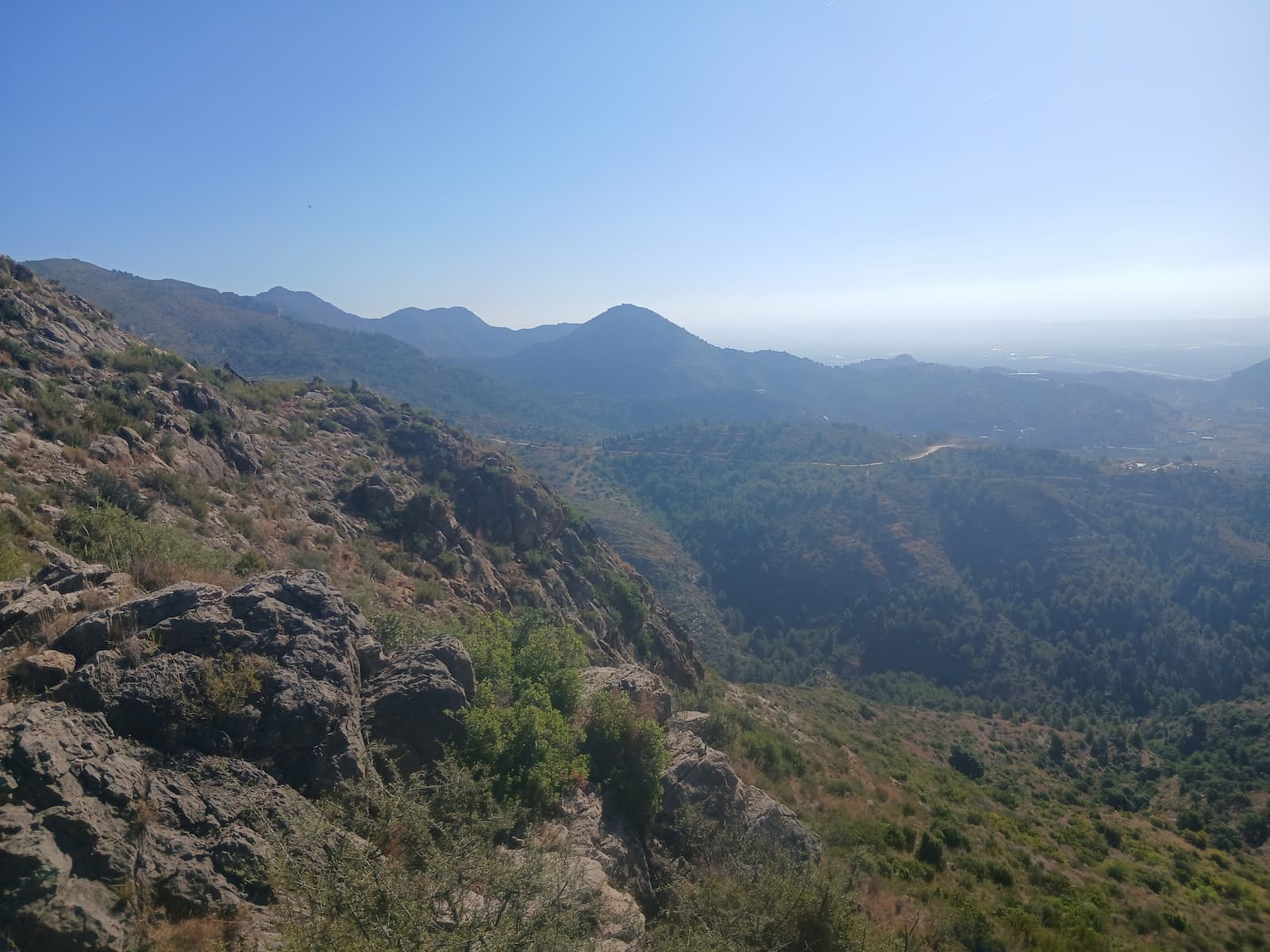
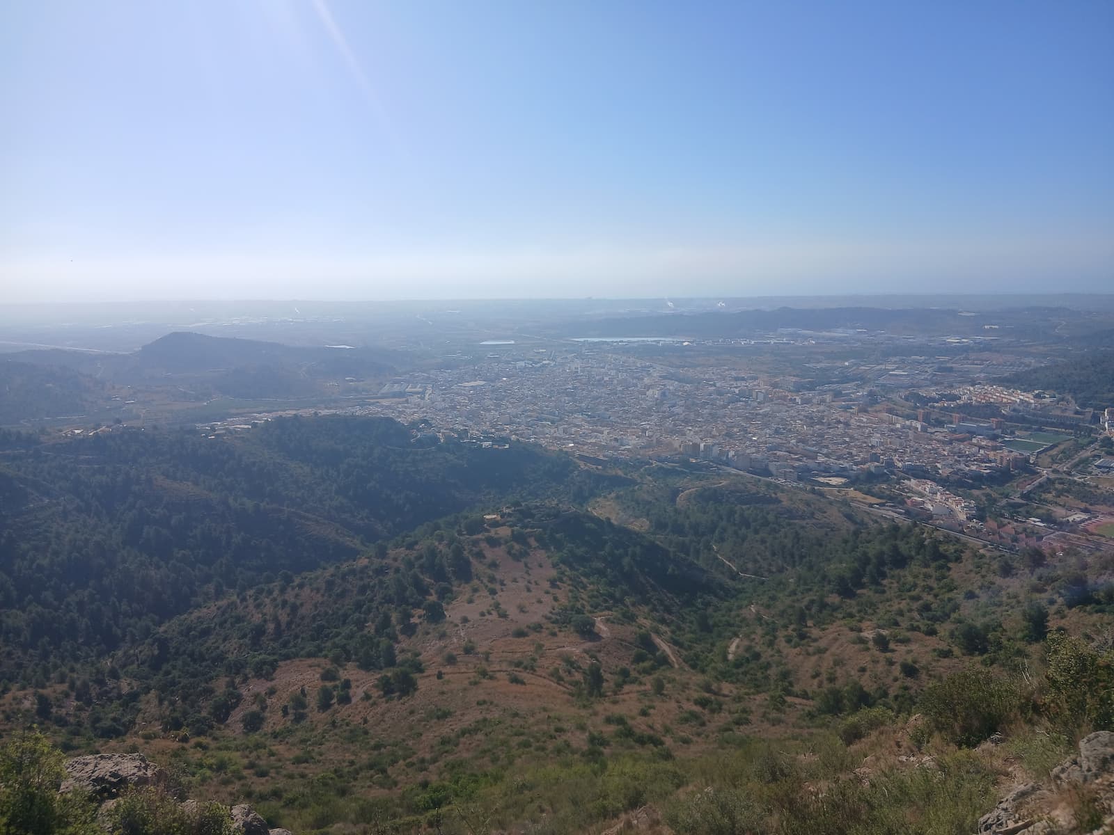
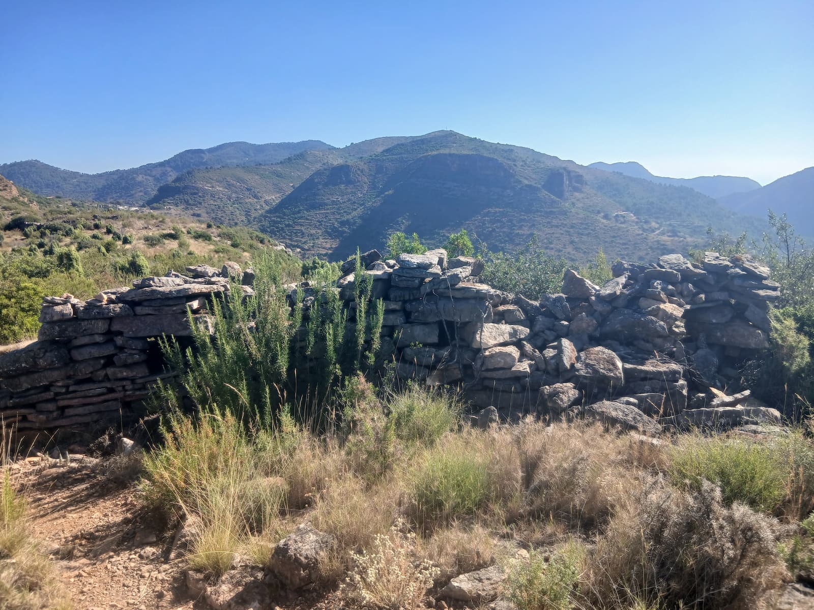
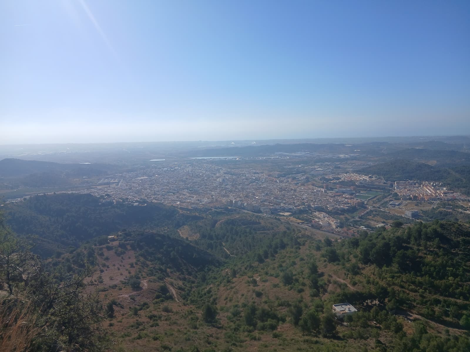
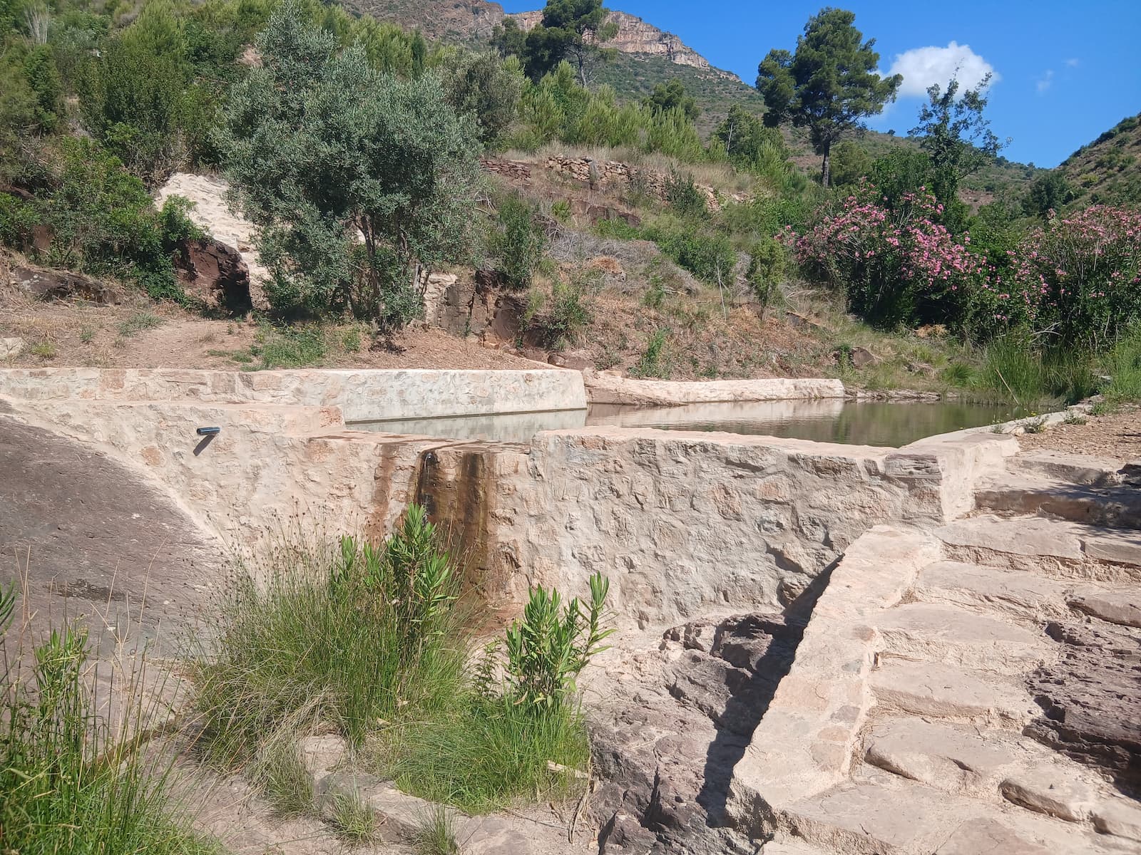
Images of the Iberian Trail
Camí de l'aigua
Max elevation: 143 m
Min elevation: 113 m
Total climbing: 145 m
Total descent: -146 m
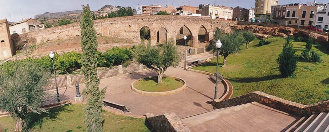
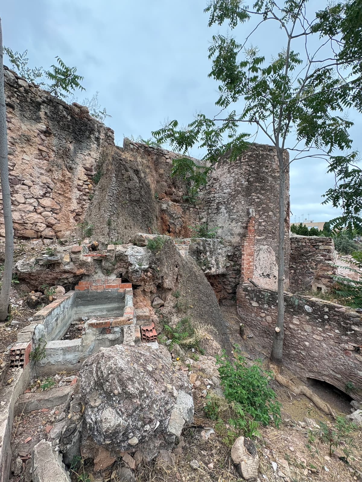
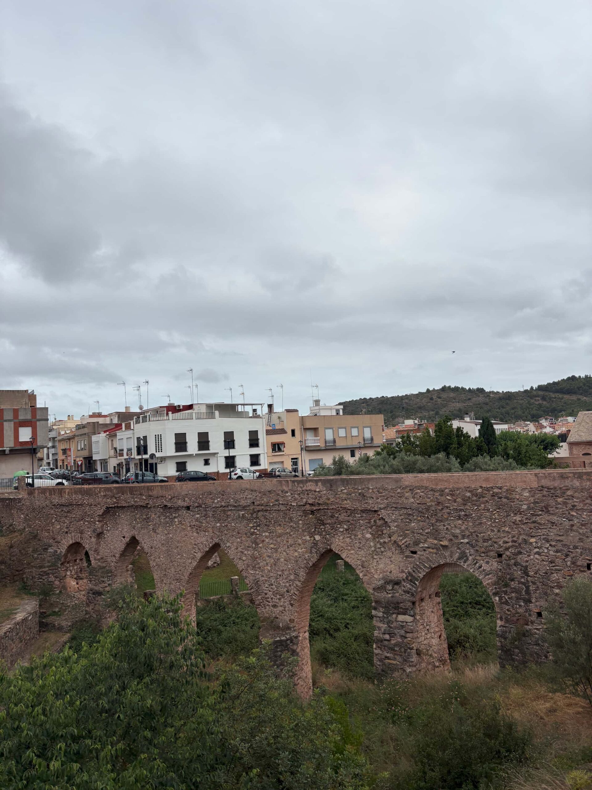
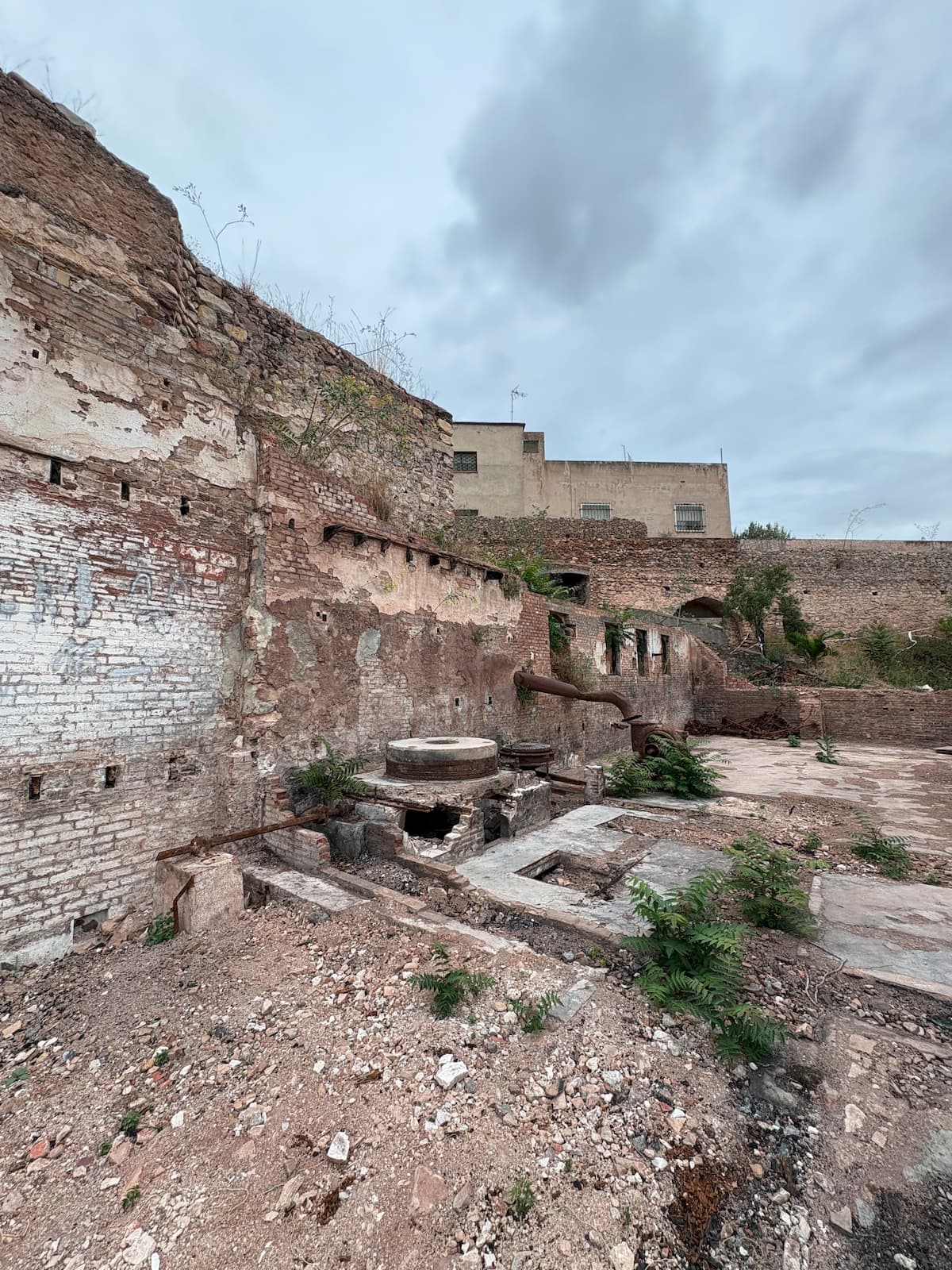
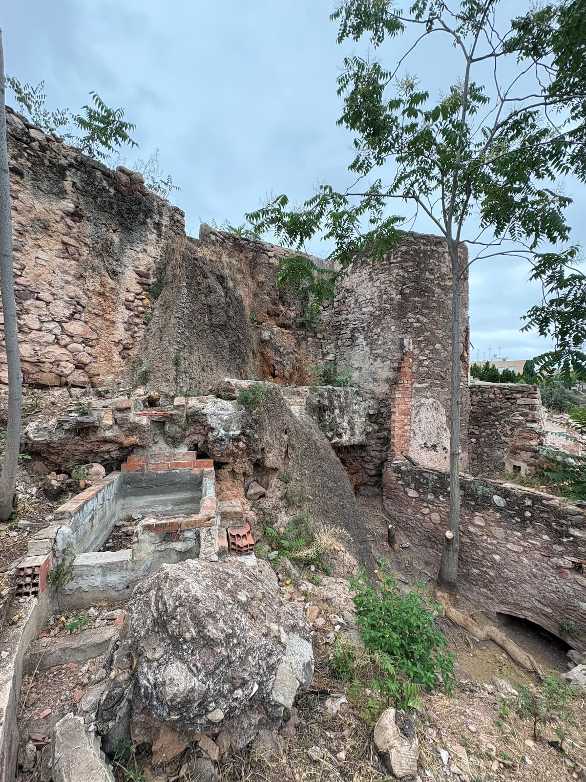
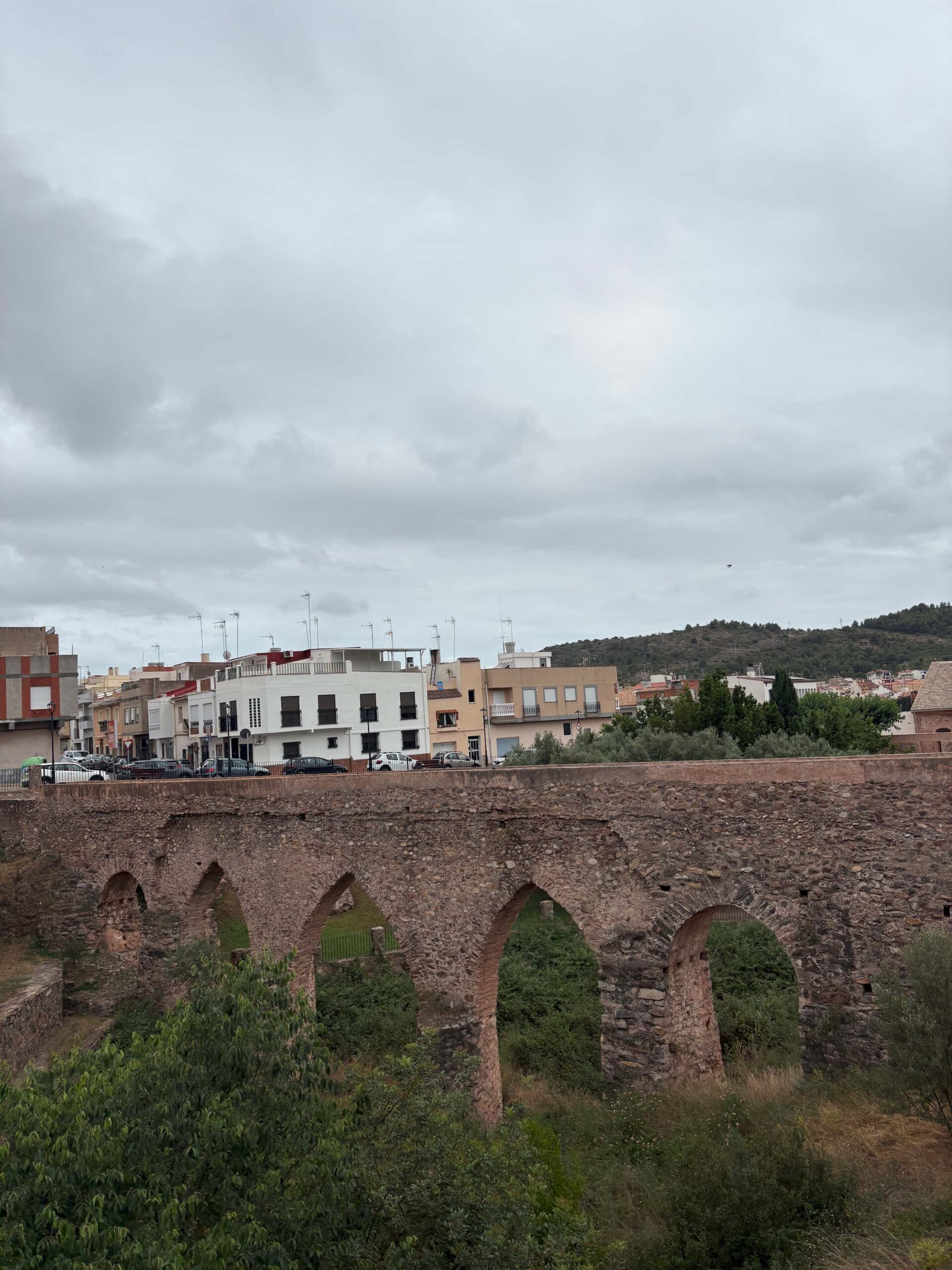
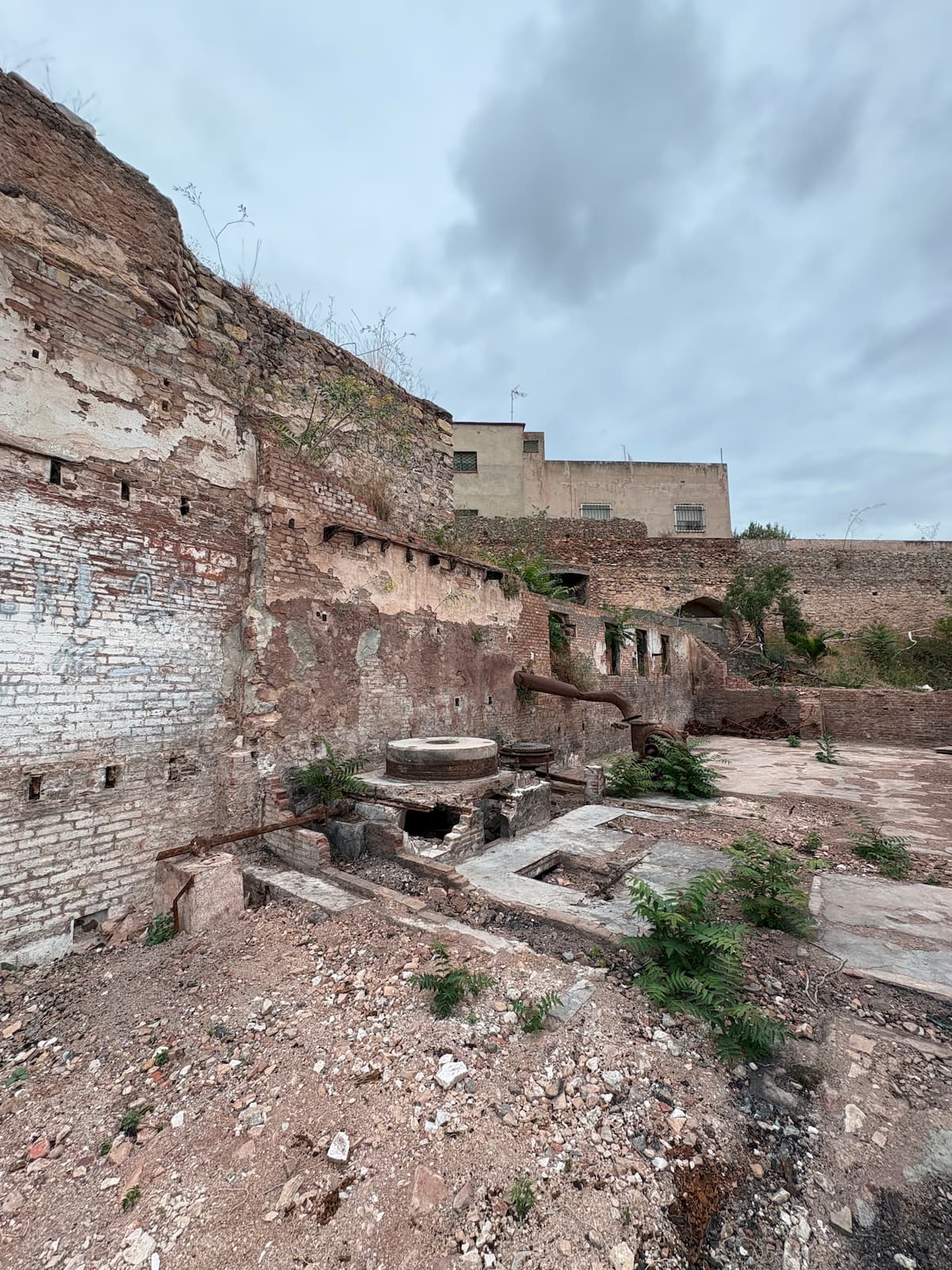
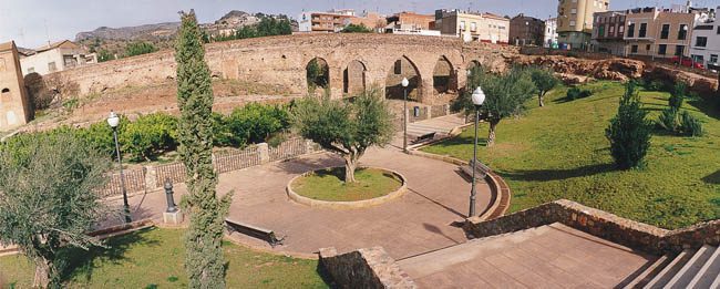
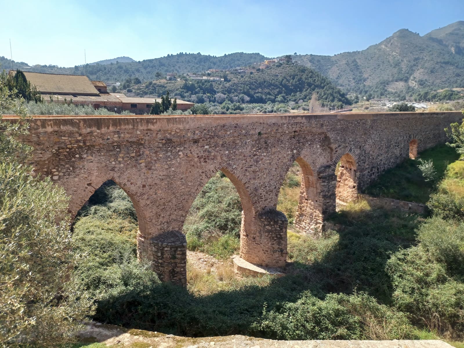
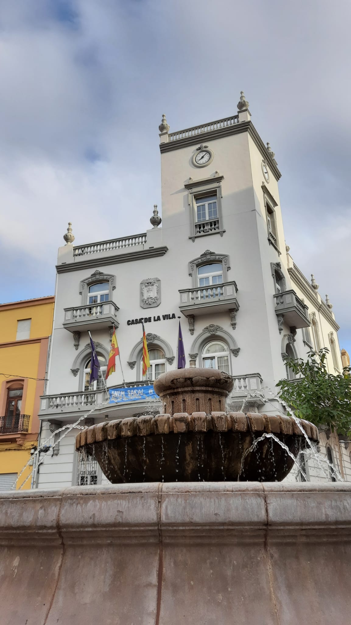
Camins de l’Aigua is a route that invites visitors to discover the history of la Vall d’Uixó by following the path taken by water for centuries, from the area surrounding les Coves de Sant Josep to the heart of the municipality. Through ancient aqueducts, irrigation channels, washhouses and sites of significant heritage value, the route reveals how water shaped the landscape, everyday life and the development of the town.
Walking these paths means delving into the memory of la Vall, passing through its most iconic streets and landscapes while discovering a historical and cultural legacy closely linked to one of its most valuable resources: water.
Images of the Camí de l'aigua

XYZ Line and Quistel Trail
Max elevation: 0 m
Min elevation: 0 m
Total climbing: 0 m
Total descent: 0 m
The XYZ Line and the Quistel Trail form a route that invites visitors to discover the history and landscapes of la Vall d’Uixó through an itinerary combining military heritage with Mediterranean nature. The route passes through several locations that formed part of the XYZ Line, one of the most important defensive systems of the Spanish Civil War, now integrated into a natural setting of considerable scenic value.
Along the way, hikers can see trenches, shelters and other defensive structures that bear witness to a key episode in recent history while following the Quistel Trail, one of the municipality’s most iconic paths. Surrounded by pine forests, ravines and natural viewpoints, the route offers a unique perspective over the mountain range and the valley, creating an experience that brings together memory, heritage and nature.
This itinerary provides an opportunity to rediscover the area from a different perspective, highlighting a historical and scenic legacy that forms part of the identity of la Vall d’Uixó.
Images of the XYZ Line and Quistel Trail